While the right side dominates the takeoff experience with the Zambezi gorge, the left side provides the more dramatic and sustained scenic payoff during the extended descent into Cape Town, where Table Mountain and the Cape Peninsula are iconic landmarks visible for 30+ minutes of the approach.
Flown LVI to CPT? Did we get it right?
Flight Path
Livingstone to Cape Town is 1,202 miles (1,934 km), a flight of about 2 hours 15 minutes.
The flight path crosses the Kalahari semi-arid plateau region with scattered acacia woodland and sparse settlement. Around the midpoint (near Francistown, Botswana area), the landscape transitions from Zambezi valley vegetation to drier bushveld. The Limpopo River valley may be visible to the east (right side) during cruise altitude, marking the Botswana-South Africa border. As the aircraft descends toward Cape Town, the Drakensberg Mountains' foothills appear on the left (east) side, and the landscape transitions to fynbos vegetation and coastal plains.
Great circle distance and headings ›


Phase by phase
Takeoff from LVI
RIGHTRight side offers immediate views of the Zambezi River and its gorge system as the aircraft climbs southward from Livingstone. The river's dramatic canyon is visible for the first 10-15 minutes of flight before the aircraft gains altitude and turns toward the southwest approach to Cape Town.
Landing at CPT
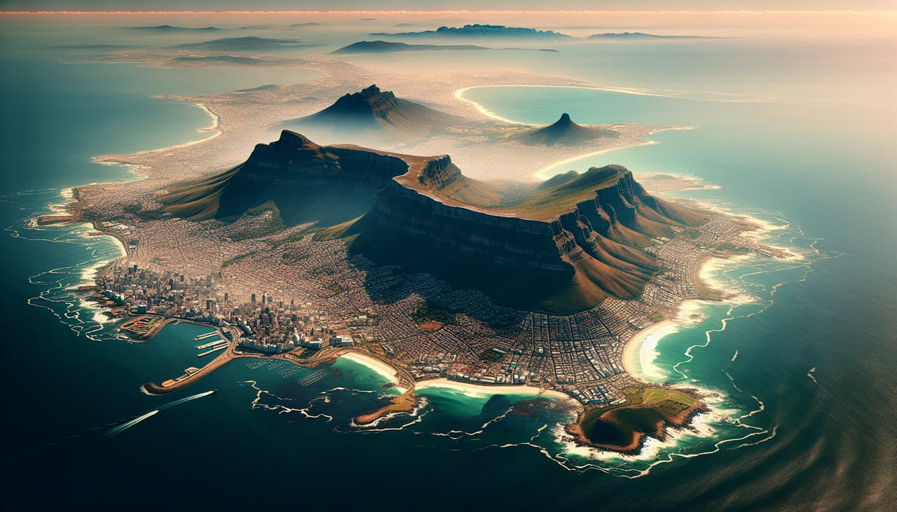
LEFTLeft side provides excellent views during descent into Cape Town, including Table Mountain's distinctive flat-topped profile, the Twelve Apostles mountain range, and the Cape Peninsula's geography. These landmarks are directly aligned with the typical westward approach path into Cape Town International.
Will your flight be in sunlight?
Pick a date and time in the Sun Map to watch the sun move across your whole flight.
About This Route
Which side of the plane should I sit on flying from Harry Mwanga Nkumbula International Airport (LVI) to Cape Town International (CPT)?
Sit on the Left side of the plane for the best views on flights from Livingstone to Cape Town. While the right side dominates the takeoff experience with the Zambezi gorge, the left side provides the more dramatic and sustained scenic payoff during the extended descent into Cape Town, where Table Mountain and the Cape Peninsula are iconic landmarks visible for 30+ minutes of the approach.
What can I see during takeoff from Harry Mwanga Nkumbula International Airport in Livingstone?
During takeoff from Harry Mwanga Nkumbula International Airport (LVI), sit on the Right side for the best views. Right side offers immediate views of the Zambezi River and its gorge system as the aircraft climbs southward from Livingstone. The river's dramatic canyon is visible for the first 10-15 minutes of flight before the aircraft gains altitude and turns toward the southwest approach to Cape Town. Notable sights include: Zambezi River and Victoria Falls gorge, Batoka Gorge, Livingstone town and airfield (receding below), Zambezi floodplain to the east.
What can I see when landing at Cape Town International in Cape Town?
When landing at Cape Town International (CPT), sit on the Left side for the best views. Left side provides excellent views during descent into Cape Town, including Table Mountain's distinctive flat-topped profile, the Twelve Apostles mountain range, and the Cape Peninsula's geography. These landmarks are directly aligned with the typical westward approach path into Cape Town International. Notable sights include: Table Mountain (flat-topped, 3,563 ft), Twelve Apostles ridge line, Cape Peninsula and coastline, False Bay to the east.
How long is the flight from Livingstone to Cape Town?
The flight from Harry Mwanga Nkumbula International Airport (LVI) to Cape Town International (CPT) takes about 2 hours 15 minutes. The shortest flight path between them is 1,202 miles (1,934 km); winds and air traffic control usually add a few percent.
What does the Livingstone to Cape Town flight path pass over?
The flight path crosses the Kalahari semi-arid plateau region with scattered acacia woodland and sparse settlement. Around the midpoint (near Francistown, Botswana area), the landscape transitions from Zambezi valley vegetation to drier bushveld. The Limpopo River valley may be visible to the east (right side) during cruise altitude, marking the Botswana-South Africa border. As the aircraft descends toward Cape Town, the Drakensberg Mountains' foothills appear on the left (east) side, and the landscape transitions to fynbos vegetation and coastal plains.