While the takeoff briefly favors the left with Melbourne's bay and skyline, the right side wins overall thanks to Queensland's coastal scenery early in the route and Taiwan's Central Mountain Range dominating the final approach, giving more sustained visual interest across the flight.
Flown MEL to TPE? Did we get it right?
Flight Path
Melbourne to Taipei is 4,598 miles (7,400 km), a flight of about 9 hours 35 minutes.
Coral Sea, eastern Indonesian islands (Halmahera/Maluku), Philippine Sea, southern Philippines coastline
Great circle distance and headings ›


Phase by phase
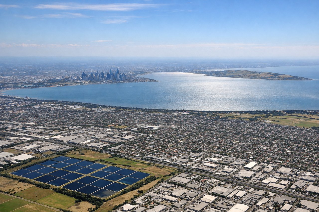
Takeoff from MEL
LEFTDeparting MEL on runway 34, the climb north takes the aircraft over Port Phillip Bay's northern shoreline and the Melbourne CBD skyline briefly visible to the southwest on the left side. The right side over the northern suburbs and flat Victorian farmland is comparatively featureless.
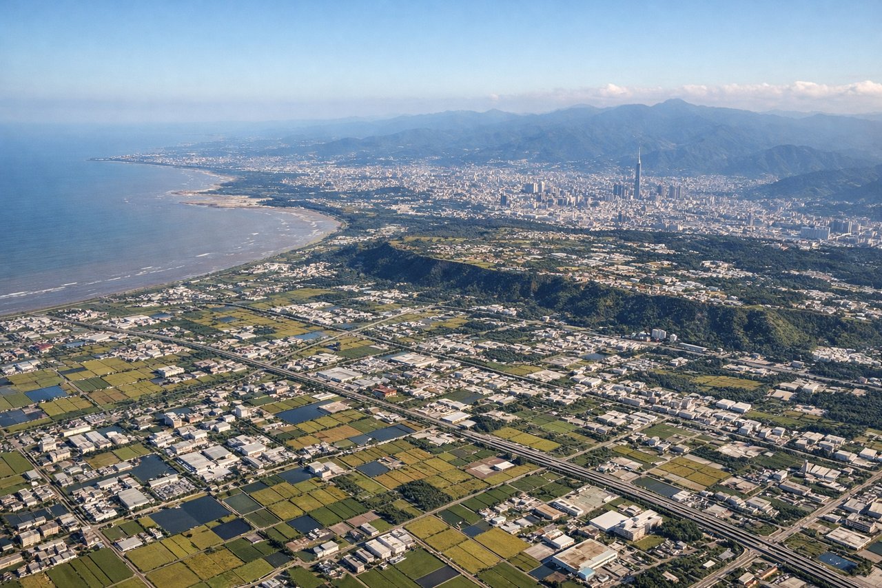
Landing at TPE
RIGHTOn approach into TPE from the south, the flight path runs along Taiwan's western coastal plain, putting the island's dramatic Central Mountain Range on the right side of the aircraft. The left side faces the flatter Taiwan Strait coastline with less topographic interest.
Will your flight be in sunlight?
Pick a date and time in the Sun Map to watch the sun move across your whole flight.
About This Route
Which side of the plane should I sit on flying from Melbourne International (MEL) to Chiang Kai Shek International (TPE)?
Sit on the Right side of the plane for the best views on flights from Melbourne to Taipei. While the takeoff briefly favors the left with Melbourne's bay and skyline, the right side wins overall thanks to Queensland's coastal scenery early in the route and Taiwan's Central Mountain Range dominating the final approach, giving more sustained visual interest across the flight.
What can I see during takeoff from Melbourne International in Melbourne?
During takeoff from Melbourne International (MEL), sit on the Left side for the best views. Departing MEL on runway 34, the climb north takes the aircraft over Port Phillip Bay's northern shoreline and the Melbourne CBD skyline briefly visible to the southwest on the left side. The right side over the northern suburbs and flat Victorian farmland is comparatively featureless. Notable sights include: Port Phillip Bay, Melbourne CBD skyline, Yarra River mouth, Westgate Bridge.
What can I see when landing at Chiang Kai Shek International in Taipei?
When landing at Chiang Kai Shek International (TPE), sit on the Right side for the best views. On approach into TPE from the south, the flight path runs along Taiwan's western coastal plain, putting the island's dramatic Central Mountain Range on the right side of the aircraft. The left side faces the flatter Taiwan Strait coastline with less topographic interest. Notable sights include: Central Mountain Range, Alishan foothills, Taichung coastal plain, Taipei Basin.
How long is the flight from Melbourne to Taipei?
The flight from Melbourne International (MEL) to Chiang Kai Shek International (TPE) takes about 9 hours 35 minutes. The shortest flight path between them is 4,598 miles (7,400 km); winds and air traffic control usually add a few percent.
What does the Melbourne to Taipei flight path pass over?
Coral Sea, eastern Indonesian islands (Halmahera/Maluku), Philippine Sea, southern Philippines coastline