Right-side seats dominate both departure and arrival. The eastbound climb from MEX showcases Mexico's volcanic peaks, and the westbound descent into FCO aligns the right side with the Tyrrhenian Sea approach and Tiber delta. Left seats see only the valley floor on departure and inland terrain on arrival.
Flown MEX to FCO? Did we get it right?
Flight Path
Mexico City to Rome is 6,352 miles (10,223 km), a flight of about 11 hours 10 minutes.
The flight path crosses the Atlantic at roughly 35°N latitude, passing south of the Azores (visible only on clear days at cruise altitude as small dark specks on the horizon). Over the Atlantic, no significant landmarks are visible. Approaching Europe, the flight enters Spanish airspace over Galicia or Portugal, where the Iberian Peninsula's western coastline becomes visible. The route typically crosses central Spain (Meseta plateau visible as tan, rolling terrain), then over the Pyrenees (snow-capped peaks on clear days, appearing as a white line on the horizon), and into southern France. The Alps are sometimes visible to the north as a distant white ridge. The final approach crosses the Mediterranean coast of Italy before turning toward Rome.
Great circle distance and headings ›


Phase by phase
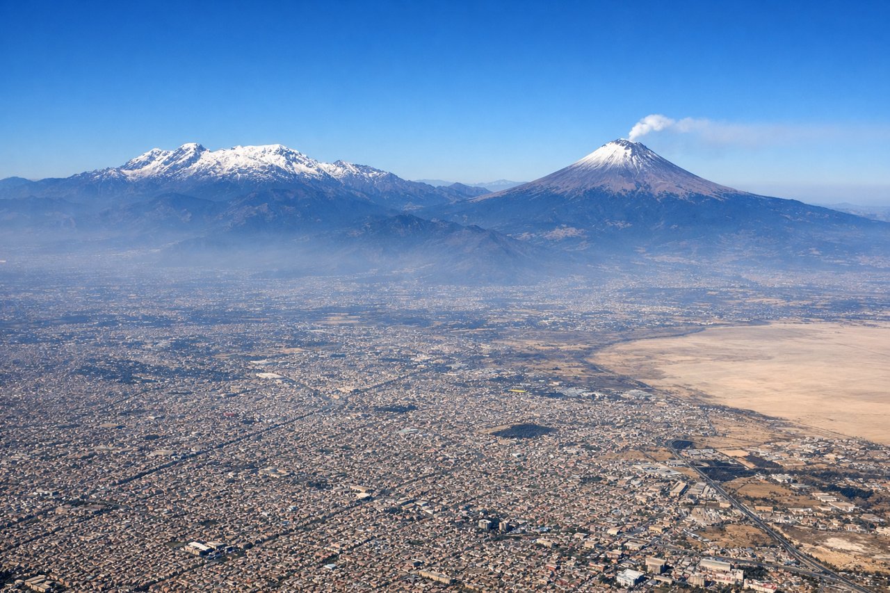
Takeoff from MEX
RIGHTMEX typically departs eastbound (Runways 05L/05R) or westbound (Runways 23L/23R). Right seats capture the Valley of Mexico's eastern rim and the snow-capped volcanoes that dominate the departure corridor. Westbound departures offer the best volcano views as you climb out over the high plateau.
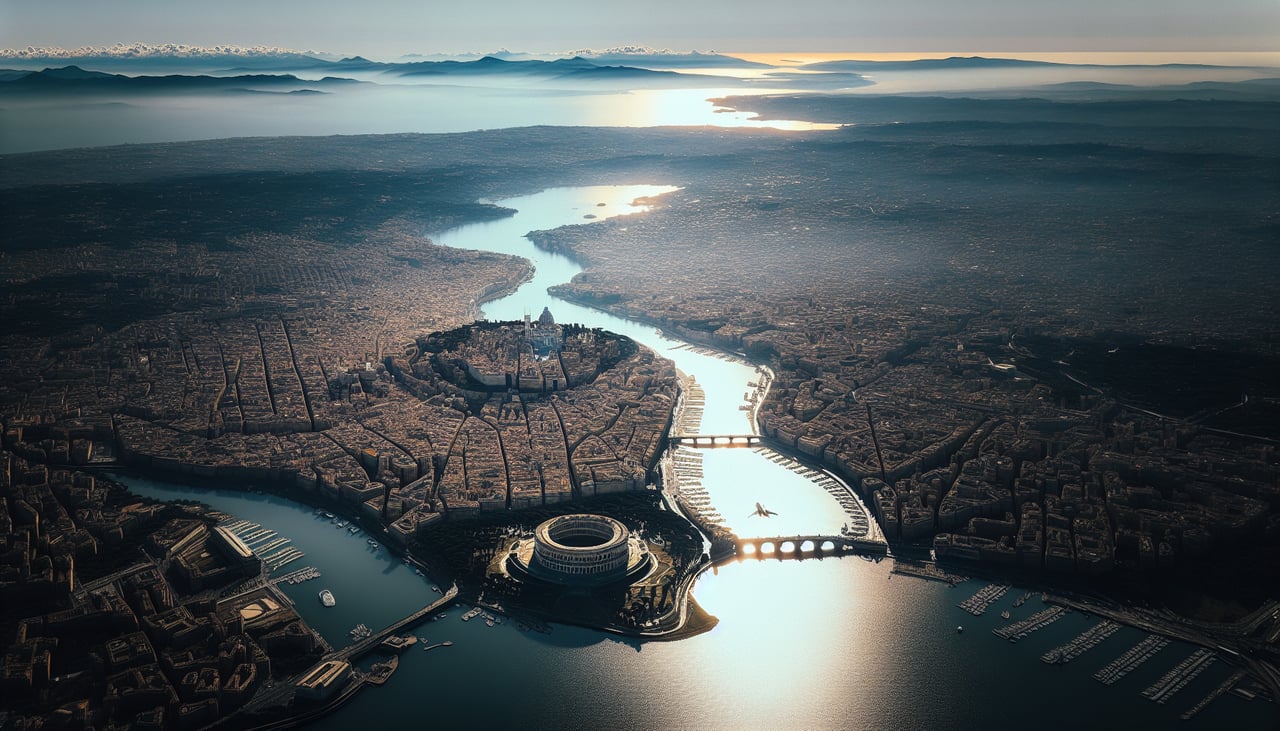
Landing at FCO
RIGHTFCO (Fiumicino) typically uses Runways 16L/16R for landing (northbound approach over the Tyrrhenian Sea). Right-side seats provide clear views of the Tiber River delta, the Roman coastline, and the approach path over the Mediterranean. The descent path offers excellent visibility of the Castelli Romani hills and the Pontine Marshes to the south.
Will your flight be in sunlight?
Pick a date and time in the Sun Map to watch the sun move across your whole flight.
About This Route
Which side of the plane should I sit on flying from Licenciado Benito Juarez International (MEX) to Fiumicino (FCO)?
Sit on the Right side of the plane for the best views on flights from Mexico City to Rome. Right-side seats dominate both departure and arrival. The eastbound climb from MEX showcases Mexico's volcanic peaks, and the westbound descent into FCO aligns the right side with the Tyrrhenian Sea approach and Tiber delta. Left seats see only the valley floor on departure and inland terrain on arrival.
What can I see during takeoff from Licenciado Benito Juarez International in Mexico City?
During takeoff from Licenciado Benito Juarez International (MEX), sit on the Right side for the best views. MEX typically departs eastbound (Runways 05L/05R) or westbound (Runways 23L/23R). Right seats capture the Valley of Mexico's eastern rim and the snow-capped volcanoes that dominate the departure corridor. Westbound departures offer the best volcano views as you climb out over the high plateau. Notable sights include: Popocatépetl volcano (5,426m, often snow-capped), Iztaccíhuatl volcano (5,230m, distinctive twin peaks), Lake Texcoco remnants (visible as water bodies and wetlands in the valley floor), Sierra de Guadalupe ridge to the north.
What can I see when landing at Fiumicino in Rome?
When landing at Fiumicino (FCO), sit on the Right side for the best views. FCO (Fiumicino) typically uses Runways 16L/16R for landing (northbound approach over the Tyrrhenian Sea). Right-side seats provide clear views of the Tiber River delta, the Roman coastline, and the approach path over the Mediterranean. The descent path offers excellent visibility of the Castelli Romani hills and the Pontine Marshes to the south. Notable sights include: Tiber River delta and mouth (distinctive branching pattern where river meets sea), Tyrrhenian Sea coastline with beach towns, Castelli Romani volcanic hills (southeast of Rome, visible as elevated terrain), Pontine Marshes (flat reclaimed wetland area south of Rome).
How long is the flight from Mexico City to Rome?
The flight from Licenciado Benito Juarez International (MEX) to Fiumicino (FCO) takes about 11 hours 10 minutes. The shortest flight path between them is 6,352 miles (10,223 km); winds and air traffic control usually add a few percent.
What does the Mexico City to Rome flight path pass over?
The flight path crosses the Atlantic at roughly 35°N latitude, passing south of the Azores (visible only on clear days at cruise altitude as small dark specks on the horizon). Over the Atlantic, no significant landmarks are visible. Approaching Europe, the flight enters Spanish airspace over Galicia or Portugal, where the Iberian Peninsula's western coastline becomes visible. The route typically crosses central Spain (Meseta plateau visible as tan, rolling terrain), then over the Pyrenees (snow-capped peaks on clear days, appearing as a white line on the horizon), and into southern France. The Alps are sometimes visible to the north as a distant white ridge. The final approach crosses the Mediterranean coast of Italy before turning toward Rome.