The right side delivers the flight's most dramatic scenery — the Big Sur coastal cliffs at departure and desert mountain textures during cruise — while the left side's landing view, though nice, is a shorter payoff. Combined across takeoff and cruise, the right side offers more consistent visual drama.
Flown MRY to PHX? Did we get it right?
Flight Path
Monterey to Phoenix is 597 miles (961 km), a flight of about 1 hour 55 minutes.
San Joaquin Valley farmland, Sierra Nevada foothills, Mojave Desert, Colorado River near the California-Arizona border
Great circle distance and headings ›Phase by phase
Takeoff from MRY
RIGHTDeparting MRY on runway 28L, the aircraft climbs out over Monterey Bay before turning southeast toward Phoenix, giving right-side passengers a sweeping view of the rugged Big Sur coastline and Santa Lucia Mountains falling into the Pacific. Left-side passengers mostly see the flatter Salinas Valley and inland farmland.
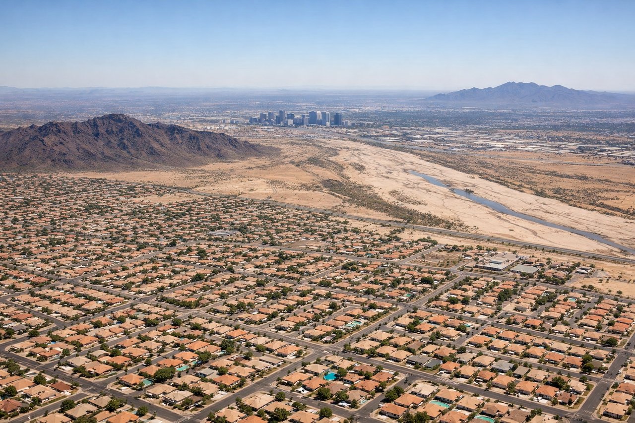
Landing at PHX
LEFTOn a typical west-flow approach into PHX, the aircraft descends from the west with final turns bringing the Phoenix skyline and the McDowell Mountains into view on the left side, along with Camelback Mountain's distinctive hump. The right side mainly shows the flatter Estrella foothills and open desert.
Will your flight be in sunlight?
Pick a date and time in the Sun Map to watch the sun move across your whole flight.
About This Route
Which side of the plane should I sit on flying from Monterey Regional Airport (MRY) to Phoenix Sky Harbor International (PHX)?
Sit on the Right side of the plane for the best views on flights from Monterey to Phoenix. The right side delivers the flight's most dramatic scenery — the Big Sur coastal cliffs at departure and desert mountain textures during cruise — while the left side's landing view, though nice, is a shorter payoff. Combined across takeoff and cruise, the right side offers more consistent visual drama.
What can I see during takeoff from Monterey Regional Airport in Monterey?
During takeoff from Monterey Regional Airport (MRY), sit on the Right side for the best views. Departing MRY on runway 28L, the aircraft climbs out over Monterey Bay before turning southeast toward Phoenix, giving right-side passengers a sweeping view of the rugged Big Sur coastline and Santa Lucia Mountains falling into the Pacific. Left-side passengers mostly see the flatter Salinas Valley and inland farmland. Notable sights include: Monterey Bay, Point Lobos, Big Sur coastline, Santa Lucia Mountains.
What can I see when landing at Phoenix Sky Harbor International in Phoenix?
When landing at Phoenix Sky Harbor International (PHX), sit on the Left side for the best views. On a typical west-flow approach into PHX, the aircraft descends from the west with final turns bringing the Phoenix skyline and the McDowell Mountains into view on the left side, along with Camelback Mountain's distinctive hump. The right side mainly shows the flatter Estrella foothills and open desert. Notable sights include: Camelback Mountain, McDowell Mountains, Phoenix downtown skyline, Sonoran Desert valley floor.
How long is the flight from Monterey to Phoenix?
The flight from Monterey Regional Airport (MRY) to Phoenix Sky Harbor International (PHX) takes about 1 hour 55 minutes. The shortest flight path between them is 597 miles (961 km); winds and air traffic control usually add a few percent.
What does the Monterey to Phoenix flight path pass over?
San Joaquin Valley farmland, Sierra Nevada foothills, Mojave Desert, Colorado River near the California-Arizona border