Minneapolis to San Antonio is 1,096 miles (1,764 km), a flight of about 2 hours 15 minutes.
While takeoff favors the right, the landing view from the left is significantly more interesting, showing San Antonio's urban core and the transition into Hill Country. The flight path itself (heading south-southwest then curving southeast) means left-side seats capture more of the meaningful geography during descent.
Flight Path
The flight crosses central Missouri and northern Arkansas. Notable features include the Ozark Plateau (visible as rolling, forested terrain with subtle elevation changes), the White River drainage system, and the transition from Midwestern agricultural land to the more rugged Ozark topography. The landscape shifts from flat to gently rolling around the Missouri-Arkansas border, with increasing tree cover and fewer large cities. No major mountain ranges are visible, but the Ozark plateau creates noticeable terrain variation compared to the flat Minnesota departure area.
Great circle distance and headings ›Phase by phase
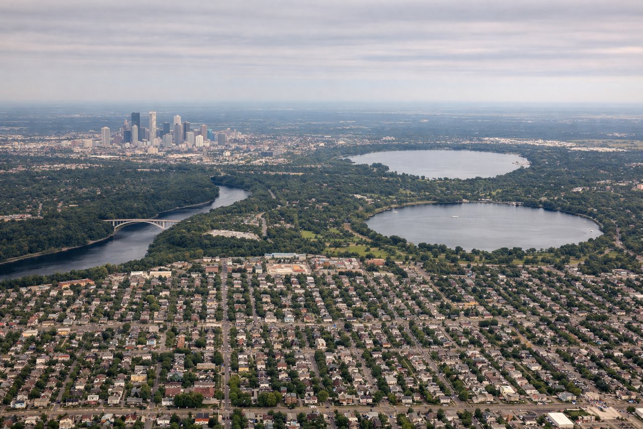
Takeoff from MSP
RIGHTMSP typically departs to the south or southwest. Right-side seats offer views of the Minnesota River valley and the urban sprawl of the Twin Cities expanding southward, with better sightlines to the landscape you'll be flying over for the first 30 minutes.
Landing at RND
LEFTRandolph AFB is located northeast of San Antonio. Left-side seats during approach will show the city's downtown core, the San Antonio River, and the distinctive urban-to-rural transition as you descend toward the base. You'll see the Hill Country terrain rising to the north and west.
Landmarks on this routeAll landmarks →
Will your flight be in sunlight?
Pick a date and time in the Sun Map to watch the sun move across your whole flight.
About This Route
Which side of the plane should I sit on flying from Minneapolis St Paul International (MSP) to Randolph Afb (RND)?
Sit on the Left side of the plane for the best views on flights from Minneapolis to San Antonio. While takeoff favors the right, the landing view from the left is significantly more interesting, showing San Antonio's urban core and the transition into Hill Country. The flight path itself (heading south-southwest then curving southeast) means left-side seats capture more of the meaningful geography during descent.
What can I see during takeoff from Minneapolis St Paul International in Minneapolis?
During takeoff from Minneapolis St Paul International (MSP), sit on the Right side for the best views. MSP typically departs to the south or southwest. Right-side seats offer views of the Minnesota River valley and the urban sprawl of the Twin Cities expanding southward, with better sightlines to the landscape you'll be flying over for the first 30 minutes. Notable sights include: Minnesota River valley (visible as a distinct drainage corridor), Minneapolis-St. Paul urban grid, Mall of America complex near Bloomington, Chain of Lakes district.
What can I see when landing at Randolph Afb in San Antonio?
When landing at Randolph Afb (RND), sit on the Left side for the best views. Randolph AFB is located northeast of San Antonio. Left-side seats during approach will show the city's downtown core, the San Antonio River, and the distinctive urban-to-rural transition as you descend toward the base. You'll see the Hill Country terrain rising to the north and west. Notable sights include: San Antonio downtown and River Walk corridor, Hill Country limestone terrain, Brackenridge Park, urban sprawl transitioning to ranch land.
How long is the flight from Minneapolis to San Antonio?
The flight from Minneapolis St Paul International (MSP) to Randolph Afb (RND) takes about 2 hours 15 minutes. The shortest flight path between them is 1,096 miles (1,764 km); winds and air traffic control usually add a few percent.
What does the Minneapolis to San Antonio flight path pass over?
The flight crosses central Missouri and northern Arkansas. Notable features include the Ozark Plateau (visible as rolling, forested terrain with subtle elevation changes), the White River drainage system, and the transition from Midwestern agricultural land to the more rugged Ozark topography. The landscape shifts from flat to gently rolling around the Missouri-Arkansas border, with increasing tree cover and fewer large cities. No major mountain ranges are visible, but the Ozark plateau creates noticeable terrain variation compared to the flat Minnesota departure area.