The right side captures the most visually distinctive geography: the Franconian landscape during departure and the gradual transition across central England's varied terrain during cruise. While the left side offers estuary views on approach, the right side provides more consistent scenic interest across the entire flight.
Flown NUE to STN? Did we get it right?
Flight Path
Nuernberg to London is 502 miles (808 km), a flight of about 2 hours 15 minutes.
The flight path crosses the North Sea or travels over the English Midlands depending on routing. Notable features include: the Rhine-Main region (if visible during initial climb), the Cotswolds and Midlands plateau (rolling terrain with scattered towns), and the transition from central England's agricultural zones to the flatter Essex and East Anglian plains approaching Stansted. The English Channel or North Sea crossing (if applicable) would show coastal features and open water.
Great circle distance and headings ›

Phase by phase
Takeoff from NUE
RIGHTRight side offers views of the Franconian landscape and the Pegnitz River valley as the aircraft climbs northwestward. The terrain rolling away to the right provides better perspective on the region's topography during the initial climb-out.
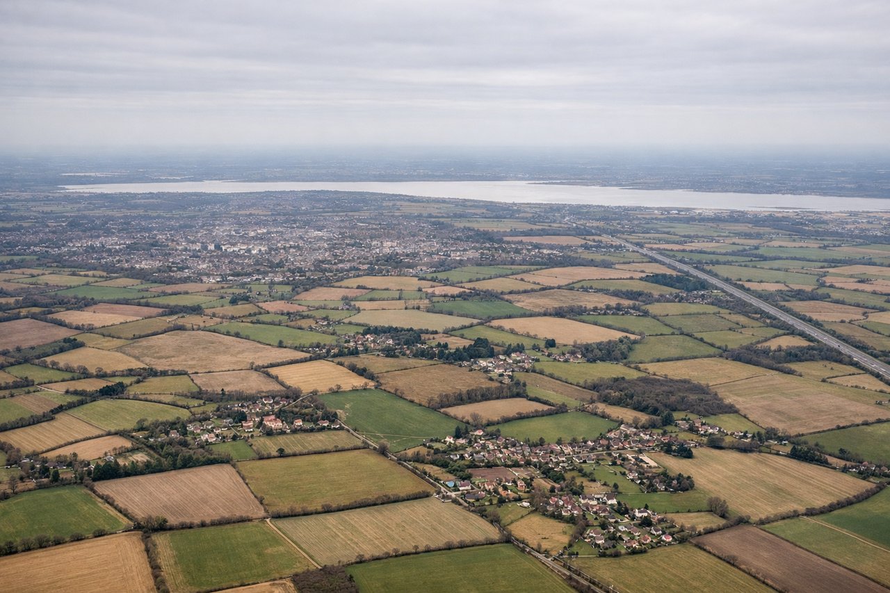
Landing at STN
LEFTLeft side provides views of the Essex countryside and the approach path over the Thames estuary and surrounding flatlands. As the aircraft descends toward Stansted from the southwest, the left side reveals the gradual transition from rural Essex to the airport's location.
Will your flight be in sunlight?
Pick a date and time in the Sun Map to watch the sun move across your whole flight.
About This Route
Which side of the plane should I sit on flying from Nurnberg (NUE) to Stansted (STN)?
Sit on the Right side of the plane for the best views on flights from Nuernberg to London. The right side captures the most visually distinctive geography: the Franconian landscape during departure and the gradual transition across central England's varied terrain during cruise. While the left side offers estuary views on approach, the right side provides more consistent scenic interest across the entire flight.
What can I see during takeoff from Nurnberg in Nuernberg?
During takeoff from Nurnberg (NUE), sit on the Right side for the best views. Right side offers views of the Franconian landscape and the Pegnitz River valley as the aircraft climbs northwestward. The terrain rolling away to the right provides better perspective on the region's topography during the initial climb-out. Notable sights include: Pegnitz River (visible as a winding waterway below), Nuremberg city sprawl (receding behind), Franconian hills and forests (rolling terrain to the right and ahead).
What can I see when landing at Stansted in London?
When landing at Stansted (STN), sit on the Left side for the best views. Left side provides views of the Essex countryside and the approach path over the Thames estuary and surrounding flatlands. As the aircraft descends toward Stansted from the southwest, the left side reveals the gradual transition from rural Essex to the airport's location. Notable sights include: Thames Estuary (broad water body to the left during descent), Essex agricultural plains (flat, patchwork fields), Stansted Airport infrastructure (visible in final approach), North Sea coast (distant on horizon to the northeast).
How long is the flight from Nuernberg to London?
The flight from Nurnberg (NUE) to Stansted (STN) takes about 2 hours 15 minutes. The shortest flight path between them is 502 miles (808 km); winds and air traffic control usually add a few percent.
What does the Nuernberg to London flight path pass over?
The flight path crosses the North Sea or travels over the English Midlands depending on routing. Notable features include: the Rhine-Main region (if visible during initial climb), the Cotswolds and Midlands plateau (rolling terrain with scattered towns), and the transition from central England's agricultural zones to the flatter Essex and East Anglian plains approaching Stansted. The English Channel or North Sea crossing (if applicable) would show coastal features and open water.