The right side delivers mountain views on both ends of the flight — the San Gabriel/San Bernardino ranges at takeoff and the Rocky Mountain Front Range on arrival — plus a possible glimpse of the Grand Canyon region during cruise, while the left side offers mostly flat desert and plains.
Flown ONT to DEN? Did we get it right?
Flight Path
Ontario to Denver is 817 miles (1,316 km), a flight of about 2 hours.
Mojave Desert, Colorado River corridor near the Arizona-Utah border, the Colorado Plateau, and the southern rim of the Grand Canyon region passing just south of the flight path
Great circle distance and headings ›


Phase by phase
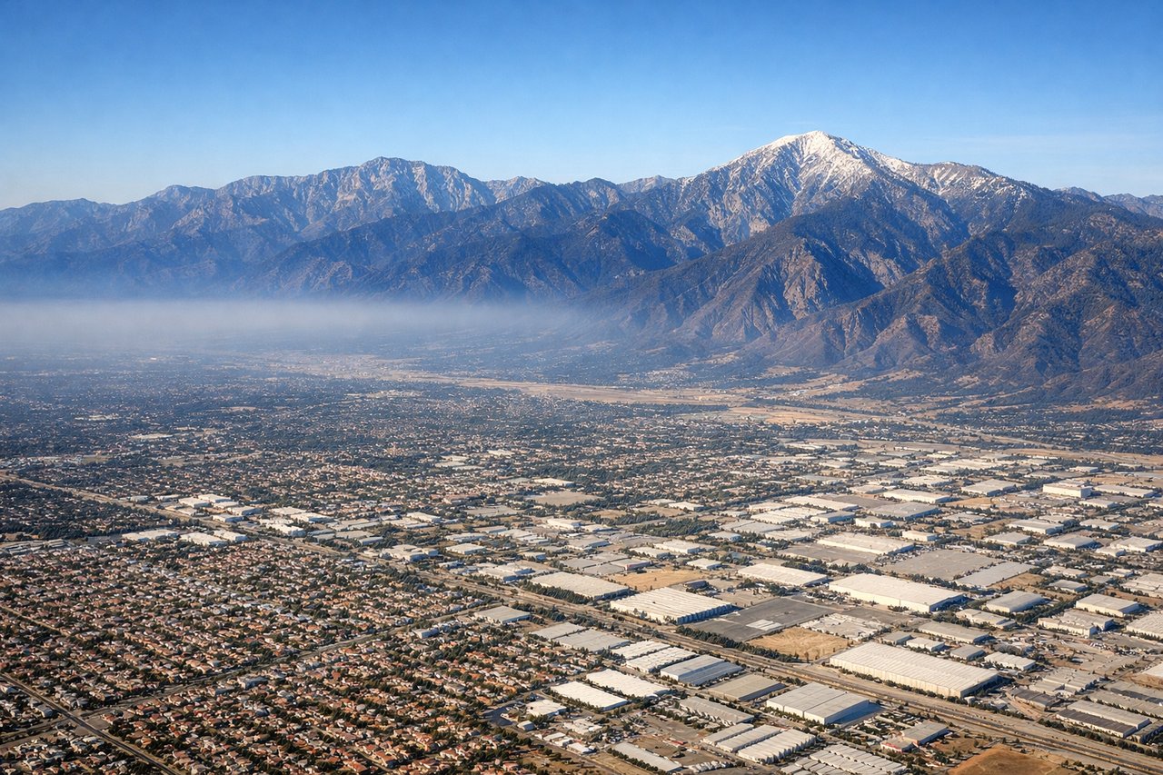
Takeoff from ONT
RIGHTONT's westerly departure puts the San Gabriel and San Bernardino Mountains directly off the right side as the aircraft climbs, with Mt. Baldy's peak visible before the turn toward Denver. The left side only shows the flatter Chino Hills and Orange County basin.
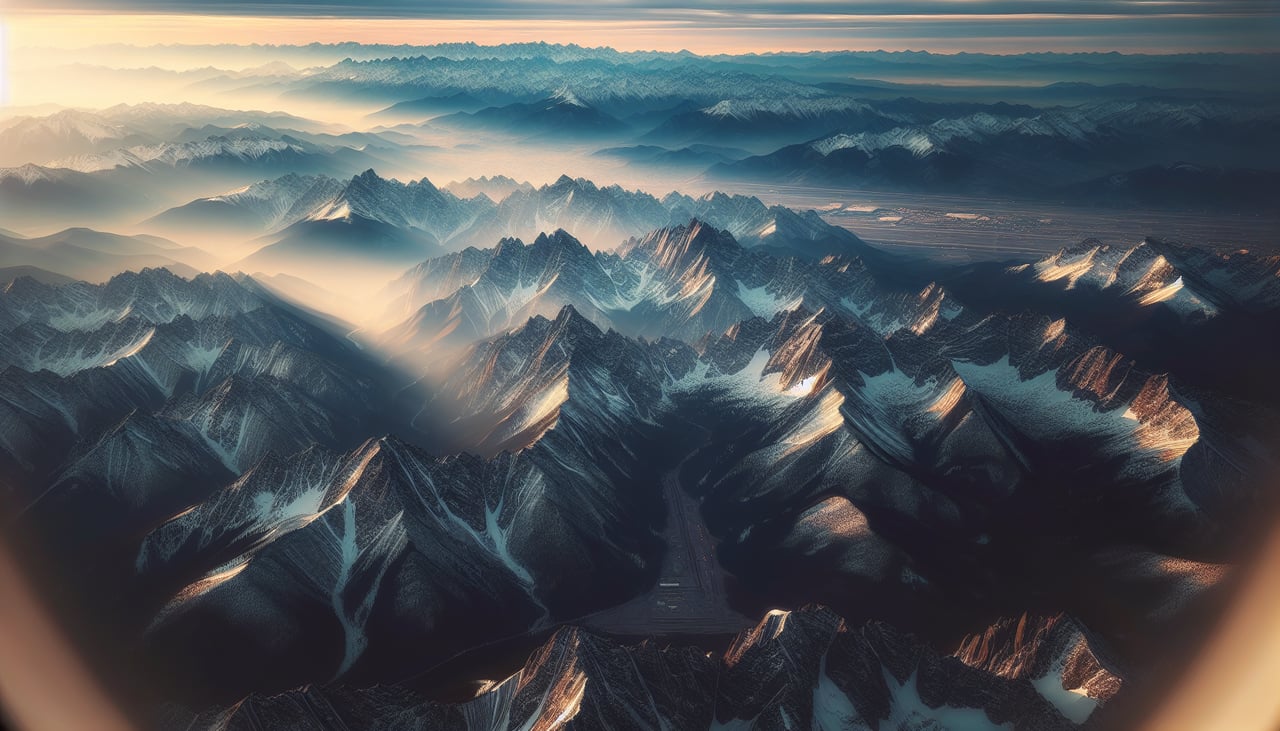
Landing at DEN
RIGHTArrivals into DEN from the north typically descend southward toward the 17-series runways, putting the Front Range of the Rockies off the right side of the aircraft. Passengers get a clear view of the foothills and snow-capped peaks like Longs Peak before the flat plains of the airport itself.
Will your flight be in sunlight?
Pick a date and time in the Sun Map to watch the sun move across your whole flight.
About This Route
Which side of the plane should I sit on flying from Ontario International (ONT) to Denver International (DEN)?
Sit on the Right side of the plane for the best views on flights from Ontario to Denver. The right side delivers mountain views on both ends of the flight — the San Gabriel/San Bernardino ranges at takeoff and the Rocky Mountain Front Range on arrival — plus a possible glimpse of the Grand Canyon region during cruise, while the left side offers mostly flat desert and plains.
What can I see during takeoff from Ontario International in Ontario?
During takeoff from Ontario International (ONT), sit on the Right side for the best views. ONT's westerly departure puts the San Gabriel and San Bernardino Mountains directly off the right side as the aircraft climbs, with Mt. Baldy's peak visible before the turn toward Denver. The left side only shows the flatter Chino Hills and Orange County basin. Notable sights include: San Gabriel Mountains, San Bernardino Mountains, Mt. Baldy, Inland Empire valley floor.
What can I see when landing at Denver International in Denver?
When landing at Denver International (DEN), sit on the Right side for the best views. Arrivals into DEN from the north typically descend southward toward the 17-series runways, putting the Front Range of the Rockies off the right side of the aircraft. Passengers get a clear view of the foothills and snow-capped peaks like Longs Peak before the flat plains of the airport itself. Notable sights include: Front Range foothills, Longs Peak, Rocky Mountain high plains, Denver metro skyline.
How long is the flight from Ontario to Denver?
The flight from Ontario International (ONT) to Denver International (DEN) takes about 2 hours. The shortest flight path between them is 817 miles (1,316 km); winds and air traffic control usually add a few percent.
What does the Ontario to Denver flight path pass over?
Mojave Desert, Colorado River corridor near the Arizona-Utah border, the Colorado Plateau, and the southern rim of the Grand Canyon region passing just south of the flight path