Left side edges ahead due to superior takeoff scenery—Chicago's recognizable skyline and Lake Michigan provide genuine urban and water features that outweigh the modest landing advantage on the right. Both sides score equally low overall because this is a short, flat-terrain route with minimal dramatic geography; the Midwest plains dominate the cruise segment regardless of side.
Flown ORD to COU? Did we get it right?
Flight Path
Chicago to Columbia is 315 miles (507 km), a flight of about 1 hour 15 minutes.
Illinois farmland, scattered lakes and ponds, transition from Chicago metropolitan area to central Illinois prairie, occasional small towns and county roads visible as grid patterns
Great circle distance and headings ›

Phase by phase
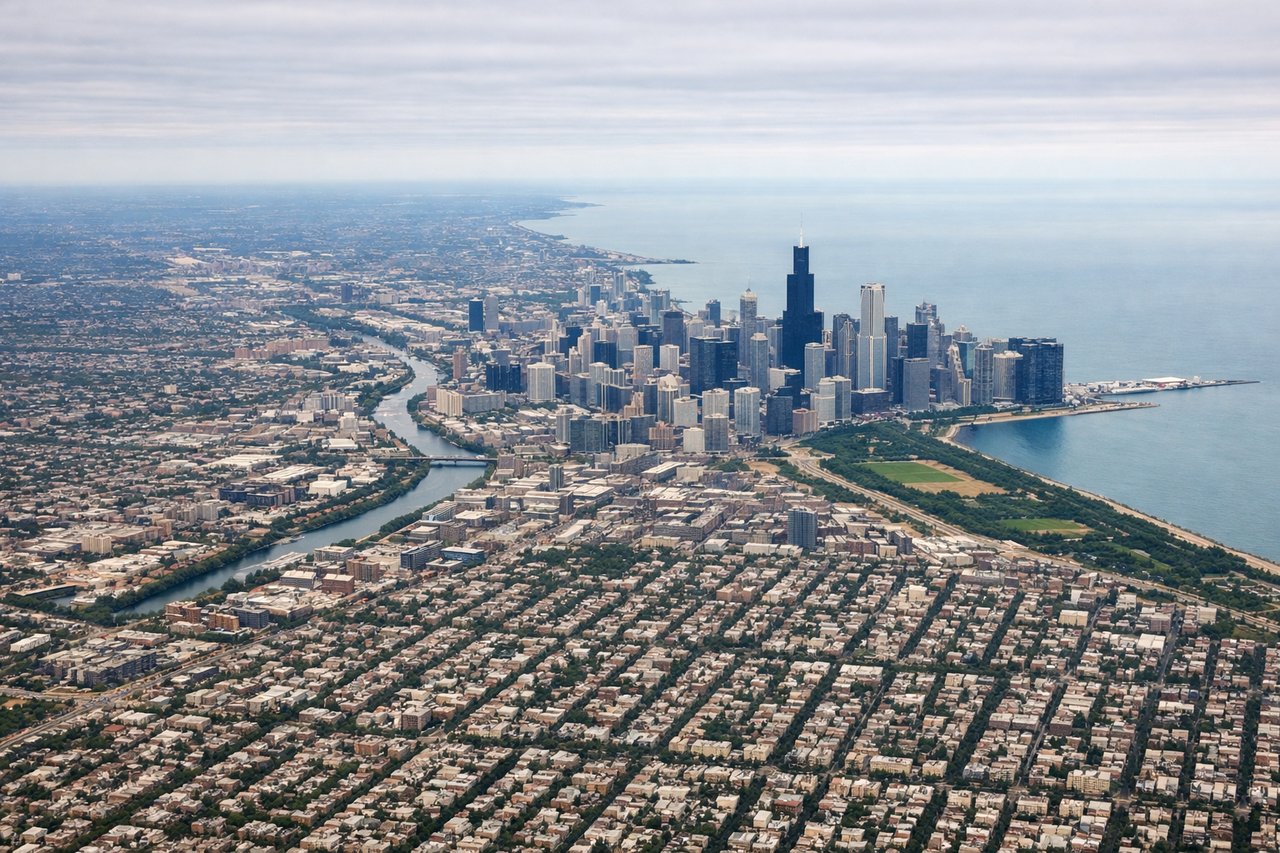
Takeoff from ORD
LEFTLeft side captures Chicago's urban skyline and Lake Michigan waterfront during departure, providing brief but recognizable city scenery. Right side offers only flat suburban sprawl with minimal visual interest.
Landing at COU
RIGHTRight side provides approach views of the Missouri River valley and rolling terrain around Columbia, offering more topographic variation than the flat farmland on the left. The river and landscape changes create modest visual interest during descent.
Will your flight be in sunlight?
Pick a date and time in the Sun Map to watch the sun move across your whole flight.
About This Route
Which side of the plane should I sit on flying from Chicago Ohare International (ORD) to Columbia Rgnl (COU)?
Sit on the Left side of the plane for the best views on flights from Chicago to Columbia. Left side edges ahead due to superior takeoff scenery—Chicago's recognizable skyline and Lake Michigan provide genuine urban and water features that outweigh the modest landing advantage on the right. Both sides score equally low overall because this is a short, flat-terrain route with minimal dramatic geography; the Midwest plains dominate the cruise segment regardless of side.
What can I see during takeoff from Chicago Ohare International in Chicago?
During takeoff from Chicago Ohare International (ORD), sit on the Left side for the best views. Left side captures Chicago's urban skyline and Lake Michigan waterfront during departure, providing brief but recognizable city scenery. Right side offers only flat suburban sprawl with minimal visual interest. Notable sights include: Lake Michigan shoreline, Chicago downtown skyline, O'Hare runway complex.
What can I see when landing at Columbia Rgnl in Columbia?
When landing at Columbia Rgnl (COU), sit on the Right side for the best views. Right side provides approach views of the Missouri River valley and rolling terrain around Columbia, offering more topographic variation than the flat farmland on the left. The river and landscape changes create modest visual interest during descent. Notable sights include: Missouri River, Columbia city grid, Boone County rolling terrain.
How long is the flight from Chicago to Columbia?
The flight from Chicago Ohare International (ORD) to Columbia Rgnl (COU) takes about 1 hour 15 minutes. The shortest flight path between them is 315 miles (507 km); winds and air traffic control usually add a few percent.
What does the Chicago to Columbia flight path pass over?
Illinois farmland, scattered lakes and ponds, transition from Chicago metropolitan area to central Illinois prairie, occasional small towns and county roads visible as grid patterns