Right side scores 3.5 vs left's 2.5 due to superior scenic variety across the full flight. Takeoff features the Panama Canal and Caribbean coastline; cruise crosses Central America's mountainous terrain and Caribbean waters; landing showcases Puget Sound's island-studded waters and the Cascade Range. Left side offers only jungle, open ocean, and suburban flatland.
Flown PAC to SEA? Did we get it right?
Flight Path
Panama City to Seattle is 3,644 miles (5,865 km), a flight of about 7 hours 25 minutes.
Caribbean Sea crossing, Central American coastline (Honduras/Belize), Yucatan Peninsula, Gulf of Mexico, Texas coast, Great Plains, Rocky Mountains (distant southern view), Pacific Northwest coastal ranges
Great circle distance and headings ›Phase by phase
Takeoff from PAC
RIGHTRight side captures Panama City's urban waterfront and the Panama Canal approach during northbound departure. Left side faces inland jungle with minimal visual interest during climb-out.
Landing at SEA
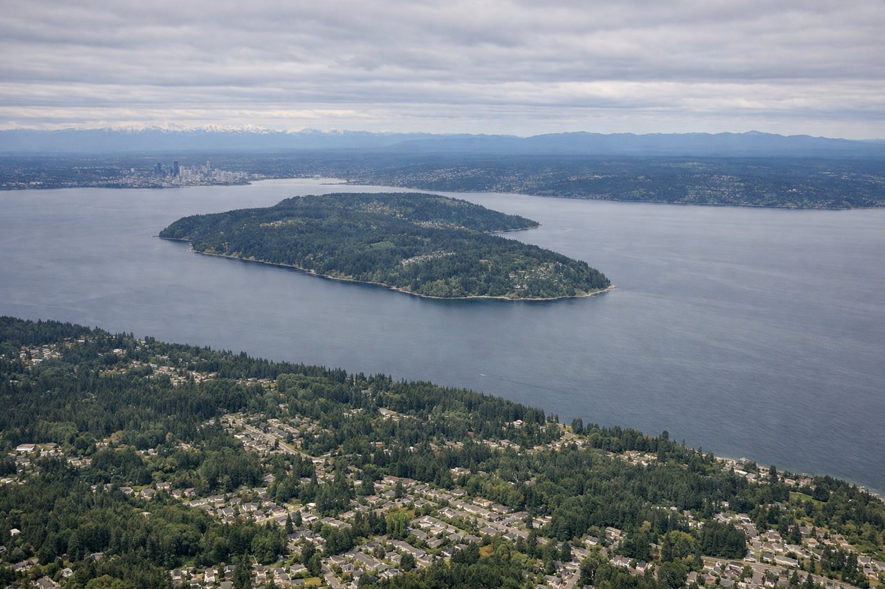
RIGHTRight side offers superior approach scenery: Puget Sound's dramatic water and island geography, the Cascade Range peaks on the eastern horizon, and Seattle's urban waterfront during final descent. Left side shows only flat suburban sprawl and open water.
Will your flight be in sunlight?
Pick a date and time in the Sun Map to watch the sun move across your whole flight.
About This Route
Which side of the plane should I sit on flying from Marcos A Gelabert International (PAC) to Seattle Tacoma International (SEA)?
Sit on the Right side of the plane for the best views on flights from Panama City to Seattle. Right side scores 3.5 vs left's 2.5 due to superior scenic variety across the full flight. Takeoff features the Panama Canal and Caribbean coastline; cruise crosses Central America's mountainous terrain and Caribbean waters; landing showcases Puget Sound's island-studded waters and the Cascade Range. Left side offers only jungle, open ocean, and suburban flatland.
What can I see during takeoff from Marcos A Gelabert International in Panama City?
During takeoff from Marcos A Gelabert International (PAC), sit on the Right side for the best views. Right side captures Panama City's urban waterfront and the Panama Canal approach during northbound departure. Left side faces inland jungle with minimal visual interest during climb-out. Notable sights include: Panama Canal locks and Gatun Lake, Panama City skyline and bay, Caribbean coastline to the north.
What can I see when landing at Seattle Tacoma International in Seattle?
When landing at Seattle Tacoma International (SEA), sit on the Right side for the best views. Right side offers superior approach scenery: Puget Sound's dramatic water and island geography, the Cascade Range peaks on the eastern horizon, and Seattle's urban waterfront during final descent. Left side shows only flat suburban sprawl and open water. Notable sights include: Puget Sound with San Juan Islands, Cascade Range peaks (Mount Rainier visible on clear days), Seattle waterfront and Elliott Bay.
How long is the flight from Panama City to Seattle?
The flight from Marcos A Gelabert International (PAC) to Seattle Tacoma International (SEA) takes about 7 hours 25 minutes. The shortest flight path between them is 3,644 miles (5,865 km); winds and air traffic control usually add a few percent.
What does the Panama City to Seattle flight path pass over?
Caribbean Sea crossing, Central American coastline (Honduras/Belize), Yucatan Peninsula, Gulf of Mexico, Texas coast, Great Plains, Rocky Mountains (distant southern view), Pacific Northwest coastal ranges