The right side offers more sustained terrain interest through takeoff and cruise, with the Superstition Mountains, White Sands basin, and Guadalupe Mountains passing beneath the flight path, while the left side is mostly flat plains until the Atlanta skyline appears late in the descent.
Flight Path
White Sands National Park and the Sacramento and Guadalupe Mountains of southern New Mexico, followed by the flat plains of west Texas and the Mississippi River crossing near the Louisiana-Mississippi border
Great circle distance and headings ›.jpg?width=600)

.jpeg?width=600)
Phase by phase
Takeoff from PHX
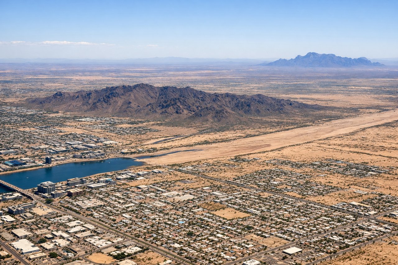
RIGHTDeparting PHX to the east, the south-facing side gives a good look at South Mountain Park just past the runway threshold, and as the aircraft climbs the jagged Superstition Mountains and Sonoran desert ridgelines stay visible off that side before the route flattens out over New Mexico.

Landing at ATL
LEFTOn the descent into ATL from the west, arrivals typically line up with downtown Atlanta's skyline sitting just north of the final approach path, giving left-side passengers a clear view of the city towers and surrounding green Piedmont forest before touchdown.
Landmarks on this routeAll landmarks →
Will your flight be in sunlight?
See exactly which side of the plane gets sun and shade at your departure time.
About This Route
Which side of the plane should I sit on flying from Phoenix Sky Harbor International (PHX) to The William B Hartsfield Atlanta International (ATL)?
Sit on the Right side of the plane for the best views on flights from Phoenix to Atlanta. The right side offers more sustained terrain interest through takeoff and cruise, with the Superstition Mountains, White Sands basin, and Guadalupe Mountains passing beneath the flight path, while the left side is mostly flat plains until the Atlanta skyline appears late in the descent.
What can I see during takeoff from Phoenix Sky Harbor International in Phoenix?
During takeoff from Phoenix Sky Harbor International (PHX), sit on the Right side for the best views. Departing PHX to the east, the south-facing side gives a good look at South Mountain Park just past the runway threshold, and as the aircraft climbs the jagged Superstition Mountains and Sonoran desert ridgelines stay visible off that side before the route flattens out over New Mexico. Notable sights include: South Mountain Park, Superstition Mountains, Salt River Valley desert terrain.
What can I see when landing at The William B Hartsfield Atlanta International in Atlanta?
When landing at The William B Hartsfield Atlanta International (ATL), sit on the Left side for the best views. On the descent into ATL from the west, arrivals typically line up with downtown Atlanta's skyline sitting just north of the final approach path, giving left-side passengers a clear view of the city towers and surrounding green Piedmont forest before touchdown. Notable sights include: Atlanta downtown skyline, Chattahoochee River, Piedmont forest canopy.
How long is the flight from Phoenix to Atlanta?
The flight from Phoenix Sky Harbor International (PHX) to The William B Hartsfield Atlanta International (ATL) takes 3h 25m.
What does the Phoenix to Atlanta flight path pass over?
White Sands National Park and the Sacramento and Guadalupe Mountains of southern New Mexico, followed by the flat plains of west Texas and the Mississippi River crossing near the Louisiana-Mississippi border