The left side combines the dramatic South Mountain backdrop at takeoff with the Salton Sea, San Jacinto Peak, and a varied LA basin/coastline arrival, giving it more diversity of desert, water, mountain, and urban scenery than the right side's more limited mountain-only views.
Flight Path
Sonoran Desert lowlands, the Colorado River near Blythe, the Mojave Desert fringe, and the San Gorgonio Pass between the San Jacinto and San Bernardino Mountains
Great circle distance and headings ›Phase by phase
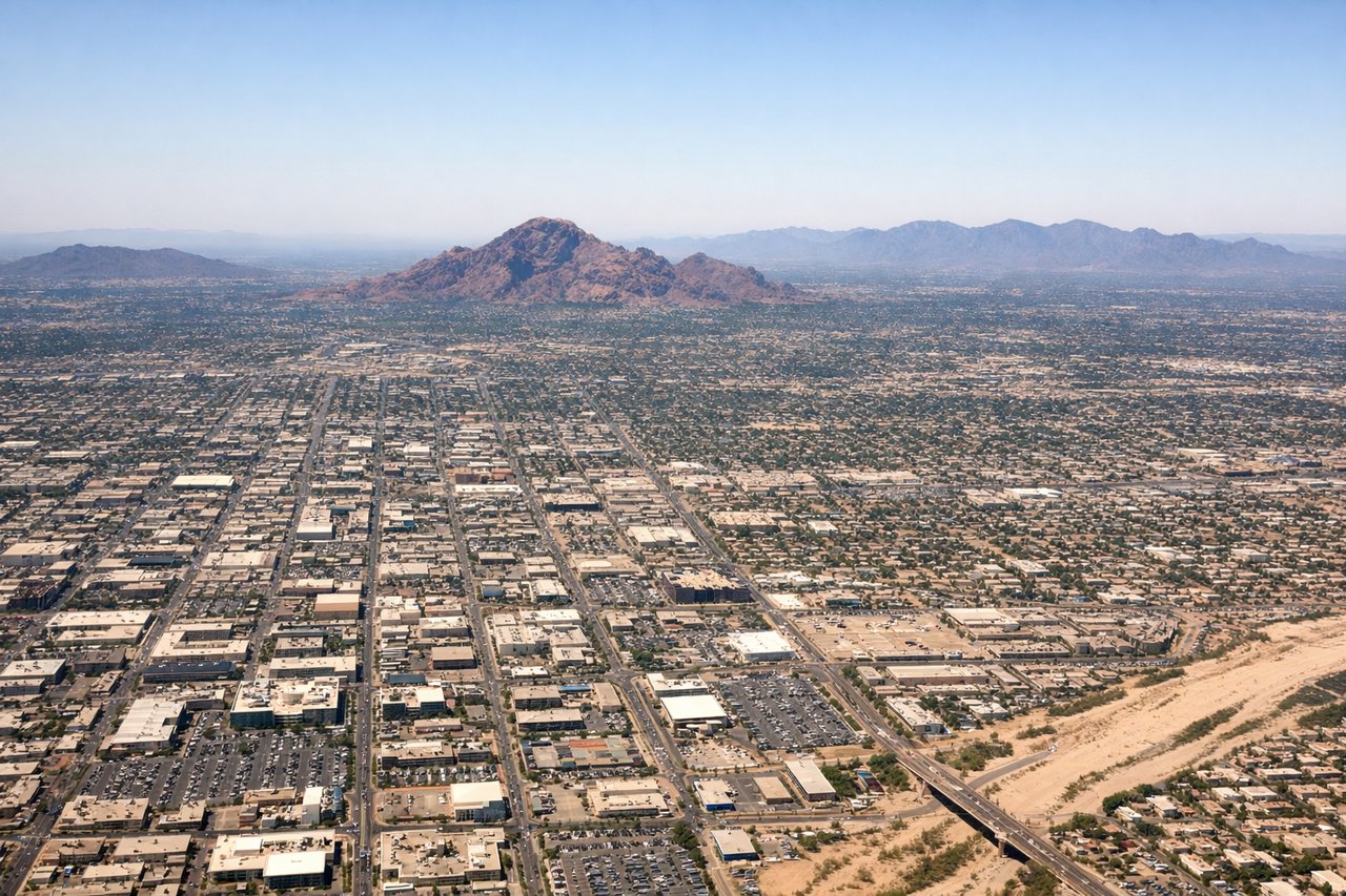
Takeoff from PHX
LEFTDeparting Sky Harbor to the west, the left side looks south across South Mountain Park's rugged ridgeline rising directly out of the Phoenix suburbs, with the Estrella Mountains visible further southwest. The right side mainly shows flat desert basin and distant McDowell foothills, which are less prominent from this departure heading.

Landing at LAX
LEFTOn the typical east-to-west approach into LAX, the left side faces south over the Los Angeles basin, revealing the downtown LA skyline, the Palos Verdes Peninsula, and glimpses of the Pacific Ocean as the aircraft lines up for landing. The right side shows the San Gabriel Mountains, which are scenic but offer less variety than the mix of skyline, peninsula, and ocean on the left.
Landmarks on this routeAll landmarks →
Will your flight be in sunlight?
See exactly which side of the plane gets sun and shade at your departure time.
About This Route
Which side of the plane should I sit on flying from Phoenix Sky Harbor International (PHX) to Los Angeles International (LAX)?
Sit on the Left side of the plane for the best views on flights from Phoenix to Los Angeles. The left side combines the dramatic South Mountain backdrop at takeoff with the Salton Sea, San Jacinto Peak, and a varied LA basin/coastline arrival, giving it more diversity of desert, water, mountain, and urban scenery than the right side's more limited mountain-only views.
What can I see during takeoff from Phoenix Sky Harbor International in Phoenix?
During takeoff from Phoenix Sky Harbor International (PHX), sit on the Left side for the best views. Departing Sky Harbor to the west, the left side looks south across South Mountain Park's rugged ridgeline rising directly out of the Phoenix suburbs, with the Estrella Mountains visible further southwest. The right side mainly shows flat desert basin and distant McDowell foothills, which are less prominent from this departure heading. Notable sights include: South Mountain Park, Phoenix South Mountains preserve, Estrella Mountains, Sonoran Desert basin.
What can I see when landing at Los Angeles International in Los Angeles?
When landing at Los Angeles International (LAX), sit on the Left side for the best views. On the typical east-to-west approach into LAX, the left side faces south over the Los Angeles basin, revealing the downtown LA skyline, the Palos Verdes Peninsula, and glimpses of the Pacific Ocean as the aircraft lines up for landing. The right side shows the San Gabriel Mountains, which are scenic but offer less variety than the mix of skyline, peninsula, and ocean on the left. Notable sights include: Downtown Los Angeles skyline, Palos Verdes Peninsula, Pacific Ocean coastline, Los Angeles basin sprawl.
How long is the flight from Phoenix to Los Angeles?
The flight from Phoenix Sky Harbor International (PHX) to Los Angeles International (LAX) takes 1h 35m.
What does the Phoenix to Los Angeles flight path pass over?
Sonoran Desert lowlands, the Colorado River near Blythe, the Mojave Desert fringe, and the San Gorgonio Pass between the San Jacinto and San Bernardino Mountains