The right side captures the Western Ghats during departure and provides better views of the Deccan Plateau transition. While landing favors the left for Himalayan foothills, the takeoff scenery is more visually dramatic and sustained.
Flown PNQ to IXB? Did we get it right?
Flight Path
Pune to Baghdogra is 1,075 miles (1,729 km), a flight of about 2 hours 15 minutes.
Godavari River basin, Ahmednagar district plains, transition from Deccan Plateau to central Indian terrain, Nagpur region, Chhattisgarh plateau, Jharkhand uplands, gradual elevation gain toward Bengal basin and Himalayan foothills
Great circle distance and headings ›Phase by phase
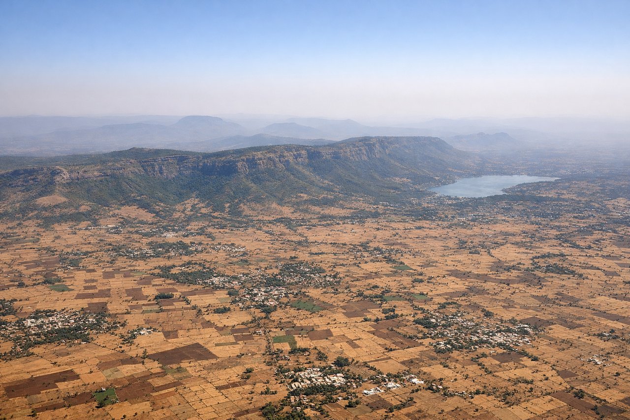
Takeoff from PNQ
RIGHTClimbing northeast from Pune, the right side offers views of the Western Ghats escarpment and the Deccan Plateau terrain. The left side faces inland plateau with less dramatic relief.
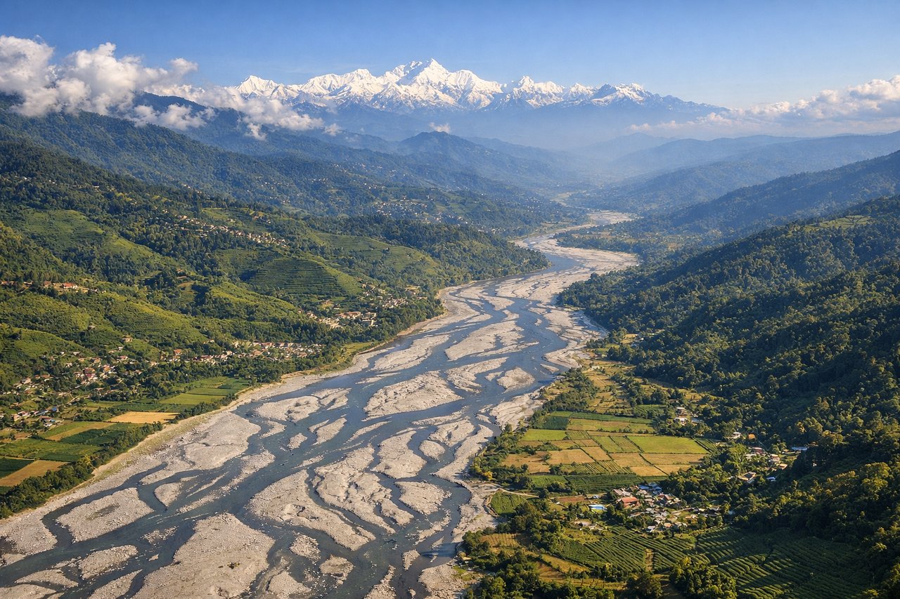
Landing at IXB
LEFTDescending into Bagdogra from the southwest, the left side provides views of the Teesta River valley and the foothills of the Eastern Himalayas. The right side faces the plains with less topographic interest.
Will your flight be in sunlight?
Pick a date and time in the Sun Map to watch the sun move across your whole flight.
About This Route
Which side of the plane should I sit on flying from Pune (PNQ) to Bagdogra (IXB)?
Sit on the Right side of the plane for the best views on flights from Pune to Baghdogra. The right side captures the Western Ghats during departure and provides better views of the Deccan Plateau transition. While landing favors the left for Himalayan foothills, the takeoff scenery is more visually dramatic and sustained.
What can I see during takeoff from Pune in Pune?
During takeoff from Pune (PNQ), sit on the Right side for the best views. Climbing northeast from Pune, the right side offers views of the Western Ghats escarpment and the Deccan Plateau terrain. The left side faces inland plateau with less dramatic relief. Notable sights include: Western Ghats mountain range, Mula-Mutha River valley, Pune city grid, Deccan Plateau edge.
What can I see when landing at Bagdogra in Baghdogra?
When landing at Bagdogra (IXB), sit on the Left side for the best views. Descending into Bagdogra from the southwest, the left side provides views of the Teesta River valley and the foothills of the Eastern Himalayas. The right side faces the plains with less topographic interest. Notable sights include: Eastern Himalayan foothills, Teesta River valley, Darjeeling district terrain, Siliguri plains.
How long is the flight from Pune to Baghdogra?
The flight from Pune (PNQ) to Bagdogra (IXB) takes about 2 hours 15 minutes. The shortest flight path between them is 1,075 miles (1,729 km); winds and air traffic control usually add a few percent.
What does the Pune to Baghdogra flight path pass over?
Godavari River basin, Ahmednagar district plains, transition from Deccan Plateau to central Indian terrain, Nagpur region, Chhattisgarh plateau, Jharkhand uplands, gradual elevation gain toward Bengal basin and Himalayan foothills