Panama City to Tegucigalpa is 632 miles (1,018 km), a flight of about 2 hours.
Right-side seats offer better views on both legs: the Caribbean watershed and Chagres River during departure, and the approach to Tegucigalpa's mountain valley during descent. The flight path northwestward means right-side views capture the most dramatic terrain transitions.
Flight Path
The flight crosses the Caribbean coastal lowlands of Panama and Costa Rica, then transitions into the mountainous terrain of Honduras. You'll pass over the Mosquitia region's wetlands and forests, the Caribbean coast near Limón (Costa Rica), and the transition zone where Central American highlands begin. The Cordillera Central of Honduras becomes visible as you approach Tegucigalpa from the south.
Great circle distance and headings ›Phase by phase
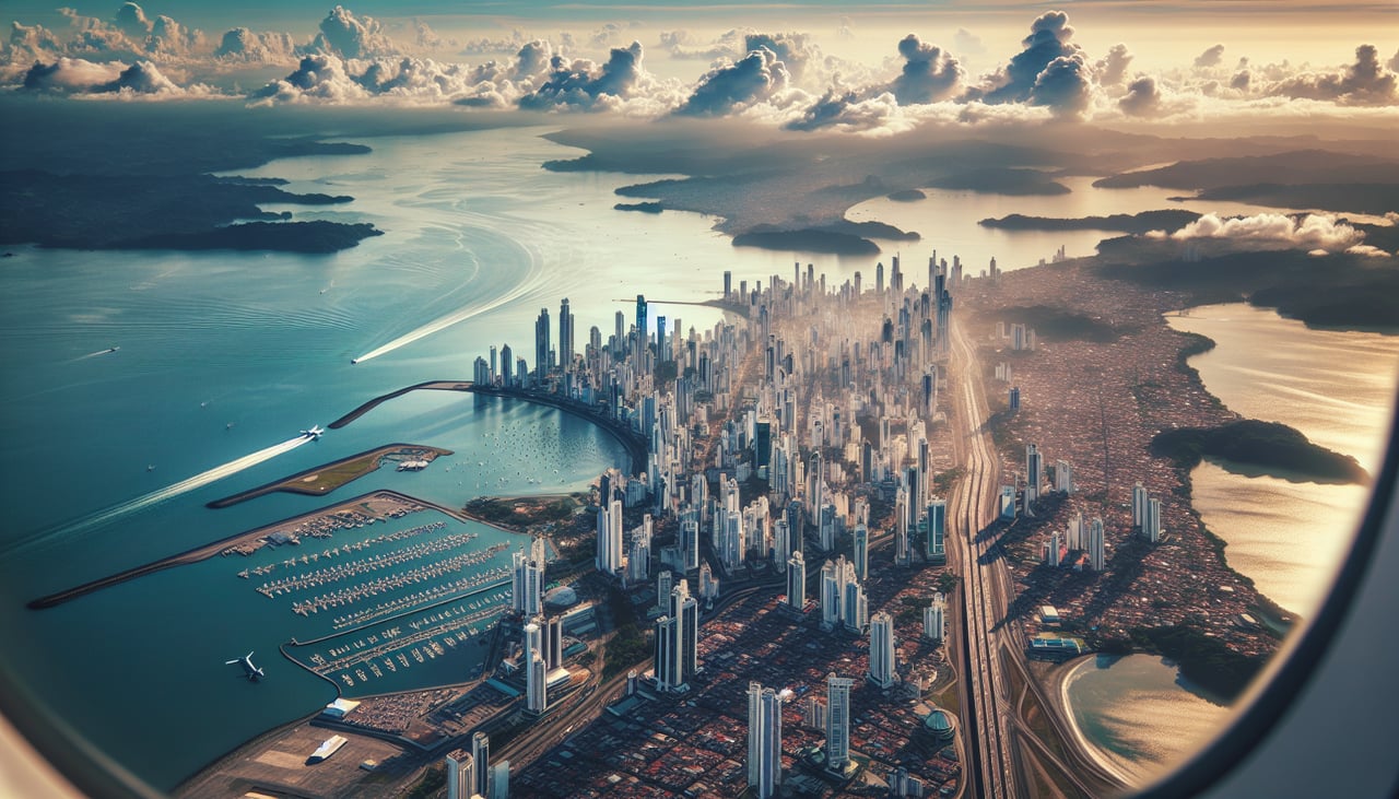
Takeoff from PTY
RIGHTTocumen typically departs eastbound (Runway 03R/03L). Right-side seats face north toward the Caribbean coast and the Panama Canal watershed. You'll see the Chagres River valley and forested terrain of central Panama stretching toward Colón.
Landing at TGU
LEFTToncontin approaches from the south or southeast (Runway 02 or 20 depending on conditions). Left-side seats during descent face west and northwest toward the Tegucigalpa valley and surrounding mountains. You'll see the city nestled in the mountain basin and the Sierra de Comayagua ridge system.
Landmarks on this routeAll landmarks →
Will your flight be in sunlight?
Pick a date and time in the Sun Map to watch the sun move across your whole flight.
About This Route
Which side of the plane should I sit on flying from Tocumen International (PTY) to Toncontin International (TGU)?
Sit on the Right side of the plane for the best views on flights from Panama City to Tegucigalpa. Right-side seats offer better views on both legs: the Caribbean watershed and Chagres River during departure, and the approach to Tegucigalpa's mountain valley during descent. The flight path northwestward means right-side views capture the most dramatic terrain transitions.
What can I see during takeoff from Tocumen International in Panama City?
During takeoff from Tocumen International (PTY), sit on the Right side for the best views. Tocumen typically departs eastbound (Runway 03R/03L). Right-side seats face north toward the Caribbean coast and the Panama Canal watershed. You'll see the Chagres River valley and forested terrain of central Panama stretching toward Colón. Notable sights include: Chagres River valley, Panama Canal watershed forests, Caribbean coastal plain to the north, Darién Gap jungle to the southeast.
What can I see when landing at Toncontin International in Tegucigalpa?
When landing at Toncontin International (TGU), sit on the Left side for the best views. Toncontin approaches from the south or southeast (Runway 02 or 20 depending on conditions). Left-side seats during descent face west and northwest toward the Tegucigalpa valley and surrounding mountains. You'll see the city nestled in the mountain basin and the Sierra de Comayagua ridge system. Notable sights include: Sierra de Comayagua mountain range, Tegucigalpa urban valley, Río Grande (Patuca) drainage system, surrounding pine and cloud forest ridges.
How long is the flight from Panama City to Tegucigalpa?
The flight from Tocumen International (PTY) to Toncontin International (TGU) takes about 2 hours. The shortest flight path between them is 632 miles (1,018 km); winds and air traffic control usually add a few percent.
What does the Panama City to Tegucigalpa flight path pass over?
The flight crosses the Caribbean coastal lowlands of Panama and Costa Rica, then transitions into the mountainous terrain of Honduras. You'll pass over the Mosquitia region's wetlands and forests, the Caribbean coast near Limón (Costa Rica), and the transition zone where Central American highlands begin. The Cordillera Central of Honduras becomes visible as you approach Tegucigalpa from the south.