Tegucigalpa to Panama City is 632 miles (1,018 km), a flight of about 2 hours.
While takeoff from Tegucigalpa favors the right, the landing approach into Panama City—where you'll see the Panama Canal, Gatun Lake, and the city itself—is the more memorable segment. Left seats capture the defining geography of the entire route's destination.
Flight Path
The flight path crosses from the Honduran highlands southeastward over the Caribbean coastal plains and into the Darién region. You'll pass over progressively lower terrain—the mountains of Honduras give way to the flatter, heavily forested Mosquitia region and then the Darién Gap's dense jungle. The Caribbean Sea lies to the north throughout much of the flight. The terrain transitions from highland valleys to tropical lowland forest, with the Chagres River system becoming visible in the final approach phase as you near the Panama Canal zone.
Great circle distance and headings ›Phase by phase
Takeoff from TGU
RIGHTToncontin typically departs runway 05 (northeast) or 23 (southwest). Right-side seats offer the best view of the surrounding mountain valleys and the initial climb over the Tegucigalpa basin. You'll see the terrain that makes this airport challenging—steep valleys and ridges that define the approach corridor.
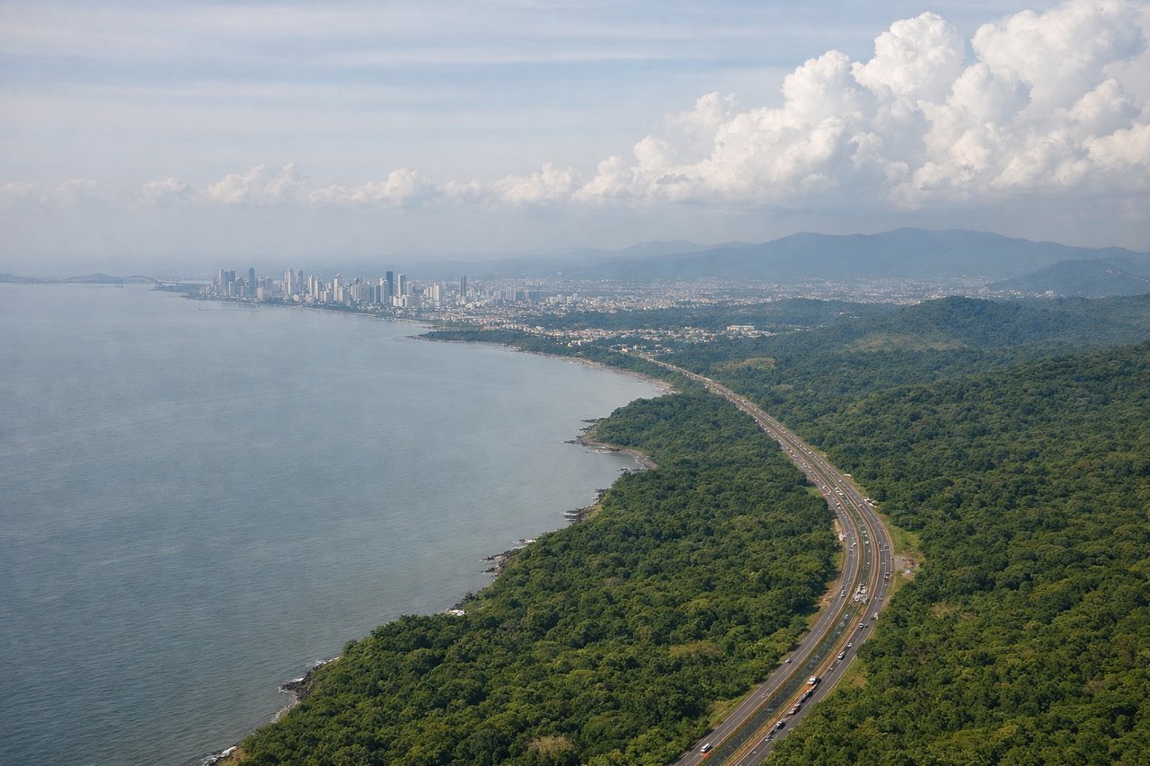
Landing at PTY
LEFTApproaching Tocumen typically uses runway 03 (northeast) or 21 (southwest). Left-side seats provide excellent views of the Panama Canal approach corridor, the Gatun Lake system, and the Chagres River valley—the defining geography of Panama City's location. The descent path often follows the canal's general orientation.
Landmarks on this routeAll landmarks →
Will your flight be in sunlight?
Pick a date and time in the Sun Map to watch the sun move across your whole flight.
About This Route
Which side of the plane should I sit on flying from Toncontin International (TGU) to Tocumen International (PTY)?
Sit on the Left side of the plane for the best views on flights from Tegucigalpa to Panama City. While takeoff from Tegucigalpa favors the right, the landing approach into Panama City—where you'll see the Panama Canal, Gatun Lake, and the city itself—is the more memorable segment. Left seats capture the defining geography of the entire route's destination.
What can I see during takeoff from Toncontin International in Tegucigalpa?
During takeoff from Toncontin International (TGU), sit on the Right side for the best views. Toncontin typically departs runway 05 (northeast) or 23 (southwest). Right-side seats offer the best view of the surrounding mountain valleys and the initial climb over the Tegucigalpa basin. You'll see the terrain that makes this airport challenging—steep valleys and ridges that define the approach corridor. Notable sights include: Cerro de Hula (mountain ridge east of airport), Tegucigalpa city sprawl in the valley floor, Rio Choluteca valley system, surrounding limestone ridges of the Honduran highlands.
What can I see when landing at Tocumen International in Panama City?
When landing at Tocumen International (PTY), sit on the Left side for the best views. Approaching Tocumen typically uses runway 03 (northeast) or 21 (southwest). Left-side seats provide excellent views of the Panama Canal approach corridor, the Gatun Lake system, and the Chagres River valley—the defining geography of Panama City's location. The descent path often follows the canal's general orientation. Notable sights include: Gatun Lake (massive artificial reservoir), Chagres River valley, Panama Canal locks approach corridor, Panama City skyline and Casco Viejo district.
How long is the flight from Tegucigalpa to Panama City?
The flight from Toncontin International (TGU) to Tocumen International (PTY) takes about 2 hours. The shortest flight path between them is 632 miles (1,018 km); winds and air traffic control usually add a few percent.
What does the Tegucigalpa to Panama City flight path pass over?
The flight path crosses from the Honduran highlands southeastward over the Caribbean coastal plains and into the Darién region. You'll pass over progressively lower terrain—the mountains of Honduras give way to the flatter, heavily forested Mosquitia region and then the Darién Gap's dense jungle. The Caribbean Sea lies to the north throughout much of the flight. The terrain transitions from highland valleys to tropical lowland forest, with the Chagres River system becoming visible in the final approach phase as you near the Panama Canal zone.