While the Porto Santo departure offers immediate coastal drama, the Frankfurt approach provides significantly more varied terrain—river valleys, forested mountains, and urban landmarks—across a longer visible segment. The right side captures the transition from rural Hessian countryside through the Main Valley to a major European city, offering greater scenic diversity and landmark density than the left side's predominantly oceanic cruise segment.
Flown PXO to FRA? Did we get it right?
Flight Path
Porto Santo to Frankfurt is 1,726 miles (2,777 km), a flight of about 3 hours 15 minutes.
Bay of Biscay (open Atlantic, minimal features), Loire Valley and French countryside (scattered towns, agricultural patterns), Massif Central foothills (distant ridges), Rhine Valley approach with Main River confluence
Great circle distance and headings ›Phase by phase
Takeoff from PXO
LEFTPorto Santo airport sits on a small island with dramatic coastal cliffs and the Atlantic immediately visible during climb-out. The left side captures the rugged northern coastline of Porto Santo and open ocean, providing immediate visual interest.
Landing at FRA
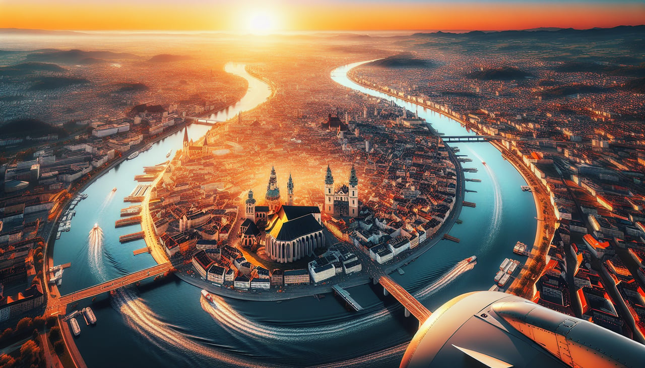
RIGHTThe approach to Frankfurt from the southwest crosses the Rhine Valley and Main River, with the Taunus Mountains visible to the north and the Odenwald to the south. The right side captures these forested ridges and the urban sprawl of the Frankfurt metropolitan area, providing terrain variety and recognizable landmarks absent on the left.
Will your flight be in sunlight?
Pick a date and time in the Sun Map to watch the sun move across your whole flight.
About This Route
Which side of the plane should I sit on flying from Porto Santo (PXO) to Frankfurt Main (FRA)?
Sit on the Right side of the plane for the best views on flights from Porto Santo to Frankfurt. While the Porto Santo departure offers immediate coastal drama, the Frankfurt approach provides significantly more varied terrain—river valleys, forested mountains, and urban landmarks—across a longer visible segment. The right side captures the transition from rural Hessian countryside through the Main Valley to a major European city, offering greater scenic diversity and landmark density than the left side's predominantly oceanic cruise segment.
What can I see during takeoff from Porto Santo in Porto Santo?
During takeoff from Porto Santo (PXO), sit on the Left side for the best views. Porto Santo airport sits on a small island with dramatic coastal cliffs and the Atlantic immediately visible during climb-out. The left side captures the rugged northern coastline of Porto Santo and open ocean, providing immediate visual interest. Notable sights include: Porto Santo island cliffs, Atlantic coastline, Desertas Islands (visible to the south on clear days), open Atlantic horizon.
What can I see when landing at Frankfurt Main in Frankfurt?
When landing at Frankfurt Main (FRA), sit on the Right side for the best views. The approach to Frankfurt from the southwest crosses the Rhine Valley and Main River, with the Taunus Mountains visible to the north and the Odenwald to the south. The right side captures these forested ridges and the urban sprawl of the Frankfurt metropolitan area, providing terrain variety and recognizable landmarks absent on the left. Notable sights include: Taunus Mountains (north), Main River valley, Frankfurt city skyline and Main Tower, Odenwald forest ridge (south).
How long is the flight from Porto Santo to Frankfurt?
The flight from Porto Santo (PXO) to Frankfurt Main (FRA) takes about 3 hours 15 minutes. The shortest flight path between them is 1,726 miles (2,777 km); winds and air traffic control usually add a few percent.
What does the Porto Santo to Frankfurt flight path pass over?
Bay of Biscay (open Atlantic, minimal features), Loire Valley and French countryside (scattered towns, agricultural patterns), Massif Central foothills (distant ridges), Rhine Valley approach with Main River confluence