Durgapur to Delhi is 716 miles (1,152 km), a flight of about 2 hours 5 minutes.
While the takeoff offers industrial and river valley interest on the right, the landing approach on the left provides superior scenic value with the Yamuna River, Delhi Ridge, and the contrast between Old and New Delhi's urban geometry. The left side captures more visually distinctive landmarks across the flight path.
Flight Path
The flight path crosses the Indo-Gangetic Plain from southeast to northwest. Notable features include the Damodar River valley (initial climb), the transition from Chota Nagpur Plateau to the Gangetic Plain (midpoint), scattered agricultural fields and small towns across Uttar Pradesh, and the gradual approach to the Delhi metropolitan region. The Yamuna River becomes visible in the final descent phase. No major mountain ranges are crossed; the terrain is predominantly low-lying plains with gentle elevation changes.
Great circle distance and headings ›Phase by phase
Takeoff from RDP
RIGHTClimbing northwestward from Durgapur, the right side offers views of the Damodar River valley and the industrial landscape of the Durgapur region. The left side faces the Chota Nagpur Plateau interior with less distinctive features during initial climb.
Landing at DEL
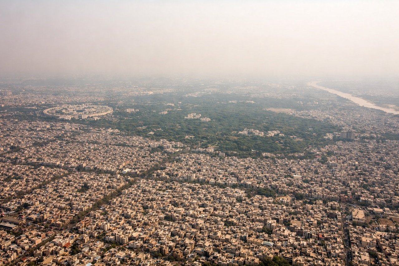
LEFTOn approach to Delhi from the southeast, the left side provides clear views of the Yamuna River as it flows through Delhi, the city's urban sprawl, and the ridge formations. The right side faces the industrial and suburban areas with less scenic distinction.
Will your flight be in sunlight?
Pick a date and time in the Sun Map to watch the sun move across your whole flight.
About This Route
Which side of the plane should I sit on flying from Kazi Nazrul Islam Airport (RDP) to Indira Gandhi International (DEL)?
Sit on the Left side of the plane for the best views on flights from Durgapur to Delhi. While the takeoff offers industrial and river valley interest on the right, the landing approach on the left provides superior scenic value with the Yamuna River, Delhi Ridge, and the contrast between Old and New Delhi's urban geometry. The left side captures more visually distinctive landmarks across the flight path.
What can I see during takeoff from Kazi Nazrul Islam Airport in Durgapur?
During takeoff from Kazi Nazrul Islam Airport (RDP), sit on the Right side for the best views. Climbing northwestward from Durgapur, the right side offers views of the Damodar River valley and the industrial landscape of the Durgapur region. The left side faces the Chota Nagpur Plateau interior with less distinctive features during initial climb. Notable sights include: Damodar River (flowing west below), Durgapur industrial zone, Asansol urban area to the southwest, Chota Nagpur Plateau escarpment.
What can I see when landing at Indira Gandhi International in Delhi?
When landing at Indira Gandhi International (DEL), sit on the Left side for the best views. On approach to Delhi from the southeast, the left side provides clear views of the Yamuna River as it flows through Delhi, the city's urban sprawl, and the ridge formations. The right side faces the industrial and suburban areas with less scenic distinction. Notable sights include: Yamuna River (flowing north through Delhi), Delhi Ridge (Aravalli foothills), Old Delhi and New Delhi urban districts, Indira Gandhi International Airport approach corridor.
How long is the flight from Durgapur to Delhi?
The flight from Kazi Nazrul Islam Airport (RDP) to Indira Gandhi International (DEL) takes about 2 hours 5 minutes. The shortest flight path between them is 716 miles (1,152 km); winds and air traffic control usually add a few percent.
What does the Durgapur to Delhi flight path pass over?
The flight path crosses the Indo-Gangetic Plain from southeast to northwest. Notable features include the Damodar River valley (initial climb), the transition from Chota Nagpur Plateau to the Gangetic Plain (midpoint), scattered agricultural fields and small towns across Uttar Pradesh, and the gradual approach to the Delhi metropolitan region. The Yamuna River becomes visible in the final descent phase. No major mountain ranges are crossed; the terrain is predominantly low-lying plains with gentle elevation changes.