The northbound coastal routing keeps the Pacific shoreline, Point Conception, and the Big Sur cliffs on the left side for most of the cruise, giving that side a longer and more continuously scenic experience than the brief bay view on landing.
Flown SBA to SFO? Did we get it right?
Flight Path
Santa Barbara to San Francisco is 262 miles (422 km), a flight of about 45 minutes.
Point Conception, the Big Sur coastline and Santa Lucia Mountains, Monterey Bay, and the Santa Cruz Mountains along the central California coast
Great circle distance and headings ›Phase by phase
Takeoff from SBA
LEFTDeparting SBA on runway 25 into the westerly wind, the plane banks out over the Pacific before turning north, giving left-side passengers a clear view of the Santa Barbara coastline, the harbor, and the Channel Islands offshore.
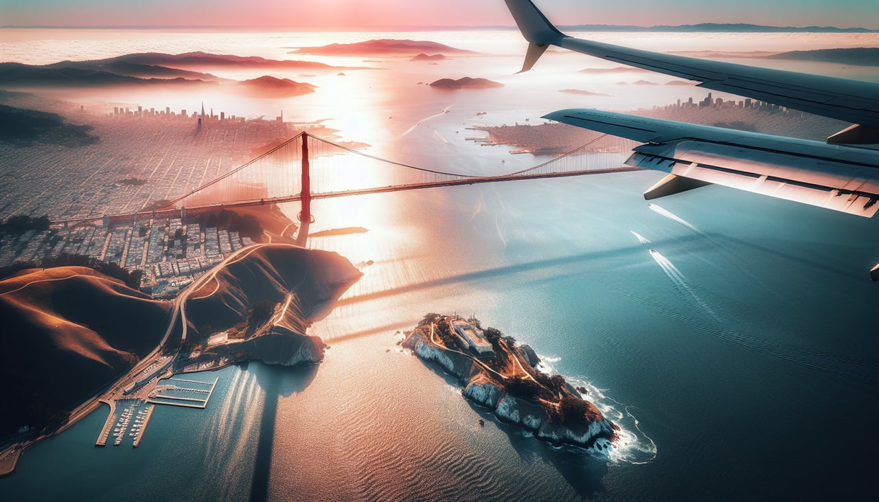
Landing at SFO
RIGHTOn approach into SFO from the south, aircraft typically turn out over San Mateo and the Bay before lining up on the northern runways, putting the San Francisco skyline, the Bay Bridge, and the water of the Bay itself on the right side of the cabin.
Will your flight be in sunlight?
Pick a date and time in the Sun Map to watch the sun move across your whole flight.
About This Route
Which side of the plane should I sit on flying from Santa Barbara Municipal Airport (SBA) to San Francisco International (SFO)?
Sit on the Left side of the plane for the best views on flights from Santa Barbara to San Francisco. The northbound coastal routing keeps the Pacific shoreline, Point Conception, and the Big Sur cliffs on the left side for most of the cruise, giving that side a longer and more continuously scenic experience than the brief bay view on landing.
What can I see during takeoff from Santa Barbara Municipal Airport in Santa Barbara?
During takeoff from Santa Barbara Municipal Airport (SBA), sit on the Left side for the best views. Departing SBA on runway 25 into the westerly wind, the plane banks out over the Pacific before turning north, giving left-side passengers a clear view of the Santa Barbara coastline, the harbor, and the Channel Islands offshore. Notable sights include: Santa Barbara Harbor, Channel Islands, Santa Ynez Mountains foothills, Pacific coastline.
What can I see when landing at San Francisco International in San Francisco?
When landing at San Francisco International (SFO), sit on the Right side for the best views. On approach into SFO from the south, aircraft typically turn out over San Mateo and the Bay before lining up on the northern runways, putting the San Francisco skyline, the Bay Bridge, and the water of the Bay itself on the right side of the cabin. Notable sights include: San Francisco skyline, San Francisco Bay, Bay Bridge, San Bruno Mountain.
How long is the flight from Santa Barbara to San Francisco?
The flight from Santa Barbara Municipal Airport (SBA) to San Francisco International (SFO) takes about 45 minutes. The shortest flight path between them is 262 miles (422 km); winds and air traffic control usually add a few percent.
What does the Santa Barbara to San Francisco flight path pass over?
Point Conception, the Big Sur coastline and Santa Lucia Mountains, Monterey Bay, and the Santa Cruz Mountains along the central California coast