While takeoff favors the right for St. Barts departure views, the landing approach to St. Thomas is significantly more visually rewarding from the left side, offering close-range views of Charlotte Amalie, the harbor, and the island's distinctive volcanic topography. The landing experience outweighs the takeoff advantage.
Flight Path
The flight crosses open Caribbean water between the two islands. At midpoint (roughly 7 miles from each island), you'll see both St. Barts receding behind to the southwest and St. Thomas growing ahead to the northeast. The British Virgin Islands (Tortola, Virgin Gorda) remain visible to the north throughout the flight. The water below transitions from the shallow banks around St. Barts to deeper Caribbean blue. No major landmasses occupy the direct flight path; this is primarily open ocean with excellent visibility of both departure and arrival islands.
Great circle distance and headings ›Phase by phase
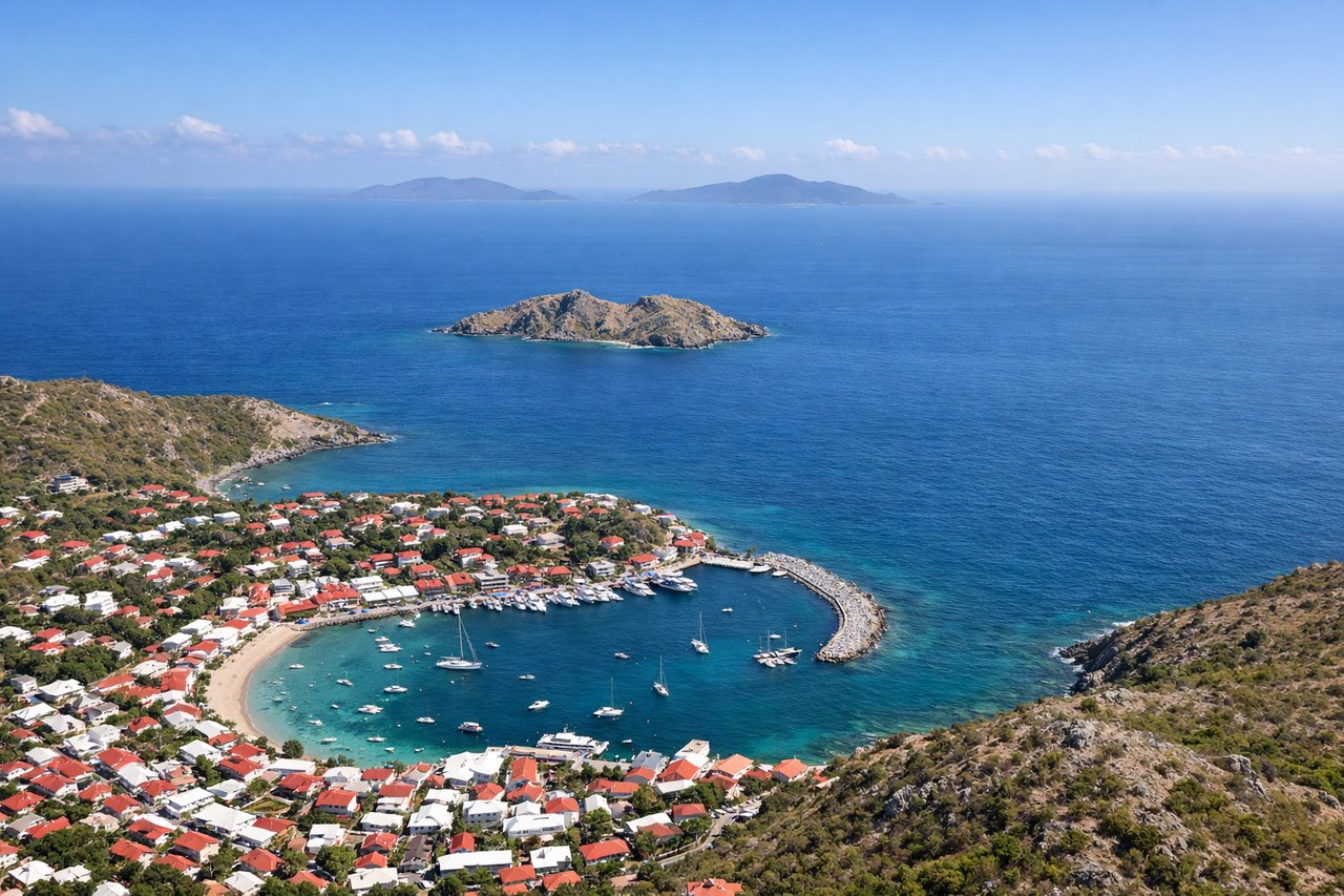
Takeoff from SBH
RIGHTGustavia typically departs runway 10 (northeast heading). Right-side seats face toward the British Virgin Islands and the deeper Caribbean basin, offering views of St. Barts' dramatic northern coastline and the open water you'll cross.
Landing at STT
LEFTSt. Thomas approaches typically use runway 09 or 10 (easterly headings). Left-side seats during descent offer unobstructed views of the US Virgin Islands' main island, Charlotte Amalie's harbor, and the dramatic green hills that define St. Thomas's geography.
Will your flight be in sunlight?
See exactly which side of the plane gets sun and shade at your departure time.
About This Route
Which side of the plane should I sit on flying from Gustavia/st.barthel (SBH) to Cyril E King (STT)?
Sit on the Left side of the plane for the best views on flights from St. Barthélemy to St. Thomas. While takeoff favors the right for St. Barts departure views, the landing approach to St. Thomas is significantly more visually rewarding from the left side, offering close-range views of Charlotte Amalie, the harbor, and the island's distinctive volcanic topography. The landing experience outweighs the takeoff advantage.
What can I see during takeoff from Gustavia/st.barthel in St. Barthélemy?
During takeoff from Gustavia/st.barthel (SBH), sit on the Right side for the best views. Gustavia typically departs runway 10 (northeast heading). Right-side seats face toward the British Virgin Islands and the deeper Caribbean basin, offering views of St. Barts' dramatic northern coastline and the open water you'll cross. Notable sights include: Gustavia harbor and town (directly below during initial climb), Île Fourchue to the north, the British Virgin Islands (Tortola and Virgin Gorda) appearing on the horizon to the northeast, deeper Caribbean waters stretching eastward.
What can I see when landing at Cyril E King in St. Thomas?
When landing at Cyril E King (STT), sit on the Left side for the best views. St. Thomas approaches typically use runway 09 or 10 (easterly headings). Left-side seats during descent offer unobstructed views of the US Virgin Islands' main island, Charlotte Amalie's harbor, and the dramatic green hills that define St. Thomas's geography. Notable sights include: Charlotte Amalie harbor and town waterfront, Magens Bay (northern coast), the green volcanic hills of St. Thomas interior, Water Island and Hassel Island in the harbor approaches.
How long is the flight from St. Barthélemy to St. Thomas?
The flight from Gustavia/st.barthel (SBH) to Cyril E King (STT) takes Approximately 25-30 minutes.
What does the St. Barthélemy to St. Thomas flight path pass over?
The flight crosses open Caribbean water between the two islands. At midpoint (roughly 7 miles from each island), you'll see both St. Barts receding behind to the southwest and St. Thomas growing ahead to the northeast. The British Virgin Islands (Tortola, Virgin Gorda) remain visible to the north throughout the flight. The water below transitions from the shallow banks around St. Barts to deeper Caribbean blue. No major landmasses occupy the direct flight path; this is primarily open ocean with excellent visibility of both departure and arrival islands.