Right side scores higher (3.5 vs 2.5) due to superior landing scenery: the Tianshan Mountains' dramatic northern escarpment provides genuine topographic drama and visual variety during descent. Takeoff is comparable on both sides, but the landing experience on the right—transitioning from high-altitude peaks to basin floor—creates more memorable scenery than the left side's flat desert approach.
Flight Path
Loess Plateau transition zone, Henan plains, Shaanxi uplands, Yellow River crossings, Ningxia-Gansu border region, Gobi Desert expansion eastward, gradual elevation gain toward Tianshan foothills
Great circle distance and headings ›
.jpg?width=600)


Phase by phase
Takeoff from SHA
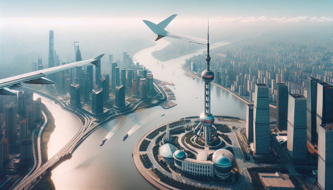
RIGHTRight side captures Shanghai's Huangpu River and Pudong skyline during northbound climb (runway 36), with the distinctive Oriental Pearl Tower and Bund visible. Left side shows western suburbs and industrial areas with minimal visual interest.
Landing at URC
RIGHTRight side (north-facing approach to runway 08L/26R or 08R/26L) reveals the Tianshan Mountains' dramatic northern escarpment rising abruptly from the Junggar Basin floor. Left side shows flat desert plains with minimal topographic variation.
Landmarks on this routeAll landmarks →
Will your flight be in sunlight?
See exactly which side of the plane gets sun and shade at your departure time.
About This Route
Which side of the plane should I sit on flying from Hongqiao International (SHA) to Diwopu (URC)?
Sit on the Right side of the plane for the best views on flights from Shanghai to Urumqi. Right side scores higher (3.5 vs 2.5) due to superior landing scenery: the Tianshan Mountains' dramatic northern escarpment provides genuine topographic drama and visual variety during descent. Takeoff is comparable on both sides, but the landing experience on the right—transitioning from high-altitude peaks to basin floor—creates more memorable scenery than the left side's flat desert approach.
What can I see during takeoff from Hongqiao International in Shanghai?
During takeoff from Hongqiao International (SHA), sit on the Right side for the best views. Right side captures Shanghai's Huangpu River and Pudong skyline during northbound climb (runway 36), with the distinctive Oriental Pearl Tower and Bund visible. Left side shows western suburbs and industrial areas with minimal visual interest. Notable sights include: Huangpu River, Pudong financial district skyline, Oriental Pearl Tower, Bund waterfront.
What can I see when landing at Diwopu in Urumqi?
When landing at Diwopu (URC), sit on the Right side for the best views. Right side (north-facing approach to runway 08L/26R or 08R/26L) reveals the Tianshan Mountains' dramatic northern escarpment rising abruptly from the Junggar Basin floor. Left side shows flat desert plains with minimal topographic variation. Notable sights include: Tianshan Mountains northern face, Junggar Basin floor, Urumqi urban sprawl, Diwopu airport infrastructure.
How long is the flight from Shanghai to Urumqi?
The flight from Hongqiao International (SHA) to Diwopu (URC) takes 4h 15m.
What does the Shanghai to Urumqi flight path pass over?
Loess Plateau transition zone, Henan plains, Shaanxi uplands, Yellow River crossings, Ningxia-Gansu border region, Gobi Desert expansion eastward, gradual elevation gain toward Tianshan foothills