Right side scores higher (3.5 vs 2.5) due to superior scenery on both legs: Shanghai's Pudong skyline and Yangtze estuary during departure, and Lake Ontario with Toronto Islands and CN Tower during arrival. Left side is dominated by flat terrain and open water with minimal landmarks. The right side provides urban drama at both ends and water scenery in between, while the left side offers only monotonous plains and ocean.
Flown SHA to YYZ? Did we get it right?
Flight Path
Shanghai to Toronto is 7,096 miles (11,421 km), a flight of about 11 hours 55 minutes.
Arctic archipelago (Canadian Arctic Islands), Hudson Bay, Labrador coast, Greenland ice sheet (distant, far north), North Atlantic open water, Baffin Island
Great circle distance and headings ›Phase by phase

Takeoff from SHA
RIGHTRight side captures Shanghai's Huangpu River, Pudong skyline, and the Yangtze River estuary during northbound climb-out. Left side faces inland toward flat Jiangsu Province with minimal visual interest.
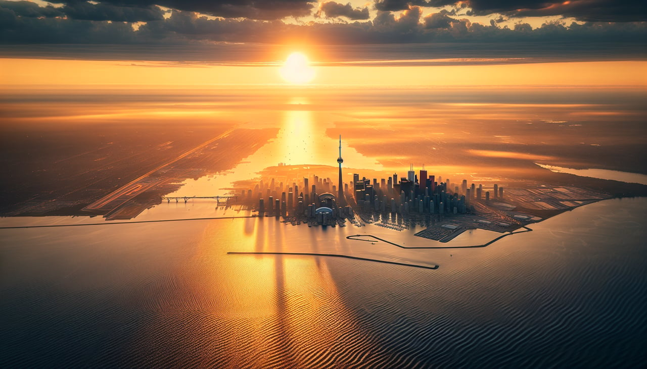
Landing at YYZ
RIGHTRight side offers the most dramatic approach scenery: the descent over Lake Ontario, the Toronto Islands, and the downtown skyline with the CN Tower visible during final approach to runway 24L/24R or 06R/24L. Left side sees only open water and distant shoreline.
Will your flight be in sunlight?
Pick a date and time in the Sun Map to watch the sun move across your whole flight.
About This Route
Which side of the plane should I sit on flying from Hongqiao International (SHA) to Lester B Pearson International (YYZ)?
Sit on the Right side of the plane for the best views on flights from Shanghai to Toronto. Right side scores higher (3.5 vs 2.5) due to superior scenery on both legs: Shanghai's Pudong skyline and Yangtze estuary during departure, and Lake Ontario with Toronto Islands and CN Tower during arrival. Left side is dominated by flat terrain and open water with minimal landmarks. The right side provides urban drama at both ends and water scenery in between, while the left side offers only monotonous plains and ocean.
What can I see during takeoff from Hongqiao International in Shanghai?
During takeoff from Hongqiao International (SHA), sit on the Right side for the best views. Right side captures Shanghai's Huangpu River, Pudong skyline, and the Yangtze River estuary during northbound climb-out. Left side faces inland toward flat Jiangsu Province with minimal visual interest. Notable sights include: Pudong financial district skyline, Huangpu River bend, Yangtze River mouth, East China Sea coastline.
What can I see when landing at Lester B Pearson International in Toronto?
When landing at Lester B Pearson International (YYZ), sit on the Right side for the best views. Right side offers the most dramatic approach scenery: the descent over Lake Ontario, the Toronto Islands, and the downtown skyline with the CN Tower visible during final approach to runway 24L/24R or 06R/24L. Left side sees only open water and distant shoreline. Notable sights include: Lake Ontario, Toronto Islands, CN Tower, downtown Toronto skyline.
How long is the flight from Shanghai to Toronto?
The flight from Hongqiao International (SHA) to Lester B Pearson International (YYZ) takes about 11 hours 55 minutes. The shortest flight path between them is 7,096 miles (11,421 km); winds and air traffic control usually add a few percent.
What does the Shanghai to Toronto flight path pass over?
Arctic archipelago (Canadian Arctic Islands), Hudson Bay, Labrador coast, Greenland ice sheet (distant, far north), North Atlantic open water, Baffin Island