Shimojishima to Taipei is 246 miles (395 km), a flight of about 1 hour 15 minutes.
While the takeoff offers island scenery, the landing approach provides more dramatic and varied views of Taiwan's geography, urban landscape, and the transition from sea to developed land. Left-side seats capture the most visually interesting final descent.
Flight Path
The flight path crosses the Taiwan Strait (roughly 100 nautical miles wide at this latitude). During cruise, passengers may see the Strait's open waters, and on clear days, the distant outline of Taiwan's northern coast becoming progressively larger. The flight maintains altitude around 25,000-30,000 feet for most of the crossing, making individual landmarks difficult to distinguish, but the overall geography of the Strait and Taiwan's position relative to the Ryukyu Islands becomes apparent.
Great circle distance and headings ›Phase by phase
Takeoff from SHI
RIGHTRight-side seats offer views of the Ryukyu Islands chain stretching southwest from Shimojishima. The aircraft will climb over the East China Sea with the island archipelago visible below and to the right during the initial ascent.
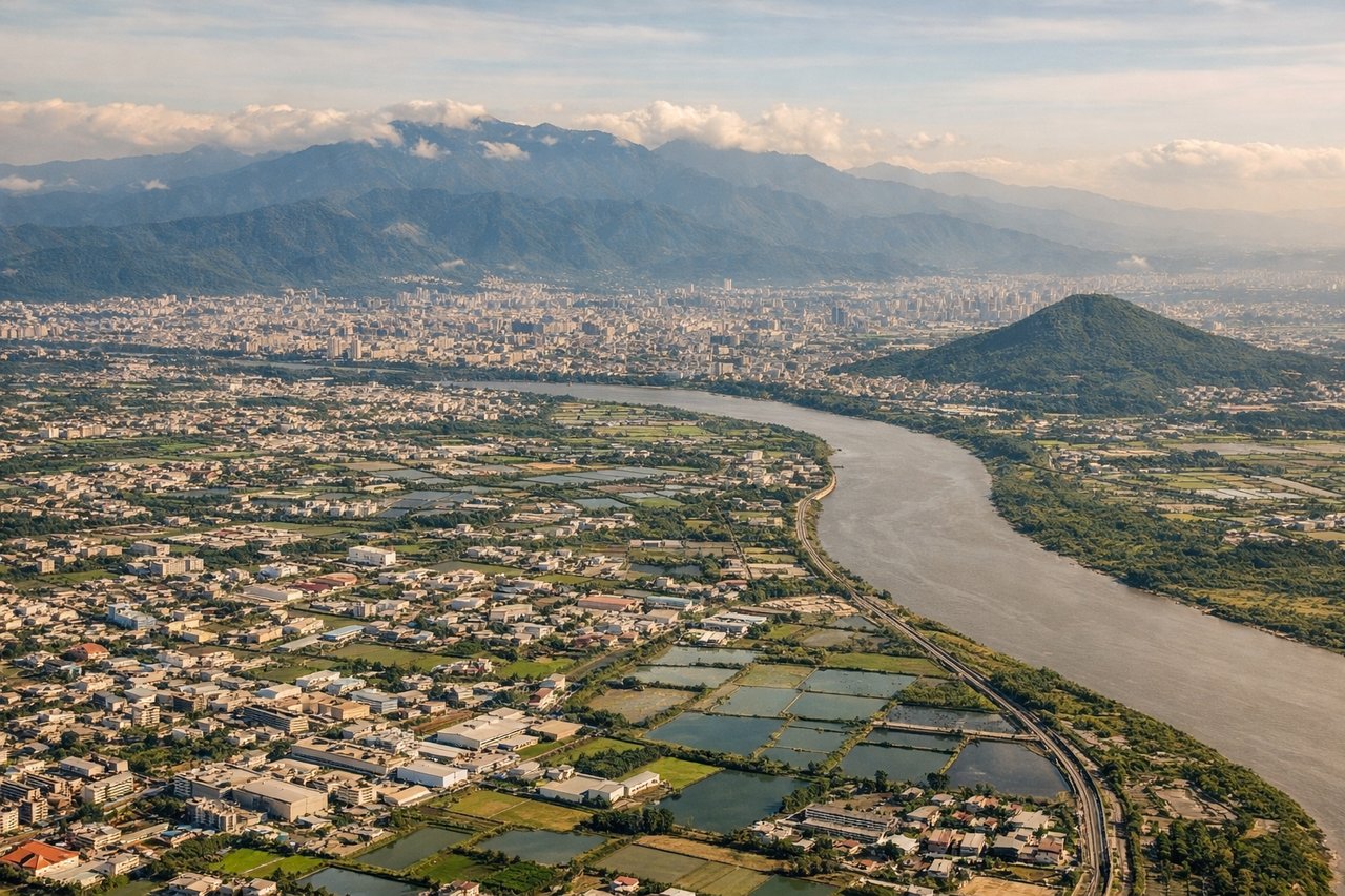
Landing at TPE
LEFTLeft-side seats provide views during descent into Taipei. The aircraft approaches from the northeast over the Taiwan Strait, and left-side windows will show the northern Taiwan coastline, the Taipei Basin, and the city itself as you descend toward Chiang Kai Shek International Airport (located west of the city).
Will your flight be in sunlight?
Pick a date and time in the Sun Map to watch the sun move across your whole flight.
About This Route
Which side of the plane should I sit on flying from Shimojishima (SHI) to Chiang Kai Shek International (TPE)?
Sit on the Left side of the plane for the best views on flights from Shimojishima to Taipei. While the takeoff offers island scenery, the landing approach provides more dramatic and varied views of Taiwan's geography, urban landscape, and the transition from sea to developed land. Left-side seats capture the most visually interesting final descent.
What can I see during takeoff from Shimojishima in Shimojishima?
During takeoff from Shimojishima (SHI), sit on the Right side for the best views. Right-side seats offer views of the Ryukyu Islands chain stretching southwest from Shimojishima. The aircraft will climb over the East China Sea with the island archipelago visible below and to the right during the initial ascent. Notable sights include: Shimojishima itself (departure point), Okinawa Island to the southwest, Kerama Islands, East China Sea.
What can I see when landing at Chiang Kai Shek International in Taipei?
When landing at Chiang Kai Shek International (TPE), sit on the Left side for the best views. Left-side seats provide views during descent into Taipei. The aircraft approaches from the northeast over the Taiwan Strait, and left-side windows will show the northern Taiwan coastline, the Taipei Basin, and the city itself as you descend toward Chiang Kai Shek International Airport (located west of the city). Notable sights include: Taiwan Strait, northern Taiwan coastline, Taipei Basin and urban area, Yangmingshan volcanic peaks.
How long is the flight from Shimojishima to Taipei?
The flight from Shimojishima (SHI) to Chiang Kai Shek International (TPE) takes about 1 hour 15 minutes. The shortest flight path between them is 246 miles (395 km); winds and air traffic control usually add a few percent.
What does the Shimojishima to Taipei flight path pass over?
The flight path crosses the Taiwan Strait (roughly 100 nautical miles wide at this latitude). During cruise, passengers may see the Strait's open waters, and on clear days, the distant outline of Taiwan's northern coast becoming progressively larger. The flight maintains altitude around 25,000-30,000 feet for most of the crossing, making individual landmarks difficult to distinguish, but the overall geography of the Strait and Taiwan's position relative to the Ryukyu Islands becomes apparent.