While takeoff favors the right for immediate coastal views, the landing approach on left seats provides more sustained and dramatic views of the Caribbean crossing and the Dominican coastline arrival. The left side captures the final descent corridor over open water and the coastal transition.
Flown SJU to SDQ? Did we get it right?
Flight Path
San Juan to Santo Domingo is 240 miles (387 km), a flight of about 55 minutes.
The flight path crosses the Mona Passage, the deep-water strait between Puerto Rico and the Dominican Republic (approximately 50 nautical miles wide). At cruise altitude (25,000-30,000 feet), the Mona Passage appears as open deep-blue water with no visible islands. The passage is characterized by rough seas and strong currents but offers no distinctive visual landmarks from altitude. Both sides of the aircraft will see essentially identical open ocean during the midpoint of the flight. The Dominican coast becomes visible approximately 15-20 minutes before landing, with the southern coastline gradually appearing on the left side during descent.
Great circle distance and headings ›

Phase by phase
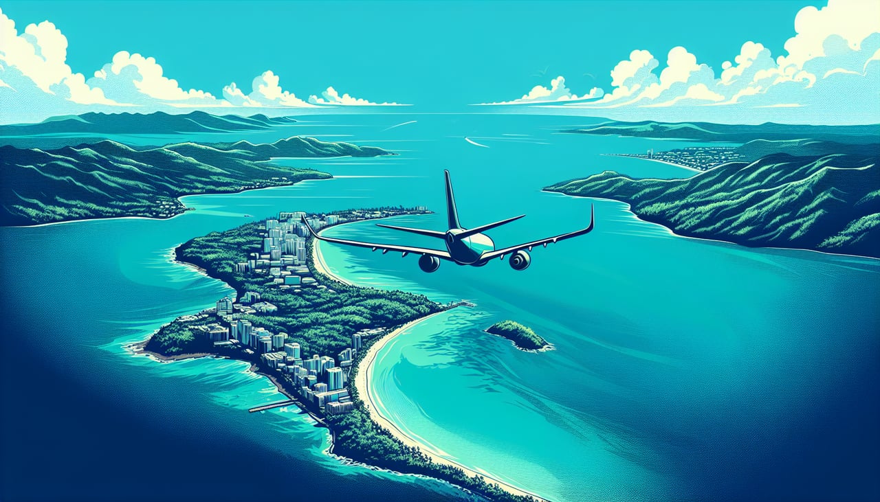
Takeoff from SJU
RIGHTSJU typically departs eastbound (Runway 09/27 operations favor eastbound departures). Right-side seats capture the immediate Puerto Rico coastline, the northern shore of San Juan Bay, and the transition from urban development to open Caribbean waters. Left seats face inland toward the interior of Puerto Rico.
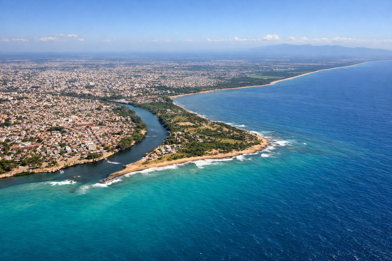
Landing at SDQ
LEFTSDQ (Las Americas) uses Runway 01/19 with typical approaches from the north or east. Left-side seats on descent capture the Dominican coastline, the Caribbean Sea approach corridor, and the transition from open water to the southern coast near Santo Domingo. Right seats face inland toward the interior plateau.
Will your flight be in sunlight?
Pick a date and time in the Sun Map to watch the sun move across your whole flight.
About This Route
Which side of the plane should I sit on flying from Luis Munoz Marin International (SJU) to Las Americas International (SDQ)?
Sit on the Left side of the plane for the best views on flights from San Juan to Santo Domingo. While takeoff favors the right for immediate coastal views, the landing approach on left seats provides more sustained and dramatic views of the Caribbean crossing and the Dominican coastline arrival. The left side captures the final descent corridor over open water and the coastal transition.
What can I see during takeoff from Luis Munoz Marin International in San Juan?
During takeoff from Luis Munoz Marin International (SJU), sit on the Right side for the best views. SJU typically departs eastbound (Runway 09/27 operations favor eastbound departures). Right-side seats capture the immediate Puerto Rico coastline, the northern shore of San Juan Bay, and the transition from urban development to open Caribbean waters. Left seats face inland toward the interior of Puerto Rico. Notable sights include: San Juan Bay and harbor infrastructure, Atlantic coastline of northern Puerto Rico, El Yunque National Forest (visible as forested ridge to the south during climb), Dorado and Arecibo coastal plains extending eastward.
What can I see when landing at Las Americas International in Santo Domingo?
When landing at Las Americas International (SDQ), sit on the Left side for the best views. SDQ (Las Americas) uses Runway 01/19 with typical approaches from the north or east. Left-side seats on descent capture the Dominican coastline, the Caribbean Sea approach corridor, and the transition from open water to the southern coast near Santo Domingo. Right seats face inland toward the interior plateau. Notable sights include: Caribbean Sea and approach waters, Dominican southern coastline with beach development, Ozama River estuary near Santo Domingo, coastal plains and low hills of the southern Dominican Republic.
How long is the flight from San Juan to Santo Domingo?
The flight from Luis Munoz Marin International (SJU) to Las Americas International (SDQ) takes about 55 minutes. The shortest flight path between them is 240 miles (387 km); winds and air traffic control usually add a few percent.
What does the San Juan to Santo Domingo flight path pass over?
The flight path crosses the Mona Passage, the deep-water strait between Puerto Rico and the Dominican Republic (approximately 50 nautical miles wide). At cruise altitude (25,000-30,000 feet), the Mona Passage appears as open deep-blue water with no visible islands. The passage is characterized by rough seas and strong currents but offers no distinctive visual landmarks from altitude. Both sides of the aircraft will see essentially identical open ocean during the midpoint of the flight. The Dominican coast becomes visible approximately 15-20 minutes before landing, with the southern coastline gradually appearing on the left side during descent.