Sacramento to Seattle is 606 miles (975 km), a flight of about 1 hour 55 minutes.
The right side tracks the eastern edge of the flight corridor, revealing the Sierra Nevada near Sacramento, then Mount Shasta, the Cascade volcanic chain, and finally Mount Rainier near Seattle — a continuous string of dramatic peaks versus the comparatively flat, ocean-obscured Coast Range views on the left.
Flight Path
Mount Shasta, the Klamath Mountains, Rogue River Valley, and the Cascade volcanic chain including Mount McLoughlin and the Three Sisters, followed by the Willamette Valley as the route parallels the I-5 corridor north.
Great circle distance and headings ›


Phase by phase
Takeoff from SMF
RIGHTClimbing out of SMF, the right (east) side shows the Sacramento River delta giving way to the Sierra Nevada foothills rising in the distance, a dramatic backdrop compared to the flatter Coast Range hills on the left.
Landing at SEA
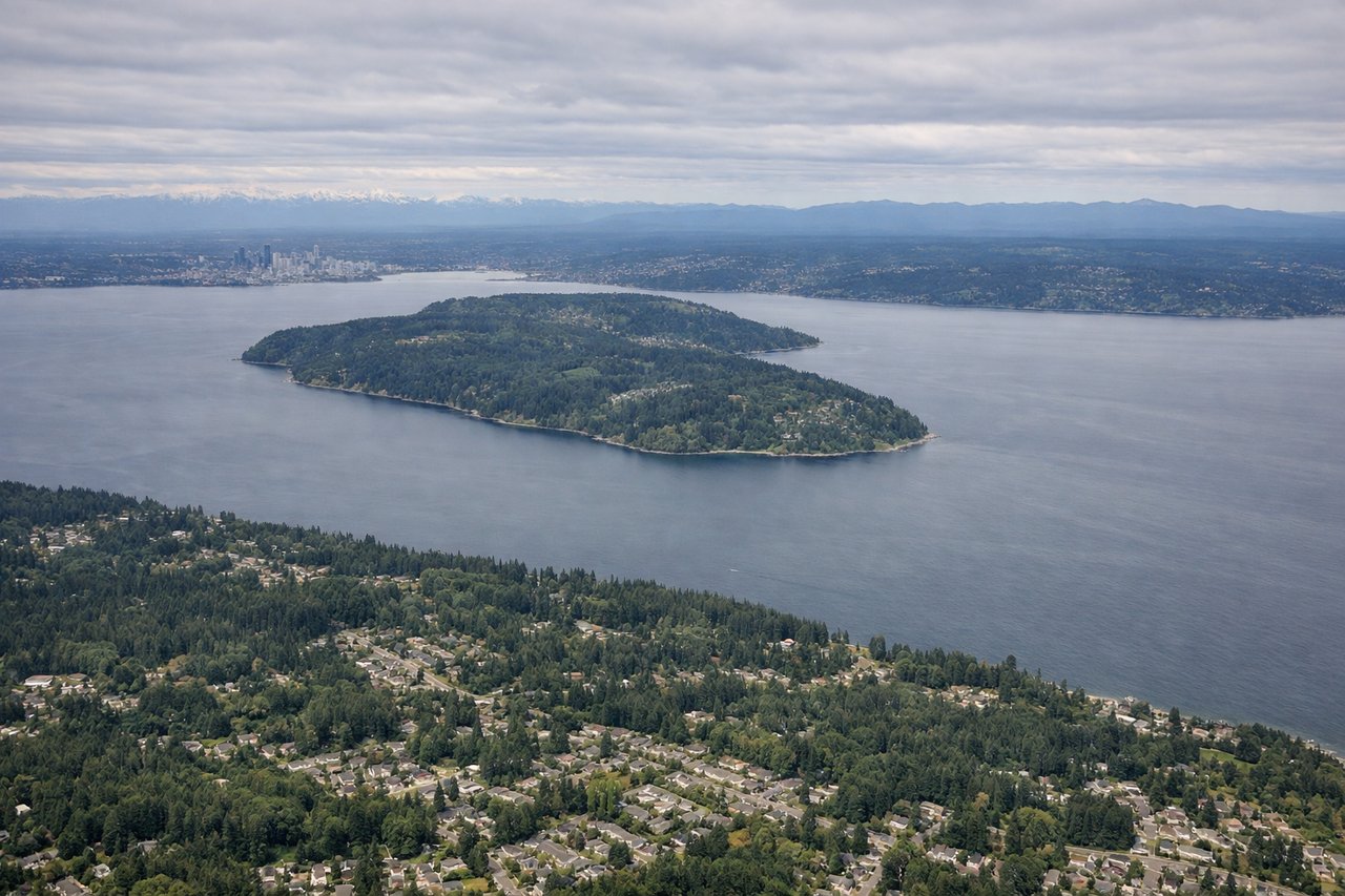
RIGHTOn the descent into SEA from the south, the right side offers a clear view of Mount Rainier's massive snow-capped cone dominating the horizon over the Cascades, while the left side mostly shows the flatter waters of Puget Sound.
Landmarks on this routeAll landmarks →
Will your flight be in sunlight?
Pick a date and time in the Sun Map to watch the sun move across your whole flight.
About This Route
Which side of the plane should I sit on flying from Sacramento International (SMF) to Seattle Tacoma International (SEA)?
Sit on the Right side of the plane for the best views on flights from Sacramento to Seattle. The right side tracks the eastern edge of the flight corridor, revealing the Sierra Nevada near Sacramento, then Mount Shasta, the Cascade volcanic chain, and finally Mount Rainier near Seattle — a continuous string of dramatic peaks versus the comparatively flat, ocean-obscured Coast Range views on the left.
What can I see during takeoff from Sacramento International in Sacramento?
During takeoff from Sacramento International (SMF), sit on the Right side for the best views. Climbing out of SMF, the right (east) side shows the Sacramento River delta giving way to the Sierra Nevada foothills rising in the distance, a dramatic backdrop compared to the flatter Coast Range hills on the left. Notable sights include: Sacramento River, Sacramento skyline, Sierra Nevada foothills, American River confluence.
What can I see when landing at Seattle Tacoma International in Seattle?
When landing at Seattle Tacoma International (SEA), sit on the Right side for the best views. On the descent into SEA from the south, the right side offers a clear view of Mount Rainier's massive snow-capped cone dominating the horizon over the Cascades, while the left side mostly shows the flatter waters of Puget Sound. Notable sights include: Mount Rainier, Cascade foothills, Puget Sound shoreline, Seattle skyline (distant).
How long is the flight from Sacramento to Seattle?
The flight from Sacramento International (SMF) to Seattle Tacoma International (SEA) takes about 1 hour 55 minutes. The shortest flight path between them is 606 miles (975 km); winds and air traffic control usually add a few percent.
What does the Sacramento to Seattle flight path pass over?
Mount Shasta, the Klamath Mountains, Rogue River Valley, and the Cascade volcanic chain including Mount McLoughlin and the Three Sisters, followed by the Willamette Valley as the route parallels the I-5 corridor north.