Sofia to Amsterdam is 1,090 miles (1,754 km), a flight of about 2 hours 45 minutes.
Takeoff from Sofia offers more dramatic and visually distinctive scenery with the Rila and Vitosha mountains. While landing into Amsterdam provides interesting polder views, the mountain scenery on departure is more striking and memorable.
Flight Path
Danube River valley (visible around the Serbia-Hungary border region), Carpathian Mountains foothills in southern Romania, Tisza River in Hungary, Pannonian Plain, and the transition from Balkan terrain to Central European lowlands. The flight path crosses from the alpine/Mediterranean climate zone of Bulgaria through the Danube corridor into the temperate plains of Central Europe.
Great circle distance and headings ›Phase by phase
Takeoff from SOF
LEFTLeft side offers views of the Rila Mountains and Vitosha Mountain immediately southwest of Sofia during climb-out. Right side faces northeast toward flatter terrain with less dramatic scenery.
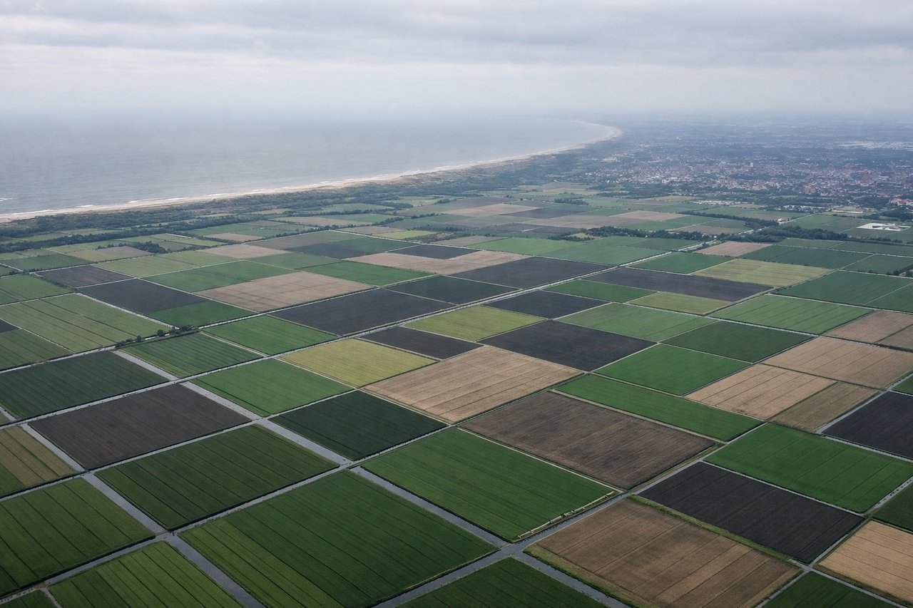
Landing at AMS
RIGHTRight side provides views of the Rhine River delta, North Sea coastline, and the Dutch polder landscape during descent into Amsterdam. Left side faces inland toward Germany with less distinctive features.
Landmarks on this routeAll landmarks →
Will your flight be in sunlight?
Pick a date and time in the Sun Map to watch the sun move across your whole flight.
About This Route
Which side of the plane should I sit on flying from Sofia (SOF) to Schiphol (AMS)?
Sit on the Left side of the plane for the best views on flights from Sofia to Amsterdam. Takeoff from Sofia offers more dramatic and visually distinctive scenery with the Rila and Vitosha mountains. While landing into Amsterdam provides interesting polder views, the mountain scenery on departure is more striking and memorable.
What can I see during takeoff from Sofia in Sofia?
During takeoff from Sofia (SOF), sit on the Left side for the best views. Left side offers views of the Rila Mountains and Vitosha Mountain immediately southwest of Sofia during climb-out. Right side faces northeast toward flatter terrain with less dramatic scenery. Notable sights include: Vitosha Mountain (2,290 m, visible as a prominent peak south of the airport), Rila Mountains (extending southwest), Sofia city sprawl below, Iskar River valley.
What can I see when landing at Schiphol in Amsterdam?
When landing at Schiphol (AMS), sit on the Right side for the best views. Right side provides views of the Rhine River delta, North Sea coastline, and the Dutch polder landscape during descent into Amsterdam. Left side faces inland toward Germany with less distinctive features. Notable sights include: Rhine River delta and distributaries, North Sea coastline, Dutch polders and canal networks, Ijsselmeer lake.
How long is the flight from Sofia to Amsterdam?
The flight from Sofia (SOF) to Schiphol (AMS) takes about 2 hours 45 minutes. The shortest flight path between them is 1,090 miles (1,754 km); winds and air traffic control usually add a few percent.
What does the Sofia to Amsterdam flight path pass over?
Danube River valley (visible around the Serbia-Hungary border region), Carpathian Mountains foothills in southern Romania, Tisza River in Hungary, Pannonian Plain, and the transition from Balkan terrain to Central European lowlands. The flight path crosses from the alpine/Mediterranean climate zone of Bulgaria through the Danube corridor into the temperate plains of Central Europe.