The right side offers the more scenic combination: Sonoma wine country and bay glimpses at departure, and a dramatic Front Range mountain backdrop on arrival into Denver, while the left side view is dominated by flat desert basins during cruise.
Flown STS to DEN? Did we get it right?
Flight Path
Santa Rosa to Denver is 974 miles (1,568 km), a flight of about 2 hours 5 minutes.
Great Basin desert terrain of northern Nevada and western Utah, including dry lake beds and isolated mountain ranges before the climb toward the Colorado Rockies
Great circle distance and headings ›

Phase by phase
Takeoff from STS
RIGHTDeparting STS on runway 32, the aircraft banks east/southeast, putting the Sonoma wine country valleys and the distant San Francisco Bay hills on the right side. The left side mainly shows the forested Mayacamas ridgeline with less variety.
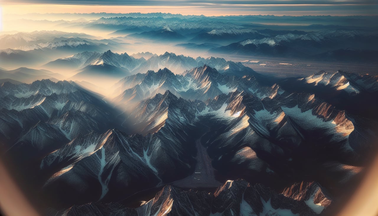
Landing at DEN
RIGHTOn approach into Denver, arrivals typically fly a southbound final for the 17-series runways, placing the Front Range of the Rocky Mountains on the right side while the flat eastern plains and Denver's skyline sit on the left. The mountain backdrop makes the right side clearly more dramatic.
Will your flight be in sunlight?
Pick a date and time in the Sun Map to watch the sun move across your whole flight.
About This Route
Which side of the plane should I sit on flying from Charles M. Schulz Sonoma County Airport (STS) to Denver International (DEN)?
Sit on the Right side of the plane for the best views on flights from Santa Rosa to Denver. The right side offers the more scenic combination: Sonoma wine country and bay glimpses at departure, and a dramatic Front Range mountain backdrop on arrival into Denver, while the left side view is dominated by flat desert basins during cruise.
What can I see during takeoff from Charles M. Schulz Sonoma County Airport in Santa Rosa?
During takeoff from Charles M. Schulz Sonoma County Airport (STS), sit on the Right side for the best views. Departing STS on runway 32, the aircraft banks east/southeast, putting the Sonoma wine country valleys and the distant San Francisco Bay hills on the right side. The left side mainly shows the forested Mayacamas ridgeline with less variety. Notable sights include: Sonoma Valley vineyards, Mayacamas Mountains, distant San Pablo/San Francisco Bay haze.
What can I see when landing at Denver International in Denver?
When landing at Denver International (DEN), sit on the Right side for the best views. On approach into Denver, arrivals typically fly a southbound final for the 17-series runways, placing the Front Range of the Rocky Mountains on the right side while the flat eastern plains and Denver's skyline sit on the left. The mountain backdrop makes the right side clearly more dramatic. Notable sights include: Front Range foothills, Pikes Peak (distant), Rocky Mountain snow-capped peaks, South Platte River valley.
How long is the flight from Santa Rosa to Denver?
The flight from Charles M. Schulz Sonoma County Airport (STS) to Denver International (DEN) takes about 2 hours 5 minutes. The shortest flight path between them is 974 miles (1,568 km); winds and air traffic control usually add a few percent.
What does the Santa Rosa to Denver flight path pass over?
Great Basin desert terrain of northern Nevada and western Utah, including dry lake beds and isolated mountain ranges before the climb toward the Colorado Rockies