While the right side wins the takeoff with Qingdao's harbor view, the left side delivers a stronger overall experience thanks to Taiwan's dramatic volcanic coastline and mountains during the approach into Taipei, which outweighs the mostly featureless open-water cruise.
Flown TAO to TPE? Did we get it right?
Flight Path
Qingdao to Taipei is 783 miles (1,259 km), a flight of about 2 hours 20 minutes.
Open East China Sea crossing, with the Chinese coastline near Zhoushan Archipelago visible in clear conditions before the flight path curves toward northern Taiwan
Great circle distance and headings ›Phase by phase

Takeoff from TAO
RIGHTDeparting TAO to the south, the right side gives a good look back at Qingdao's harbor city and Jiaozhou Bay before the aircraft turns out over open water. The left side only shows the flat Yellow Sea horizon from the start.
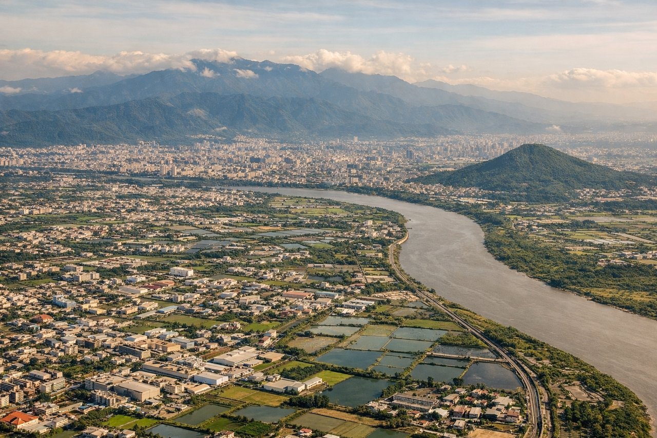
Landing at TPE
LEFTOn approach into TPE from the northeast, the left side faces the rugged coastline near Keelung and the volcanic peaks of Yangmingshan before the plane descends into the Taoyuan plain. The right side mostly shows the flat Taiwan Strait with no major landmarks.
Will your flight be in sunlight?
Pick a date and time in the Sun Map to watch the sun move across your whole flight.
About This Route
Which side of the plane should I sit on flying from Qingdao Jiaodong International Airport (TAO) to Chiang Kai Shek International (TPE)?
Sit on the Left side of the plane for the best views on flights from Qingdao to Taipei. While the right side wins the takeoff with Qingdao's harbor view, the left side delivers a stronger overall experience thanks to Taiwan's dramatic volcanic coastline and mountains during the approach into Taipei, which outweighs the mostly featureless open-water cruise.
What can I see during takeoff from Qingdao Jiaodong International Airport in Qingdao?
During takeoff from Qingdao Jiaodong International Airport (TAO), sit on the Right side for the best views. Departing TAO to the south, the right side gives a good look back at Qingdao's harbor city and Jiaozhou Bay before the aircraft turns out over open water. The left side only shows the flat Yellow Sea horizon from the start. Notable sights include: Jiaozhou Bay, Qingdao city skyline and port, Shandong peninsula coastline.
What can I see when landing at Chiang Kai Shek International in Taipei?
When landing at Chiang Kai Shek International (TPE), sit on the Left side for the best views. On approach into TPE from the northeast, the left side faces the rugged coastline near Keelung and the volcanic peaks of Yangmingshan before the plane descends into the Taoyuan plain. The right side mostly shows the flat Taiwan Strait with no major landmarks. Notable sights include: Keelung coastline, Yangmingshan volcanic peaks, Taipei Basin rim mountains, Taiwan Strait in the distance.
How long is the flight from Qingdao to Taipei?
The flight from Qingdao Jiaodong International Airport (TAO) to Chiang Kai Shek International (TPE) takes about 2 hours 20 minutes. The shortest flight path between them is 783 miles (1,259 km); winds and air traffic control usually add a few percent.
What does the Qingdao to Taipei flight path pass over?
Open East China Sea crossing, with the Chinese coastline near Zhoushan Archipelago visible in clear conditions before the flight path curves toward northern Taiwan