Laem Ngop to Bangkok is 144 miles (231 km), a flight of about 55 minutes.
The left side wins for the full flight because it captures the scenic highlight of the route — the Gulf of Thailand coastline and Koh Chang islands near departure — plus a coastal-influenced approach into Bangkok, while the right side offers only flat, unremarkable inland terrain throughout.
Flight Path
Gulf of Thailand coastal waters off Chonburi and Rayong provinces, with Koh Larn and the Pattaya coastline visible below the flight path before the descent toward Bangkok's delta plain.
Great circle distance and headings ›Phase by phase
Takeoff from TDX
LEFTDeparting Trat, the left side faces southwest toward the Gulf of Thailand, giving passengers a good look at the Koh Chang archipelago and turquoise coastal waters as the aircraft climbs out. The right side only shows the flat, inland Trat-Chanthaburi countryside with little variation.
Landing at BKK
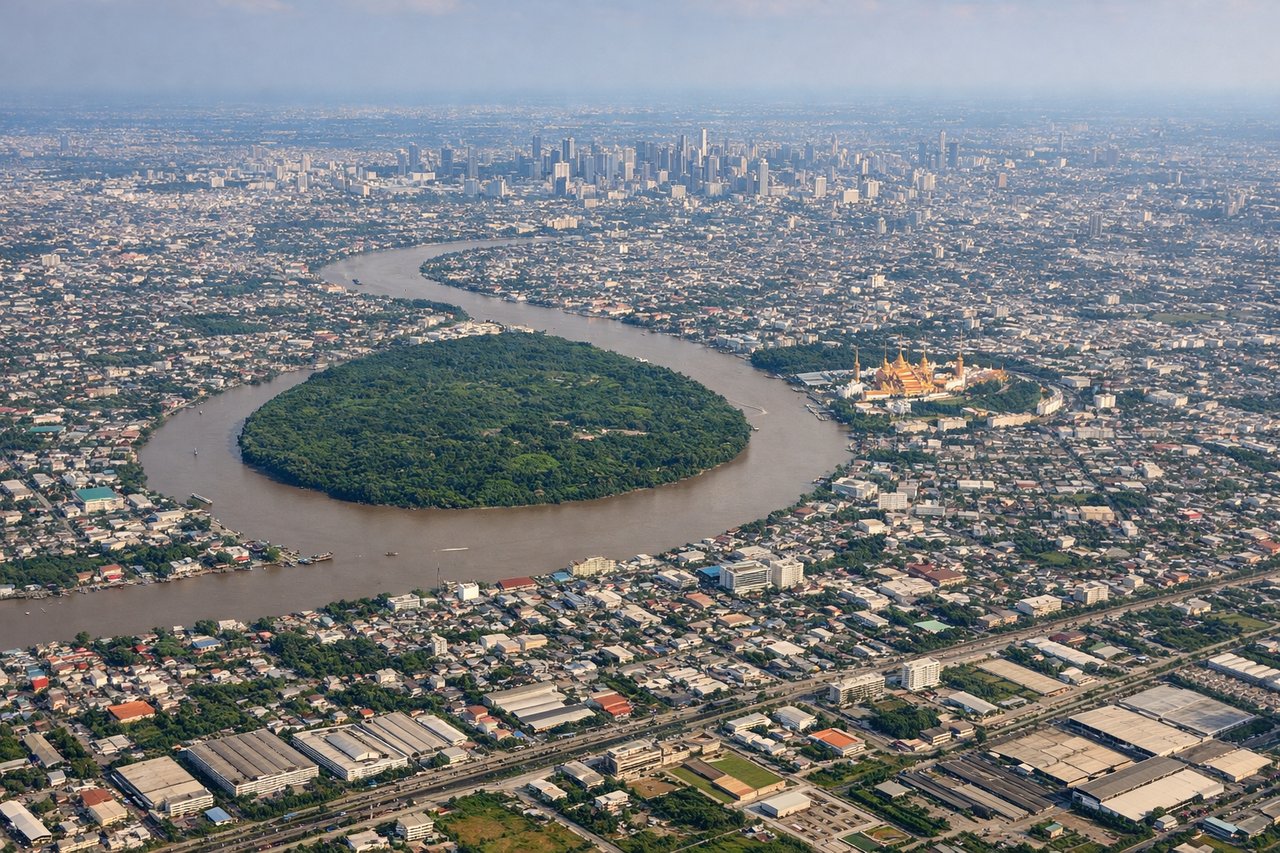
LEFTOn approach into Suvarnabhumi from the south, the left side offers views over the Gulf of Thailand's upper bay and the Chao Phraya delta's fish farms and canals before the runway threshold, with glimpses of Bangkok's outer suburbs. The right side during this approach mostly shows flat rice paddies and industrial estates with no strong visual anchors.
Landmarks on this routeAll landmarks →
Will your flight be in sunlight?
Pick a date and time in the Sun Map to watch the sun move across your whole flight.
About This Route
Which side of the plane should I sit on flying from Trat Airport (TDX) to Suvarnabhumi Airport (BKK)?
Sit on the Left side of the plane for the best views on flights from Laem Ngop to Bangkok. The left side wins for the full flight because it captures the scenic highlight of the route — the Gulf of Thailand coastline and Koh Chang islands near departure — plus a coastal-influenced approach into Bangkok, while the right side offers only flat, unremarkable inland terrain throughout.
What can I see during takeoff from Trat Airport in Laem Ngop?
During takeoff from Trat Airport (TDX), sit on the Left side for the best views. Departing Trat, the left side faces southwest toward the Gulf of Thailand, giving passengers a good look at the Koh Chang archipelago and turquoise coastal waters as the aircraft climbs out. The right side only shows the flat, inland Trat-Chanthaburi countryside with little variation. Notable sights include: Koh Chang island, Koh Kut, Gulf of Thailand coastline, Trat river estuary.
What can I see when landing at Suvarnabhumi Airport in Bangkok?
When landing at Suvarnabhumi Airport (BKK), sit on the Left side for the best views. On approach into Suvarnabhumi from the south, the left side offers views over the Gulf of Thailand's upper bay and the Chao Phraya delta's fish farms and canals before the runway threshold, with glimpses of Bangkok's outer suburbs. The right side during this approach mostly shows flat rice paddies and industrial estates with no strong visual anchors. Notable sights include: Upper Gulf of Thailand, Chao Phraya River delta, Bangkok's eastern suburbs, aquaculture ponds near Samut Prakan.
How long is the flight from Laem Ngop to Bangkok?
The flight from Trat Airport (TDX) to Suvarnabhumi Airport (BKK) takes about 55 minutes. The shortest flight path between them is 144 miles (231 km); winds and air traffic control usually add a few percent.
What does the Laem Ngop to Bangkok flight path pass over?
Gulf of Thailand coastal waters off Chonburi and Rayong provinces, with Koh Larn and the Pattaya coastline visible below the flight path before the descent toward Bangkok's delta plain.