Takeoff views of the Western Ghats and Arabian Sea coastline are more dramatic and geographically distinctive than landing views. The climb-out offers clearer mountain relief and coastal definition. Landing views are urban-focused and less visually striking despite their geographic interest.
Flown TRV to BOM? Did we get it right?
Flight Path
Trivandrum to Bombay is 782 miles (1,258 km), a flight of about 2 hours 15 minutes.
The flight path runs roughly north-northwest at cruise altitude (around 25,000-30,000 ft). Notable features along the route include the Western Ghats mountain range running parallel to the left (east) throughout the flight, with peaks visible as a distant ridge. The coastline of the Arabian Sea remains visible to the right (west) for much of the climb and descent phases. The Konkan coast between TRV and BOM includes the Goa region and numerous river estuaries, though these become less distinct at cruise altitude. The transition from Kerala's lush green terrain to Maharashtra's drier landscape is gradual. No major cities are directly on the route, but Kochi and Goa lie within 50-100 miles to the east and can occasionally be spotted as urban clusters on clear days.
Great circle distance and headings ›

Phase by phase

Takeoff from TRV
RIGHTTRV typically departs to the north or northeast. Right-side seats offer views of the Arabian Sea coastline and the Western Ghats escarpment rising inland. Left seats face the backtrack over the airport and urban sprawl with less distinctive geography.
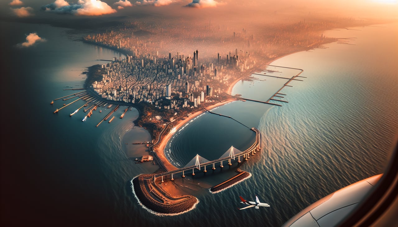
Landing at BOM
LEFTBOM uses runways 09L/27R and 09R/27L. Typical approach from the south uses runway 09 (westerly heading). Left-side seats face the Arabian Sea and Mumbai's coastal geography—the city islands, Colaba peninsula, and harbor. Right seats see the inland sprawl and eastern suburbs with less visual interest.
Will your flight be in sunlight?
Pick a date and time in the Sun Map to watch the sun move across your whole flight.
About This Route
Which side of the plane should I sit on flying from Thiruvananthapuram International (TRV) to Chhatrapati Shivaji International (BOM)?
Sit on the Right side of the plane for the best views on flights from Trivandrum to Bombay. Takeoff views of the Western Ghats and Arabian Sea coastline are more dramatic and geographically distinctive than landing views. The climb-out offers clearer mountain relief and coastal definition. Landing views are urban-focused and less visually striking despite their geographic interest.
What can I see during takeoff from Thiruvananthapuram International in Trivandrum?
During takeoff from Thiruvananthapuram International (TRV), sit on the Right side for the best views. TRV typically departs to the north or northeast. Right-side seats offer views of the Arabian Sea coastline and the Western Ghats escarpment rising inland. Left seats face the backtrack over the airport and urban sprawl with less distinctive geography. Notable sights include: Arabian Sea (immediate west), Western Ghats mountain range (northeast, rising to 4,000-6,000 ft), Thiruvananthapuram city grid (south and southeast), Padmanabhaswamy Temple area (identifiable as urban cluster near coast).
What can I see when landing at Chhatrapati Shivaji International in Bombay?
When landing at Chhatrapati Shivaji International (BOM), sit on the Left side for the best views. BOM uses runways 09L/27R and 09R/27L. Typical approach from the south uses runway 09 (westerly heading). Left-side seats face the Arabian Sea and Mumbai's coastal geography—the city islands, Colaba peninsula, and harbor. Right seats see the inland sprawl and eastern suburbs with less visual interest. Notable sights include: Arabian Sea (west and southwest), Colaba peninsula and southern Mumbai waterfront (identifiable urban peninsula), Back Bay and Marine Drive curve (distinctive crescent shoreline), Elephanta Island or Salsette Island outlines (visible in harbor approaches).
How long is the flight from Trivandrum to Bombay?
The flight from Thiruvananthapuram International (TRV) to Chhatrapati Shivaji International (BOM) takes about 2 hours 15 minutes. The shortest flight path between them is 782 miles (1,258 km); winds and air traffic control usually add a few percent.
What does the Trivandrum to Bombay flight path pass over?
The flight path runs roughly north-northwest at cruise altitude (around 25,000-30,000 ft). Notable features along the route include the Western Ghats mountain range running parallel to the left (east) throughout the flight, with peaks visible as a distant ridge. The coastline of the Arabian Sea remains visible to the right (west) for much of the climb and descent phases. The Konkan coast between TRV and BOM includes the Goa region and numerous river estuaries, though these become less distinct at cruise altitude. The transition from Kerala's lush green terrain to Maharashtra's drier landscape is gradual. No major cities are directly on the route, but Kochi and Goa lie within 50-100 miles to the east and can occasionally be spotted as urban clusters on clear days.