The landing approach offers more dramatic and varied scenery with the Yamuna River's meanders and Delhi's sprawling urban landscape. The takeoff is pleasant but less visually distinctive than the arrival sequence.
Flown VGA to DEL? Did we get it right?
Flight Path
Vijayawada to Delhi is 864 miles (1,390 km), a flight of about 2 hours 15 minutes.
The flight path crosses central India from southeast to northwest, passing over the Deccan Plateau region. Notable features include the Telangana plains, scattered reservoirs and water bodies, and the gradual transition from coastal Andhra Pradesh terrain to the flatter Indo-Gangetic plains as you approach Delhi. The Chambal River valley may be visible on the left (north) side during the middle portion of the flight, depending on exact routing.
Great circle distance and headings ›Phase by phase
Takeoff from VGA
LEFTLeft side offers views of the Krishna River delta and the city of Vijayawada itself as you climb out northwestward. The river's extensive network of channels and agricultural plains are distinctive from altitude.
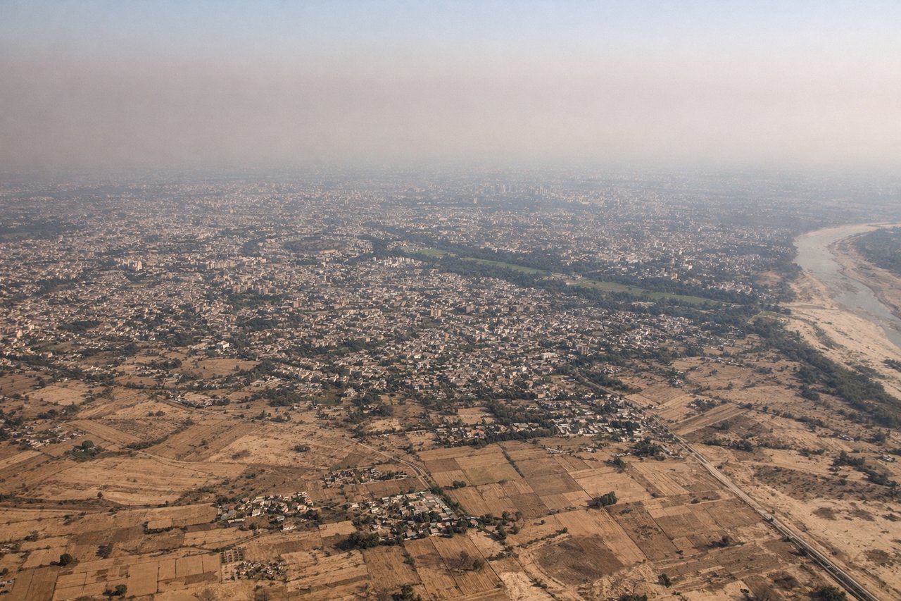
Landing at DEL
RIGHTRight side provides excellent views of the Yamuna River, Delhi's urban sprawl, and the approach corridor over the city. You'll see the river's distinctive meanders and the transition from agricultural land to dense metropolitan development.
Will your flight be in sunlight?
Pick a date and time in the Sun Map to watch the sun move across your whole flight.
About This Route
Which side of the plane should I sit on flying from Vijayawada (VGA) to Indira Gandhi International (DEL)?
Sit on the Right side of the plane for the best views on flights from Vijayawada to Delhi. The landing approach offers more dramatic and varied scenery with the Yamuna River's meanders and Delhi's sprawling urban landscape. The takeoff is pleasant but less visually distinctive than the arrival sequence.
What can I see during takeoff from Vijayawada in Vijayawada?
During takeoff from Vijayawada (VGA), sit on the Left side for the best views. Left side offers views of the Krishna River delta and the city of Vijayawada itself as you climb out northwestward. The river's extensive network of channels and agricultural plains are distinctive from altitude. Notable sights include: Krishna River delta, Vijayawada city grid, Kondaveedu Fort area (inland), agricultural plains of Andhra Pradesh.
What can I see when landing at Indira Gandhi International in Delhi?
When landing at Indira Gandhi International (DEL), sit on the Right side for the best views. Right side provides excellent views of the Yamuna River, Delhi's urban sprawl, and the approach corridor over the city. You'll see the river's distinctive meanders and the transition from agricultural land to dense metropolitan development. Notable sights include: Yamuna River with its characteristic meanders, Delhi's urban expanse, Aravalli Hills (distant, low profile to the south), agricultural fields of Haryana transitioning to city.
How long is the flight from Vijayawada to Delhi?
The flight from Vijayawada (VGA) to Indira Gandhi International (DEL) takes about 2 hours 15 minutes. The shortest flight path between them is 864 miles (1,390 km); winds and air traffic control usually add a few percent.
What does the Vijayawada to Delhi flight path pass over?
The flight path crosses central India from southeast to northwest, passing over the Deccan Plateau region. Notable features include the Telangana plains, scattered reservoirs and water bodies, and the gradual transition from coastal Andhra Pradesh terrain to the flatter Indo-Gangetic plains as you approach Delhi. The Chambal River valley may be visible on the left (north) side during the middle portion of the flight, depending on exact routing.