The left side wins narrowly thanks to the hilly, scenic departure over the Eastern Ghats and a more textured final approach into Delhi featuring the Yamuna and Aravalli terrain, while the right side is dominated by flat coastal and plains views with little variation.
Flown VTZ to DEL? Did we get it right?
Flight Path
Visakhapatnam to Delhi is 836 miles (1,346 km), a flight of about 2 hours 20 minutes.
Eastern Ghats foothills near the coast, the flat agricultural plains of Odisha and Chhattisgarh, the Mahanadi river basin, and the Vindhya-fringed plateau of Madhya Pradesh before descending into the Indo-Gangetic plain near Delhi
Great circle distance and headings ›Phase by phase

Takeoff from VTZ
LEFTDeparting Visakhapatnam, the Eastern Ghats hills rise immediately inland from the airport, giving the left side a layered view of forested ridges and the Visakhapatnam harbor as the aircraft climbs and turns onto its northwest heading. The right side mostly shows the flat Bay of Bengal coastline receding quickly into open water.
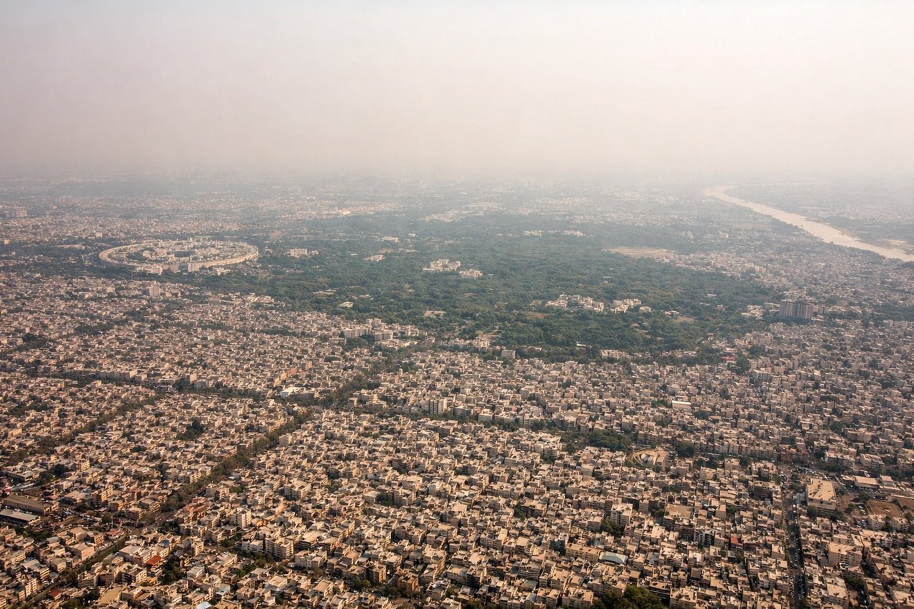
Landing at DEL
LEFTOn approach into Delhi from the south, the left side offers views of the Yamuna river and the fringes of the Aravalli ridge near Gurugram before the final turn onto the runway, giving a sense of the city's edge and terrain relief. The right side mostly shows uniform urban sprawl and agricultural plains with no distinguishing natural features.
Will your flight be in sunlight?
Pick a date and time in the Sun Map to watch the sun move across your whole flight.
About This Route
Which side of the plane should I sit on flying from Alluri Sitarama Raju International Airport (Vizag) (VTZ) to Indira Gandhi International (DEL)?
Sit on the Left side of the plane for the best views on flights from Visakhapatnam to Delhi. The left side wins narrowly thanks to the hilly, scenic departure over the Eastern Ghats and a more textured final approach into Delhi featuring the Yamuna and Aravalli terrain, while the right side is dominated by flat coastal and plains views with little variation.
What can I see during takeoff from Alluri Sitarama Raju International Airport (Vizag) in Visakhapatnam?
During takeoff from Alluri Sitarama Raju International Airport (Vizag) (VTZ), sit on the Left side for the best views. Departing Visakhapatnam, the Eastern Ghats hills rise immediately inland from the airport, giving the left side a layered view of forested ridges and the Visakhapatnam harbor as the aircraft climbs and turns onto its northwest heading. The right side mostly shows the flat Bay of Bengal coastline receding quickly into open water. Notable sights include: Eastern Ghats foothills, Visakhapatnam harbor and naval port, Kailasagiri hill, Bay of Bengal coastline.
What can I see when landing at Indira Gandhi International in Delhi?
When landing at Indira Gandhi International (DEL), sit on the Left side for the best views. On approach into Delhi from the south, the left side offers views of the Yamuna river and the fringes of the Aravalli ridge near Gurugram before the final turn onto the runway, giving a sense of the city's edge and terrain relief. The right side mostly shows uniform urban sprawl and agricultural plains with no distinguishing natural features. Notable sights include: Yamuna river, Aravalli ridge near Gurugram, Delhi urban sprawl, agricultural plains of Haryana.
How long is the flight from Visakhapatnam to Delhi?
The flight from Alluri Sitarama Raju International Airport (Vizag) (VTZ) to Indira Gandhi International (DEL) takes about 2 hours 20 minutes. The shortest flight path between them is 836 miles (1,346 km); winds and air traffic control usually add a few percent.
What does the Visakhapatnam to Delhi flight path pass over?
Eastern Ghats foothills near the coast, the flat agricultural plains of Odisha and Chhattisgarh, the Mahanadi river basin, and the Vindhya-fringed plateau of Madhya Pradesh before descending into the Indo-Gangetic plain near Delhi