Right side scores higher (3.0 vs 2.5) due to superior scenery on both legs. Departure offers the Ozark Plateau's rolling terrain and river valleys, while arrival provides the Thames estuary, Chiltern Hills, and London's suburban approach—genuine geographic variety and landmark density. Left side is dominated by flat plains during departure and open ocean during cruise, with limited visual interest.
Flown XNA to LHR? Did we get it right?
Flight Path
Fayetteville/Springdale/Rogers to London is 4,462 miles (7,181 km), a flight of about 8 hours 15 minutes.
Appalachian Mountains (eastern Tennessee and Kentucky ridges), Atlantic coastline near Newfoundland, Irish Sea, Welsh coastline and Snowdonia Mountains, English Midlands industrial belt
Great circle distance and headings ›


Phase by phase
Takeoff from XNA
RIGHTRight side captures the Ozark Plateau terrain immediately after departure. With typical southerly winds favoring runway 34 (northwest departure), the right wing shows the rolling forested hills and valleys of the Boston Mountains, part of the Ozark uplift, which provide immediate visual interest over the flat plains visible to the left.
Landing at LHR
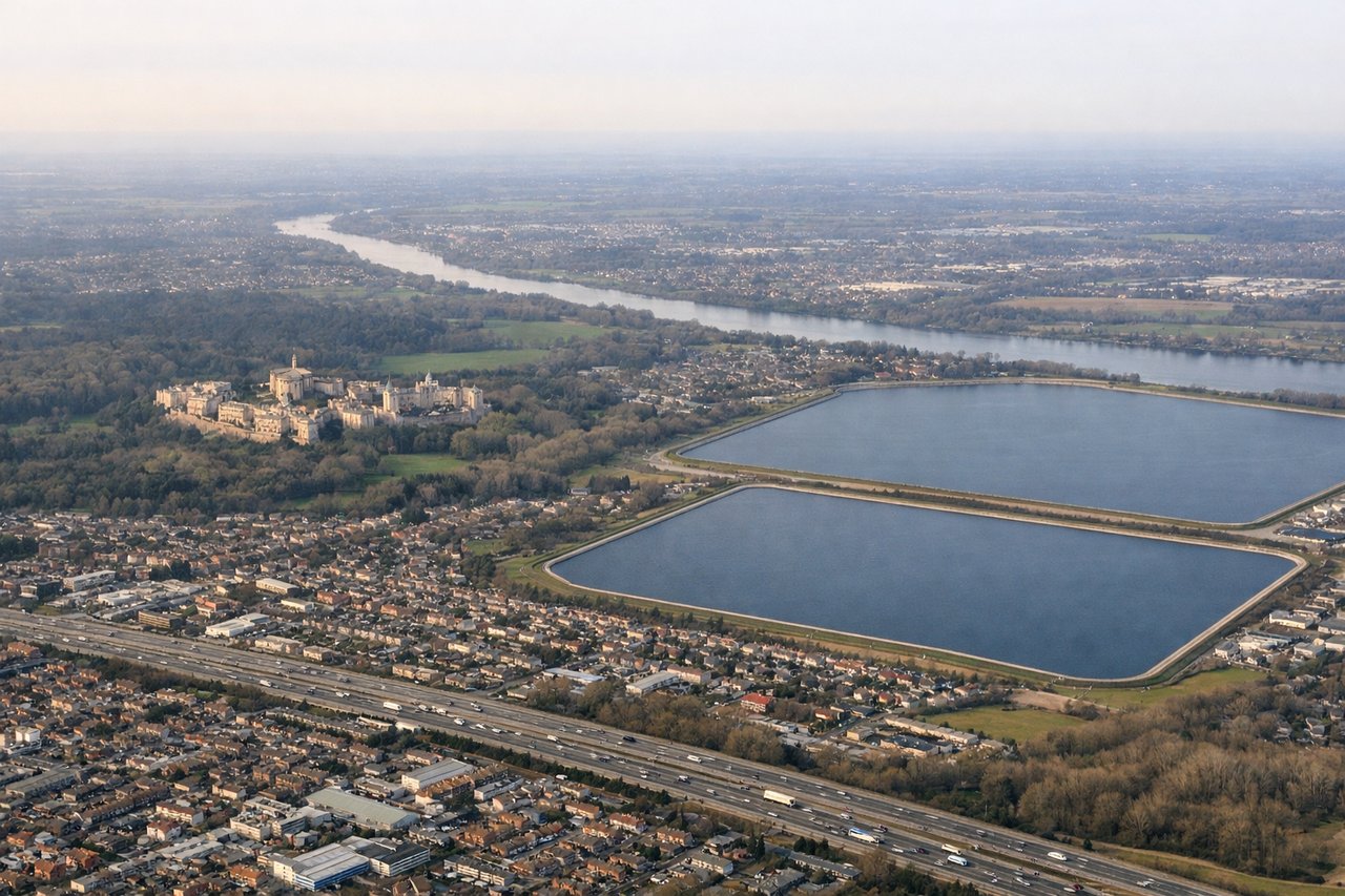
RIGHTRight side (north) offers superior approach scenery at Heathrow. With westerly operations (70% of the time), aircraft descend from the northeast and turn south for landing on 27L/27R. The right side shows the Thames estuary, London's northern suburbs, and the approach corridor over the Chiltern Hills, providing urban and water features. Easterly operations reverse this, but westerly is the dominant pattern.
Will your flight be in sunlight?
Pick a date and time in the Sun Map to watch the sun move across your whole flight.
About This Route
Which side of the plane should I sit on flying from Northwest Arkansas National Airport (XNA) to Heathrow (LHR)?
Sit on the Right side of the plane for the best views on flights from Fayetteville/Springdale/Rogers to London. Right side scores higher (3.0 vs 2.5) due to superior scenery on both legs. Departure offers the Ozark Plateau's rolling terrain and river valleys, while arrival provides the Thames estuary, Chiltern Hills, and London's suburban approach—genuine geographic variety and landmark density. Left side is dominated by flat plains during departure and open ocean during cruise, with limited visual interest.
What can I see during takeoff from Northwest Arkansas National Airport in Fayetteville/Springdale/Rogers?
During takeoff from Northwest Arkansas National Airport (XNA), sit on the Right side for the best views. Right side captures the Ozark Plateau terrain immediately after departure. With typical southerly winds favoring runway 34 (northwest departure), the right wing shows the rolling forested hills and valleys of the Boston Mountains, part of the Ozark uplift, which provide immediate visual interest over the flat plains visible to the left. Notable sights include: Boston Mountains (Ozark Plateau), Illinois River valley, Beaver Lake reservoir.
What can I see when landing at Heathrow in London?
When landing at Heathrow (LHR), sit on the Right side for the best views. Right side (north) offers superior approach scenery at Heathrow. With westerly operations (70% of the time), aircraft descend from the northeast and turn south for landing on 27L/27R. The right side shows the Thames estuary, London's northern suburbs, and the approach corridor over the Chiltern Hills, providing urban and water features. Easterly operations reverse this, but westerly is the dominant pattern. Notable sights include: Thames estuary and tidal flats, Chiltern Hills, London's northern suburbs and orbital motorways, Heathrow's approach corridor over West London.
How long is the flight from Fayetteville/Springdale/Rogers to London?
The flight from Northwest Arkansas National Airport (XNA) to Heathrow (LHR) takes about 8 hours 15 minutes. The shortest flight path between them is 4,462 miles (7,181 km); winds and air traffic control usually add a few percent.
What does the Fayetteville/Springdale/Rogers to London flight path pass over?
Appalachian Mountains (eastern Tennessee and Kentucky ridges), Atlantic coastline near Newfoundland, Irish Sea, Welsh coastline and Snowdonia Mountains, English Midlands industrial belt