While landing favors the left, the takeoff experience from Edmonton is more visually distinctive with the river valley and urban geography. The flight path itself crosses relatively featureless prairie and boreal forest, making the departure views the highlight of the journey.
Flown YEG to CUN? Did we get it right?
Flight Path
Edmonton to Cancun is 2,638 miles (4,246 km), a flight of about 5 hours.
The flight path crosses the Canadian Shield and boreal forest of central Canada, then transitions over the Great Plains of the central United States. Notable features include the Saskatchewan prairie (flat, agricultural), the Missouri River valley in the central US (visible as a darker line during cruise), and the transition into the Gulf of Mexico basin. The Yucatan Peninsula's distinctive flat limestone platform becomes visible about 30-40 minutes before landing, with its characteristic lack of surface water and dense vegetation cover.
Great circle distance and headings ›Phase by phase
Takeoff from YEG
RIGHTEdmonton International typically departs to the north or northeast. Right-side seats offer views of the North Saskatchewan River valley and the city's northern sprawl before climbing over the Canadian Shield. Left seats face inland prairie with fewer distinctive features.
Landing at CUN
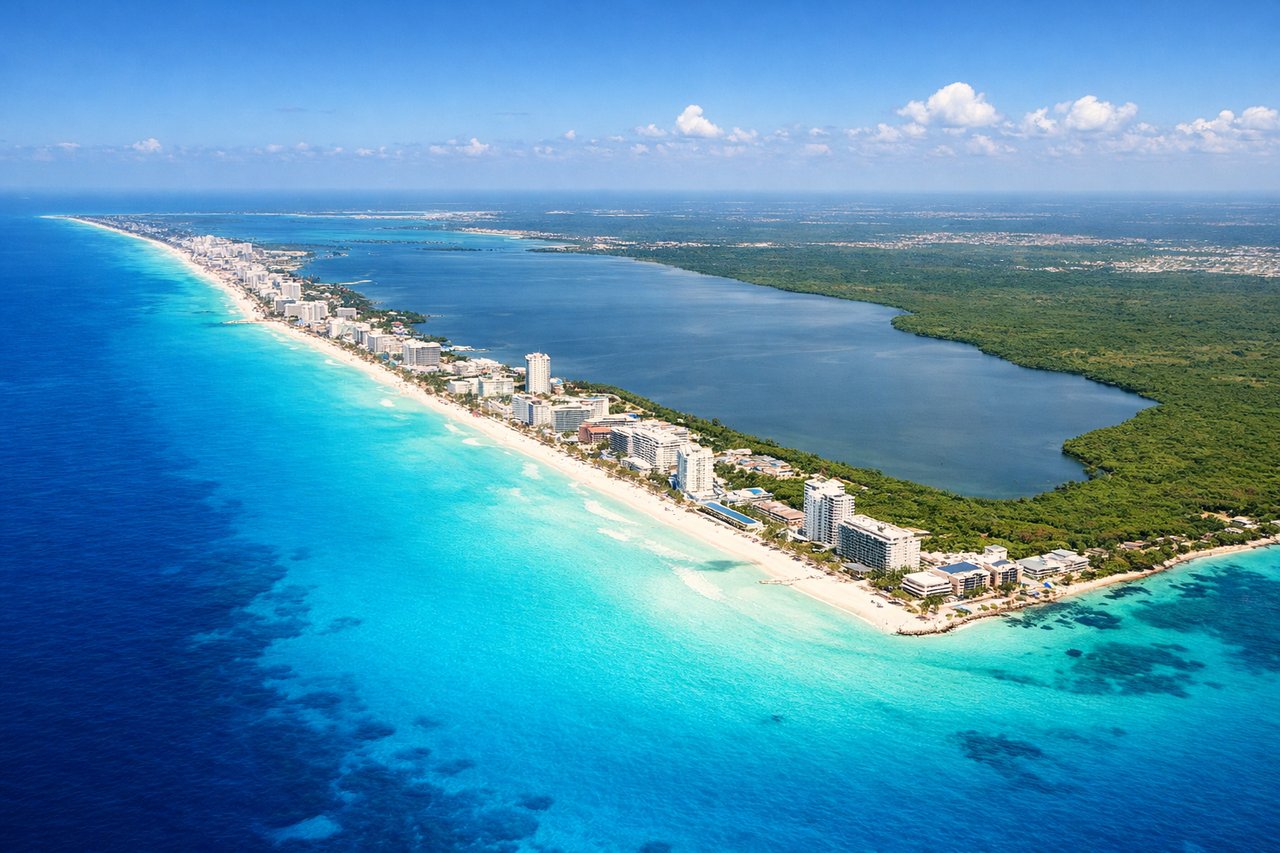
LEFTCancun International typically lands from the north or northeast on runways 30 or 31. Left-side seats provide excellent views of the Caribbean Sea, the Yucatan Peninsula's distinctive turquoise shallow waters, and the barrier reef system. Right seats face inland jungle with minimal visual interest.
Will your flight be in sunlight?
Pick a date and time in the Sun Map to watch the sun move across your whole flight.
About This Route
Which side of the plane should I sit on flying from Edmonton International (YEG) to Cancun International (CUN)?
Sit on the Right side of the plane for the best views on flights from Edmonton to Cancun. While landing favors the left, the takeoff experience from Edmonton is more visually distinctive with the river valley and urban geography. The flight path itself crosses relatively featureless prairie and boreal forest, making the departure views the highlight of the journey.
What can I see during takeoff from Edmonton International in Edmonton?
During takeoff from Edmonton International (YEG), sit on the Right side for the best views. Edmonton International typically departs to the north or northeast. Right-side seats offer views of the North Saskatchewan River valley and the city's northern sprawl before climbing over the Canadian Shield. Left seats face inland prairie with fewer distinctive features. Notable sights include: North Saskatchewan River (visible as a dark ribbon through the river valley), Edmonton city grid and downtown core, Beaver Lake to the northeast, transition from urban area to boreal forest.
What can I see when landing at Cancun International in Cancun?
When landing at Cancun International (CUN), sit on the Left side for the best views. Cancun International typically lands from the north or northeast on runways 30 or 31. Left-side seats provide excellent views of the Caribbean Sea, the Yucatan Peninsula's distinctive turquoise shallow waters, and the barrier reef system. Right seats face inland jungle with minimal visual interest. Notable sights include: Caribbean Sea with turquoise shallow water gradients, Cancun's hotel zone along the coast, Yucatan Peninsula's flat limestone terrain, barrier reef system visible as darker lines in the water.
How long is the flight from Edmonton to Cancun?
The flight from Edmonton International (YEG) to Cancun International (CUN) takes about 5 hours. The shortest flight path between them is 2,638 miles (4,246 km); winds and air traffic control usually add a few percent.
What does the Edmonton to Cancun flight path pass over?
The flight path crosses the Canadian Shield and boreal forest of central Canada, then transitions over the Great Plains of the central United States. Notable features include the Saskatchewan prairie (flat, agricultural), the Missouri River valley in the central US (visible as a darker line during cruise), and the transition into the Gulf of Mexico basin. The Yucatan Peninsula's distinctive flat limestone platform becomes visible about 30-40 minutes before landing, with its characteristic lack of surface water and dense vegetation cover.