The right side captures the most distinctive scenery of the trip: the Olympic Mountains and island-studded straits near Victoria at takeoff, glimpses of the Canadian Rockies' front ranges over southern Alberta during cruise, and Toronto's skyline over Lake Ontario on approach. The left side is dominated by featureless prairie and northern Ontario forest for most of the flight.
Flown YYJ to YYZ? Did we get it right?
Flight Path
Victoria to Toronto is 2,094 miles (3,371 km), a flight of about 4 hours 45 minutes.
Rocky Mountain front ranges near the BC-Alberta border, the Alberta foothills and prairies, farmland of Saskatchewan and Manitoba, and the boreal forest and lake country of northern Ontario near Lake Superior's north shore
Great circle distance and headings ›


Phase by phase
Takeoff from YYJ
RIGHTClimbing out of Victoria on an eastbound track, the right side looks south across the Strait of Juan de Fuca toward the snow-capped Olympic Mountains and the San Juan Islands, a striking contrast of water and peaks. The left side mainly shows the Gulf Islands and Strait of Georgia, pleasant but less dramatic.
Landing at YYZ
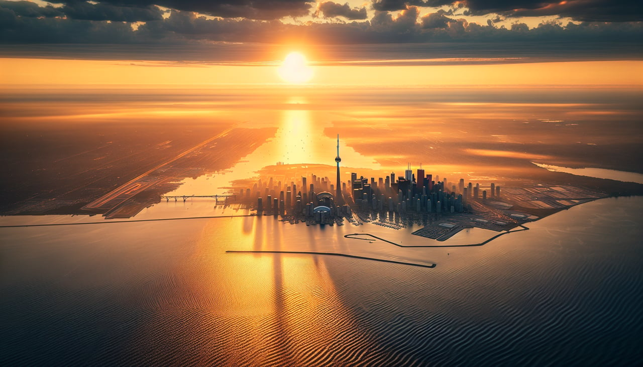
RIGHTOn approach into Pearson from the west, the right side offers views over the northern shore of Lake Ontario with downtown Toronto's skyline and the CN Tower visible in the distance before the turn onto final. The left side mostly shows flat suburban sprawl of the Greater Toronto Area with no strong landmarks.
Will your flight be in sunlight?
Pick a date and time in the Sun Map to watch the sun move across your whole flight.
About This Route
Which side of the plane should I sit on flying from Victoria International (YYJ) to Lester B Pearson International (YYZ)?
Sit on the Right side of the plane for the best views on flights from Victoria to Toronto. The right side captures the most distinctive scenery of the trip: the Olympic Mountains and island-studded straits near Victoria at takeoff, glimpses of the Canadian Rockies' front ranges over southern Alberta during cruise, and Toronto's skyline over Lake Ontario on approach. The left side is dominated by featureless prairie and northern Ontario forest for most of the flight.
What can I see during takeoff from Victoria International in Victoria?
During takeoff from Victoria International (YYJ), sit on the Right side for the best views. Climbing out of Victoria on an eastbound track, the right side looks south across the Strait of Juan de Fuca toward the snow-capped Olympic Mountains and the San Juan Islands, a striking contrast of water and peaks. The left side mainly shows the Gulf Islands and Strait of Georgia, pleasant but less dramatic. Notable sights include: Olympic Mountains, Strait of Juan de Fuca, San Juan Islands, Saanich Peninsula coastline.
What can I see when landing at Lester B Pearson International in Toronto?
When landing at Lester B Pearson International (YYZ), sit on the Right side for the best views. On approach into Pearson from the west, the right side offers views over the northern shore of Lake Ontario with downtown Toronto's skyline and the CN Tower visible in the distance before the turn onto final. The left side mostly shows flat suburban sprawl of the Greater Toronto Area with no strong landmarks. Notable sights include: Lake Ontario shoreline, downtown Toronto skyline, CN Tower, Toronto Islands.
How long is the flight from Victoria to Toronto?
The flight from Victoria International (YYJ) to Lester B Pearson International (YYZ) takes about 4 hours 45 minutes. The shortest flight path between them is 2,094 miles (3,371 km); winds and air traffic control usually add a few percent.
What does the Victoria to Toronto flight path pass over?
Rocky Mountain front ranges near the BC-Alberta border, the Alberta foothills and prairies, farmland of Saskatchewan and Manitoba, and the boreal forest and lake country of northern Ontario near Lake Superior's north shore