Aomori to Taipei is 1,544 miles (2,485 km), a flight of about 3 hours.
While takeoff offers dramatic mountain views, the landing approach into Taipei provides more consistent and iconic visual rewards—Taipei 101, the basin's urban geometry, and the Xueshan Range are all clearly visible and photogenic. Left seats capture these features directly.
Flight Path
The flight path crosses the East China Sea at roughly 30°N, 125°E. The Ryukyu Islands (Okinawa chain) lie to the east of the direct route but are not typically visible. The flight passes over open ocean with no significant landmarks visible from cruise altitude. As you approach Taiwan, the Babuyan Channel (between Taiwan and the Philippines) lies to the south. The northern coast of Taiwan becomes visible around 50 miles out, with the Yangmingshan volcanic plateau and Taipei Basin appearing as you descend toward Sungshan.
Great circle distance and headings ›Phase by phase
Takeoff from AOJ
RIGHTAomori typically departs runway 09 (westbound). Right-side seats face north over Aomori Bay and the Tsugaru Strait, offering views of the Hakkoda Mountains and the Shimokita Peninsula's rugged coastline as you climb.
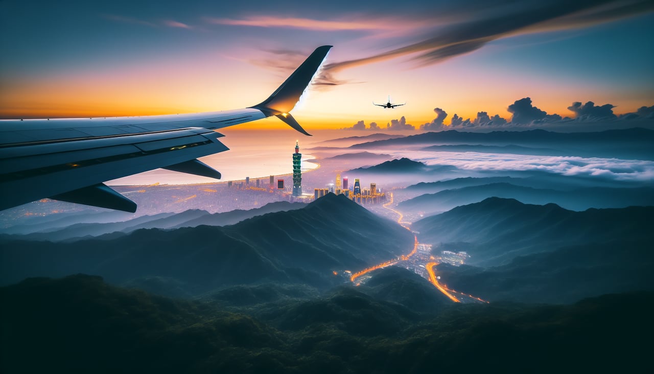
Landing at TSA
LEFTSungshan (TSA) uses runway 10 for most arrivals. Left-side seats on approach face south and southwest, giving direct views of Taipei 101, the Taipei Basin's urban grid, and the Xueshan Range (Snow Mountain) rising dramatically to the south.
Will your flight be in sunlight?
Pick a date and time in the Sun Map to watch the sun move across your whole flight.
About This Route
Which side of the plane should I sit on flying from Aomori (AOJ) to Sungshan (TSA)?
Sit on the Left side of the plane for the best views on flights from Aomori to Taipei. While takeoff offers dramatic mountain views, the landing approach into Taipei provides more consistent and iconic visual rewards—Taipei 101, the basin's urban geometry, and the Xueshan Range are all clearly visible and photogenic. Left seats capture these features directly.
What can I see during takeoff from Aomori in Aomori?
During takeoff from Aomori (AOJ), sit on the Right side for the best views. Aomori typically departs runway 09 (westbound). Right-side seats face north over Aomori Bay and the Tsugaru Strait, offering views of the Hakkoda Mountains and the Shimokita Peninsula's rugged coastline as you climb. Notable sights include: Aomori Bay (immediate offshore), Hakkoda Mountains (snow-capped range to the south), Shimokita Peninsula (narrow landmass extending northeast), Tsugaru Strait (water passage between Honshu and Hokkaido visible to the north).
What can I see when landing at Sungshan in Taipei?
When landing at Sungshan (TSA), sit on the Left side for the best views. Sungshan (TSA) uses runway 10 for most arrivals. Left-side seats on approach face south and southwest, giving direct views of Taipei 101, the Taipei Basin's urban grid, and the Xueshan Range (Snow Mountain) rising dramatically to the south. Notable sights include: Taipei 101 (distinctive supertall tower in central Taipei), Taipei Basin urban sprawl (dense grid of buildings), Xueshan Range (major mountain ridge to the south), Tamsui River (winding waterway through the city).
How long is the flight from Aomori to Taipei?
The flight from Aomori (AOJ) to Sungshan (TSA) takes about 3 hours. The shortest flight path between them is 1,544 miles (2,485 km); winds and air traffic control usually add a few percent.
What does the Aomori to Taipei flight path pass over?
The flight path crosses the East China Sea at roughly 30°N, 125°E. The Ryukyu Islands (Okinawa chain) lie to the east of the direct route but are not typically visible. The flight passes over open ocean with no significant landmarks visible from cruise altitude. As you approach Taiwan, the Babuyan Channel (between Taiwan and the Philippines) lies to the south. The northern coast of Taiwan becomes visible around 50 miles out, with the Yangmingshan volcanic plateau and Taipei Basin appearing as you descend toward Sungshan.