The right side offers the most consistent scenery across the flight: a glimpse of Atlanta's skyline on departure, intermittent views of Eastern Seaboard cities and coastline early in the route, and a scenic swing past the Taunus hills and Frankfurt's skyline on arrival, while the left side is dominated by featureless interior terrain and open ocean.
Flight Path
Several hours of open North Atlantic Ocean with no land; on clear days the rugged Newfoundland coast and, further along, the southern tip of Greenland's glaciated coastline may be visible off the north (left) side before the route continues toward Ireland and the European mainland.
Great circle distance and headings ›.jpeg?width=600)
.jpg?width=600)


Phase by phase

Takeoff from ATL
RIGHTDeparting ATL and turning onto the northeast heading toward the Atlantic, the right side catches a brief view of downtown Atlanta's skyline and the rolling Piedmont terrain, while the left side looks out over flatter suburban sprawl and pine forest with little to distinguish it.
Landing at FRA
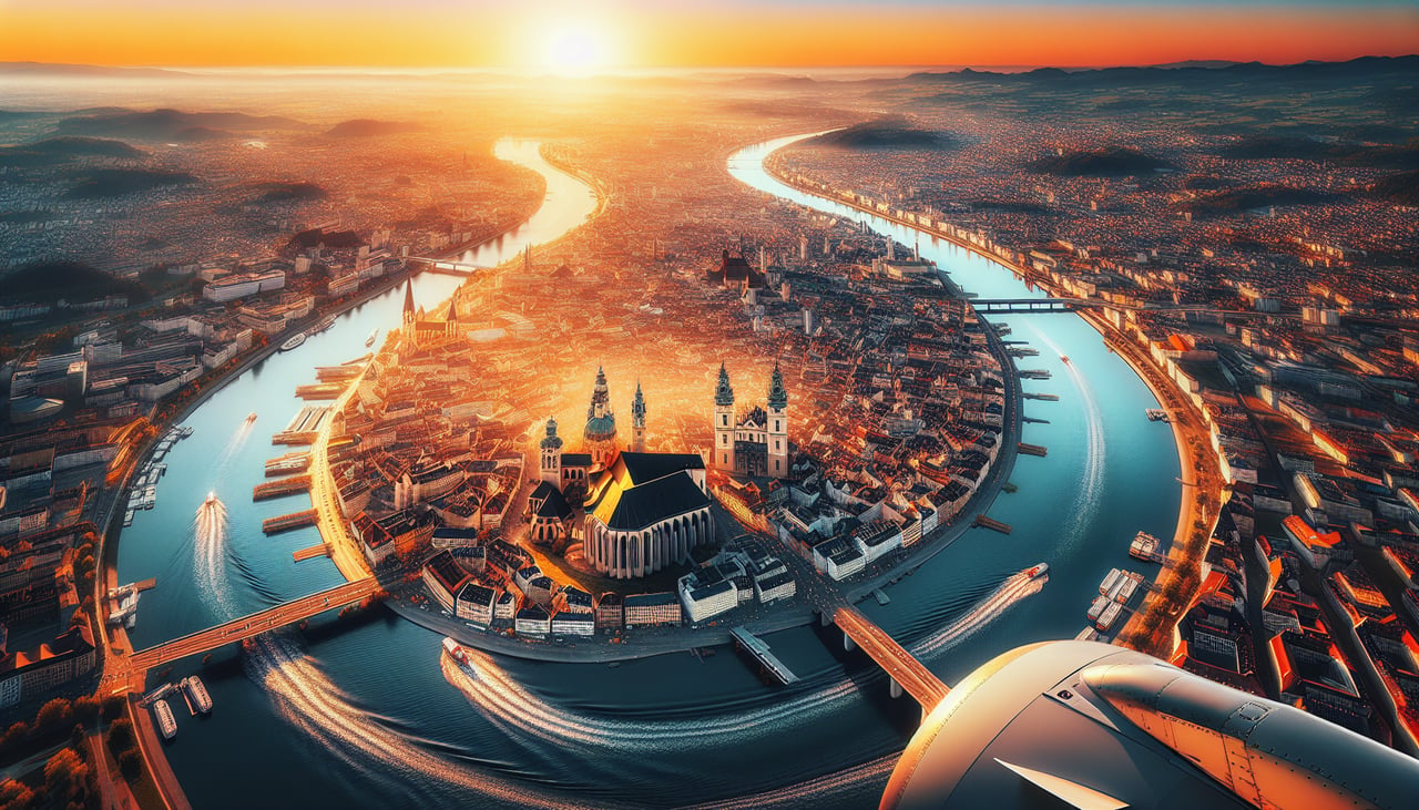
RIGHTOn the typical westerly-flow approach into FRA, arriving aircraft are vectored around to land on the '25' runways, swinging over the Taunus hills and Rhine-Main plain before turning final, which puts Frankfurt's compact skyscraper skyline and the Main River in view on the right side. The left side mostly shows flat farmland with fewer recognizable features.
Landmarks on this routeAll landmarks →
Will your flight be in sunlight?
See exactly which side of the plane gets sun and shade at your departure time.
About This Route
Which side of the plane should I sit on flying from The William B Hartsfield Atlanta International (ATL) to Frankfurt Main (FRA)?
Sit on the Right side of the plane for the best views on flights from Atlanta to Frankfurt. The right side offers the most consistent scenery across the flight: a glimpse of Atlanta's skyline on departure, intermittent views of Eastern Seaboard cities and coastline early in the route, and a scenic swing past the Taunus hills and Frankfurt's skyline on arrival, while the left side is dominated by featureless interior terrain and open ocean.
What can I see during takeoff from The William B Hartsfield Atlanta International in Atlanta?
During takeoff from The William B Hartsfield Atlanta International (ATL), sit on the Right side for the best views. Departing ATL and turning onto the northeast heading toward the Atlantic, the right side catches a brief view of downtown Atlanta's skyline and the rolling Piedmont terrain, while the left side looks out over flatter suburban sprawl and pine forest with little to distinguish it. Notable sights include: Atlanta downtown skyline, Chattahoochee River, Piedmont rolling hills, distant Blue Ridge foothills on the horizon.
What can I see when landing at Frankfurt Main in Frankfurt?
When landing at Frankfurt Main (FRA), sit on the Right side for the best views. On the typical westerly-flow approach into FRA, arriving aircraft are vectored around to land on the '25' runways, swinging over the Taunus hills and Rhine-Main plain before turning final, which puts Frankfurt's compact skyscraper skyline and the Main River in view on the right side. The left side mostly shows flat farmland with fewer recognizable features. Notable sights include: Frankfurt skyline (Commerzbank Tower, Messeturm), Main River, Taunus hills, Rhine-Main plain farmland.
How long is the flight from Atlanta to Frankfurt?
The flight from The William B Hartsfield Atlanta International (ATL) to Frankfurt Main (FRA) takes 8h 50m.
What does the Atlanta to Frankfurt flight path pass over?
Several hours of open North Atlantic Ocean with no land; on clear days the rugged Newfoundland coast and, further along, the southern tip of Greenland's glaciated coastline may be visible off the north (left) side before the route continues toward Ireland and the European mainland.