The right side offers consistent views of the Blue Ridge and Great Smoky Mountains during both departure and arrival, while the left side remains flat and unremarkable throughout this short flight.
Flown ATL to TYS? Did we get it right?
Flight Path
Atlanta to Knoxville is 152 miles (245 km), a flight of about 55 minutes.
North Georgia foothills transitioning into the Tennessee Valley near Chattanooga, with the Blue Ridge Mountains visible to the east along the route.
Great circle distance and headings ›Phase by phase
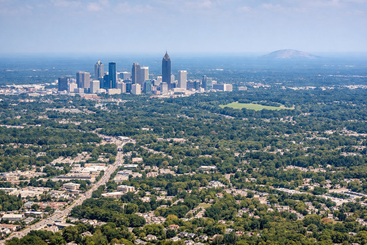
Takeoff from ATL
RIGHTDeparting ATL and turning north, the right side faces east toward the North Georgia foothills and the beginnings of the Blue Ridge Mountains near Dahlonega, giving some relief from the otherwise flat Piedmont terrain. The left side only shows the flat suburban sprawl west of Atlanta.
Landing at TYS
RIGHTOn approach into TYS from the south, the right side of the aircraft faces southeast toward the Great Smoky Mountains, offering passengers a dramatic mountain backdrop as the plane descends into the Tennessee Valley. The left side shows only the flatter valley floor and Knoxville's outskirts.
Will your flight be in sunlight?
Pick a date and time in the Sun Map to watch the sun move across your whole flight.
About This Route
Which side of the plane should I sit on flying from The William B Hartsfield Atlanta International (ATL) to Mc Ghee Tyson (TYS)?
Sit on the Right side of the plane for the best views on flights from Atlanta to Knoxville. The right side offers consistent views of the Blue Ridge and Great Smoky Mountains during both departure and arrival, while the left side remains flat and unremarkable throughout this short flight.
What can I see during takeoff from The William B Hartsfield Atlanta International in Atlanta?
During takeoff from The William B Hartsfield Atlanta International (ATL), sit on the Right side for the best views. Departing ATL and turning north, the right side faces east toward the North Georgia foothills and the beginnings of the Blue Ridge Mountains near Dahlonega, giving some relief from the otherwise flat Piedmont terrain. The left side only shows the flat suburban sprawl west of Atlanta. Notable sights include: North Georgia foothills, Blue Ridge Mountains skyline, Chattahoochee National Forest.
What can I see when landing at Mc Ghee Tyson in Knoxville?
When landing at Mc Ghee Tyson (TYS), sit on the Right side for the best views. On approach into TYS from the south, the right side of the aircraft faces southeast toward the Great Smoky Mountains, offering passengers a dramatic mountain backdrop as the plane descends into the Tennessee Valley. The left side shows only the flatter valley floor and Knoxville's outskirts. Notable sights include: Great Smoky Mountains, Tennessee River valley, Knoxville outskirts.
How long is the flight from Atlanta to Knoxville?
The flight from The William B Hartsfield Atlanta International (ATL) to Mc Ghee Tyson (TYS) takes about 55 minutes. The shortest flight path between them is 152 miles (245 km); winds and air traffic control usually add a few percent.
What does the Atlanta to Knoxville flight path pass over?
North Georgia foothills transitioning into the Tennessee Valley near Chattanooga, with the Blue Ridge Mountains visible to the east along the route.