While takeoff offers Hill Country and water views, the landing descent into Burbank provides more dramatic and visually distinctive scenery with the San Gabriel Mountains and basin topography. Right seats capture the best of the approach.
Flown AUS to BUR? Did we get it right?
Flight Path
Austin to Burbank is 1,239 miles (1,994 km), a flight of about 3 hours 15 minutes.
Pecos River valley and Davis Mountains (West Texas), Rio Grande (visible near El Paso area if flight passes south), Chihuahuan Desert terrain, transition into Arizona's high desert plateau, Colorado River canyon country (northern Arizona), Mojave Desert (southern California), San Bernardino Mountains (eastern approach to Los Angeles basin)
Great circle distance and headings ›

Phase by phase
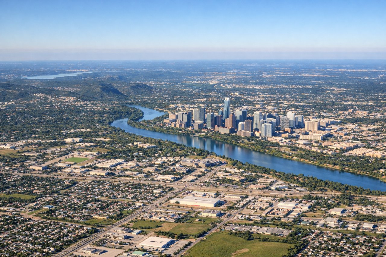
Takeoff from AUS
LEFTLeft seats offer views of the Colorado River and Hill Country terrain as the aircraft climbs westward. Right seats face inland toward flat central Texas with minimal visual interest during initial climb.
Landing at BUR
RIGHTRight seats provide excellent views of the San Gabriel Mountains and the Los Angeles basin during descent into Burbank. Left seats face the Pacific Ocean and coastal haze with less distinctive terrain detail.
Will your flight be in sunlight?
Pick a date and time in the Sun Map to watch the sun move across your whole flight.
About This Route
Which side of the plane should I sit on flying from Austin Bergstrom International (AUS) to Burbank Glendale Pasadena (BUR)?
Sit on the Right side of the plane for the best views on flights from Austin to Burbank. While takeoff offers Hill Country and water views, the landing descent into Burbank provides more dramatic and visually distinctive scenery with the San Gabriel Mountains and basin topography. Right seats capture the best of the approach.
What can I see during takeoff from Austin Bergstrom International in Austin?
During takeoff from Austin Bergstrom International (AUS), sit on the Left side for the best views. Left seats offer views of the Colorado River and Hill Country terrain as the aircraft climbs westward. Right seats face inland toward flat central Texas with minimal visual interest during initial climb. Notable sights include: Colorado River (visible as a winding waterway southeast of the airport), Hill Country limestone ridges (rolling terrain to the west and northwest), Lake Travis (large reservoir visible to the northwest during climb-out).
What can I see when landing at Burbank Glendale Pasadena in Burbank?
When landing at Burbank Glendale Pasadena (BUR), sit on the Right side for the best views. Right seats provide excellent views of the San Gabriel Mountains and the Los Angeles basin during descent into Burbank. Left seats face the Pacific Ocean and coastal haze with less distinctive terrain detail. Notable sights include: San Gabriel Mountains (prominent snow-capped peaks to the northeast and east), Los Angeles basin sprawl (urban grid visible across the valley floor), Verdugo Mountains (smaller range immediately north of Burbank airport).
How long is the flight from Austin to Burbank?
The flight from Austin Bergstrom International (AUS) to Burbank Glendale Pasadena (BUR) takes about 3 hours 15 minutes. The shortest flight path between them is 1,239 miles (1,994 km); winds and air traffic control usually add a few percent.
What does the Austin to Burbank flight path pass over?
Pecos River valley and Davis Mountains (West Texas), Rio Grande (visible near El Paso area if flight passes south), Chihuahuan Desert terrain, transition into Arizona's high desert plateau, Colorado River canyon country (northern Arizona), Mojave Desert (southern California), San Bernardino Mountains (eastern approach to Los Angeles basin)