While takeoff offers brief scenic value, the landing approach into Lima provides far superior views. The combination of the Andes Mountains, Pacific coastline, and Lima's dramatic coastal setting makes left-side seats the clear winner for the overall flight experience.
Flight Path
The flight path crosses southern Mexico and Central America, passing over the Yucatan Peninsula (limestone karst terrain and cenotes visible), then continues over the Gulf of Mexico and Caribbean waters. As the aircraft approaches Central America, the Sierra Madre mountain ranges become visible in Guatemala and Honduras. The route then crosses into South America, passing over Nicaragua and Costa Rica where volcanic peaks and rainforest terrain dominate. Over Colombia, the Andes begin to rise significantly. The western Colombian Andes and the Cauca Valley are visible before the aircraft descends toward the Peruvian coast.
Great circle distance and headings ›Phase by phase
Takeoff from AUS
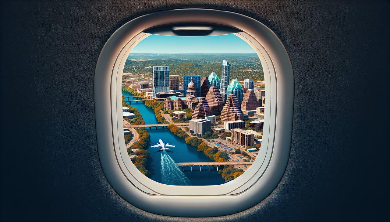
RIGHTRight-side seats capture the Colorado River and the Hill Country terrain as the aircraft climbs southwestward out of Austin. You'll see the river's meandering path and the rolling limestone hills that define the landscape immediately west of the airport.
Landing at LIM
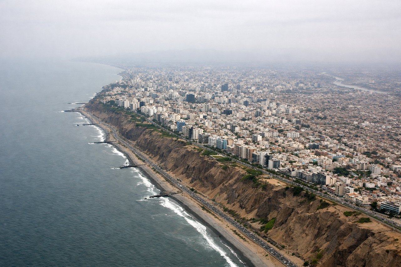
LEFTLeft-side seats offer the best views during descent into Lima. You'll see the Andes Mountains rising dramatically to the east and the Pacific coastline with the city sprawling along the coast. The contrast between the high desert mountains and the ocean is striking.
Will your flight be in sunlight?
See exactly which side of the plane gets sun and shade at your departure time.
About This Route
Which side of the plane should I sit on flying from Austin Bergstrom International (AUS) to Jorge Chávez International Airport (LIM)?
Sit on the Left side of the plane for the best views on flights from Austin to Lima. While takeoff offers brief scenic value, the landing approach into Lima provides far superior views. The combination of the Andes Mountains, Pacific coastline, and Lima's dramatic coastal setting makes left-side seats the clear winner for the overall flight experience.
What can I see during takeoff from Austin Bergstrom International in Austin?
During takeoff from Austin Bergstrom International (AUS), sit on the Right side for the best views. Right-side seats capture the Colorado River and the Hill Country terrain as the aircraft climbs southwestward out of Austin. You'll see the river's meandering path and the rolling limestone hills that define the landscape immediately west of the airport. Notable sights include: Colorado River, Hill Country limestone ridges, Lake Travis (northwest), downtown Austin skyline (briefly to the left).
What can I see when landing at Jorge Chávez International Airport in Lima?
When landing at Jorge Chávez International Airport (LIM), sit on the Left side for the best views. Left-side seats offer the best views during descent into Lima. You'll see the Andes Mountains rising dramatically to the east and the Pacific coastline with the city sprawling along the coast. The contrast between the high desert mountains and the ocean is striking. Notable sights include: Andes Mountains (eastern horizon), Pacific Ocean coastline, Lima urban sprawl along the coast, Rimac River valley.
How long is the flight from Austin to Lima?
The flight from Austin Bergstrom International (AUS) to Jorge Chávez International Airport (LIM) takes Approximately 4 hours 45 minutes to 5 hours 15 minutes.
What does the Austin to Lima flight path pass over?
The flight path crosses southern Mexico and Central America, passing over the Yucatan Peninsula (limestone karst terrain and cenotes visible), then continues over the Gulf of Mexico and Caribbean waters. As the aircraft approaches Central America, the Sierra Madre mountain ranges become visible in Guatemala and Honduras. The route then crosses into South America, passing over Nicaragua and Costa Rica where volcanic peaks and rainforest terrain dominate. Over Colombia, the Andes begin to rise significantly. The western Colombian Andes and the Cauca Valley are visible before the aircraft descends toward the Peruvian coast.