Seattle to Sitka is 856 miles (1,377 km), a flight of about 2 hours 20 minutes.
The takeoff climb provides superior scenery with Mount Rainier and the Cascade Range as iconic landmarks. While the landing approach offers coastal beauty, the northbound departure offers more dramatic and recognizable geography.
Flight Path
The flight path northbound follows the Inside Passage corridor. Notable features include the San Juan Islands (scattered islands and waterways visible mid-flight), the Strait of Georgia/Puget Sound transition, and the heavily forested coastal ranges of British Columbia. The route crosses from temperate lowlands into the Alaska panhandle's rugged, glacier-carved terrain with countless islands, narrow waterways, and dense old-growth forest. Glaciers may be visible on higher peaks depending on season and altitude. The landscape transitions from populated Puget Sound region to increasingly remote, wilderness coastline.
Great circle distance and headings ›

Phase by phase
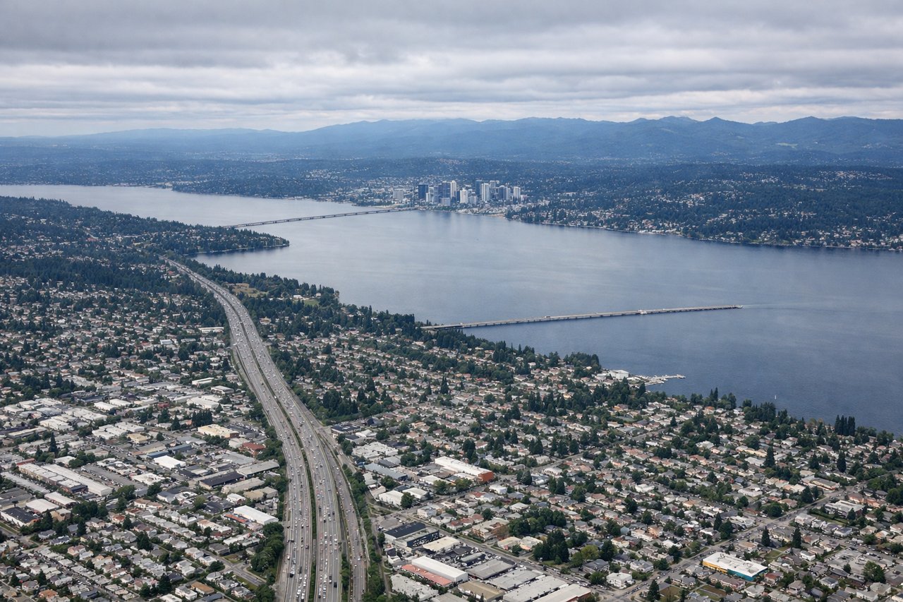
Takeoff from BFI
LEFTLeft side offers immediate views of the Cascade Range and Mount Rainier during northbound climb-out from Seattle-Tacoma area. Right side faces the populated Puget Sound lowlands with less dramatic terrain.
Landing at SIT
RIGHTRight side provides views of Baranof Island's rugged terrain, Sitka Sound, and the approach to Sitka's coastal setting. Left side faces open water and distant peaks with less distinctive local geography.
Landmarks on this routeAll landmarks →
Will your flight be in sunlight?
Pick a date and time in the Sun Map to watch the sun move across your whole flight.
About This Route
Which side of the plane should I sit on flying from Boeing Fld King Co International (BFI) to Sitka Rocky Gutierrez (SIT)?
Sit on the Left side of the plane for the best views on flights from Seattle to Sitka. The takeoff climb provides superior scenery with Mount Rainier and the Cascade Range as iconic landmarks. While the landing approach offers coastal beauty, the northbound departure offers more dramatic and recognizable geography.
What can I see during takeoff from Boeing Fld King Co International in Seattle?
During takeoff from Boeing Fld King Co International (BFI), sit on the Left side for the best views. Left side offers immediate views of the Cascade Range and Mount Rainier during northbound climb-out from Seattle-Tacoma area. Right side faces the populated Puget Sound lowlands with less dramatic terrain. Notable sights include: Mount Rainier (14,411 ft, ~60 miles southeast), Cascade Range spine, Puget Sound waters, Olympic Mountains (western horizon).
What can I see when landing at Sitka Rocky Gutierrez in Sitka?
When landing at Sitka Rocky Gutierrez (SIT), sit on the Right side for the best views. Right side provides views of Baranof Island's rugged terrain, Sitka Sound, and the approach to Sitka's coastal setting. Left side faces open water and distant peaks with less distinctive local geography. Notable sights include: Baranof Island (heavily forested, mountainous), Sitka Sound (protected waters), Mount Edgecumbe (extinct volcano cone, ~20 miles west), Inside Passage waterways.
How long is the flight from Seattle to Sitka?
The flight from Boeing Fld King Co International (BFI) to Sitka Rocky Gutierrez (SIT) takes about 2 hours 20 minutes. The shortest flight path between them is 856 miles (1,377 km); winds and air traffic control usually add a few percent.
What does the Seattle to Sitka flight path pass over?
The flight path northbound follows the Inside Passage corridor. Notable features include the San Juan Islands (scattered islands and waterways visible mid-flight), the Strait of Georgia/Puget Sound transition, and the heavily forested coastal ranges of British Columbia. The route crosses from temperate lowlands into the Alaska panhandle's rugged, glacier-carved terrain with countless islands, narrow waterways, and dense old-growth forest. Glaciers may be visible on higher peaks depending on season and altitude. The landscape transitions from populated Puget Sound region to increasingly remote, wilderness coastline.