The route is scenically quiet for most of its length over the flat Deccan and Gangetic plains, so the deciding factor is the dramatic Himalayan approach into Bagdogra, best seen from the right side where Kangchenjunga and the Darjeeling foothills come into view.
Flown BLR to IXB? Did we get it right?
Flight Path
Bangalore to Baghdogra is 1,158 miles (1,863 km), a flight of about 2 hours 55 minutes.
Deccan plateau, scattered reservoirs of central India, the broad Gangetic plains near the Bihar-West Bengal border
Great circle distance and headings ›Phase by phase

Takeoff from BLR
LEFTBoth sides show the flat Deccan plateau and Bangalore's sprawling tech corridors with little topographic relief. The left side gets a marginal edge from a brief glimpse of reservoirs and patchwork farmland as the aircraft turns northeast.
Landing at IXB
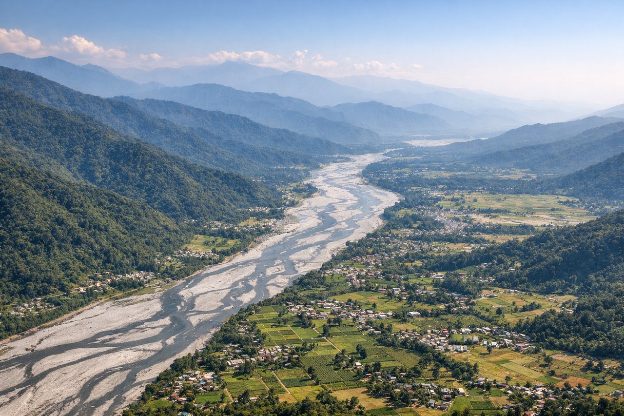
RIGHTOn the approach into Bagdogra, the aircraft lines up from the south, and the eastern side offers a striking view of the Himalayan foothills rising abruptly from the Terai plains, with Kangchenjunga's massive snow-capped bulk visible on clear days. The left side mostly faces the flatter Gangetic plains toward Bihar with no comparable relief.
Will your flight be in sunlight?
Pick a date and time in the Sun Map to watch the sun move across your whole flight.
About This Route
Which side of the plane should I sit on flying from Kempegowda International Airport Bengaluru (BLR) to Bagdogra (IXB)?
Sit on the Right side of the plane for the best views on flights from Bangalore to Baghdogra. The route is scenically quiet for most of its length over the flat Deccan and Gangetic plains, so the deciding factor is the dramatic Himalayan approach into Bagdogra, best seen from the right side where Kangchenjunga and the Darjeeling foothills come into view.
What can I see during takeoff from Kempegowda International Airport Bengaluru in Bangalore?
During takeoff from Kempegowda International Airport Bengaluru (BLR), sit on the Left side for the best views. Both sides show the flat Deccan plateau and Bangalore's sprawling tech corridors with little topographic relief. The left side gets a marginal edge from a brief glimpse of reservoirs and patchwork farmland as the aircraft turns northeast. Notable sights include: Bangalore urban sprawl, Deccan plateau farmland, scattered water tanks/reservoirs.
What can I see when landing at Bagdogra in Baghdogra?
When landing at Bagdogra (IXB), sit on the Right side for the best views. On the approach into Bagdogra, the aircraft lines up from the south, and the eastern side offers a striking view of the Himalayan foothills rising abruptly from the Terai plains, with Kangchenjunga's massive snow-capped bulk visible on clear days. The left side mostly faces the flatter Gangetic plains toward Bihar with no comparable relief. Notable sights include: Kangchenjunga massif, Darjeeling hill ridges, Terai forest belt, Teesta river valley.
How long is the flight from Bangalore to Baghdogra?
The flight from Kempegowda International Airport Bengaluru (BLR) to Bagdogra (IXB) takes about 2 hours 55 minutes. The shortest flight path between them is 1,158 miles (1,863 km); winds and air traffic control usually add a few percent.
What does the Bangalore to Baghdogra flight path pass over?
Deccan plateau, scattered reservoirs of central India, the broad Gangetic plains near the Bihar-West Bengal border