The right side offers the more dynamic sequence: glimpses of Bangalore's urban sprawl at takeoff, a chance to see the northern Sumatra coastline and Strait of Malacca shipping lanes during cruise, and the Kuala Lumpur skyline with the Petronas Towers on final approach — while the left side stays largely over featureless ocean and flat terrain.
Flown BLR to KUL? Did we get it right?
Flight Path
Bangalore to Kuala Lumpur is 1,792 miles (2,884 km), a flight of about 4 hours 15 minutes.
Bay of Bengal open water, Andaman Sea near the Nicobar Islands, northern tip of Sumatra and the Strait of Malacca shipping lanes
Great circle distance and headings ›Phase by phase
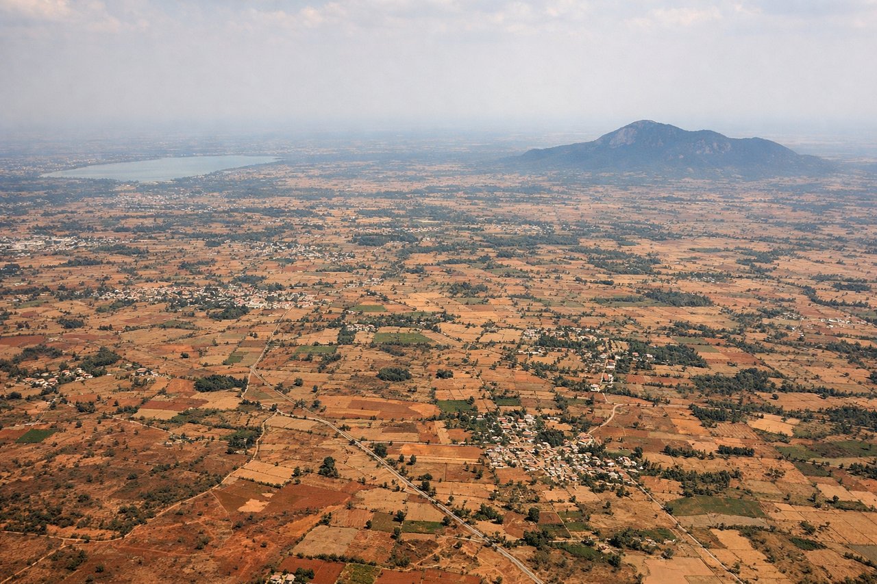
Takeoff from BLR
RIGHTDeparting BLR to the east/southeast, both sides initially show the flat Deccan plateau and Bangalore's sprawling tech-corridor suburbs, but the right side gives a slightly better look at the city's reservoirs and grid before the plane turns onto its southeast track toward the Bay of Bengal.

Landing at KUL
RIGHTOn approach into KUL from the north, the right side offers views of the Kuala Lumpur skyline in the distance, including the Petronas Towers, with the forested Titiwangsa mountain foothills as a backdrop before the aircraft descends over palm plantations near the airport.
Will your flight be in sunlight?
Pick a date and time in the Sun Map to watch the sun move across your whole flight.
About This Route
Which side of the plane should I sit on flying from Kempegowda International Airport Bengaluru (BLR) to Kuala Lumpur International (KUL)?
Sit on the Right side of the plane for the best views on flights from Bangalore to Kuala Lumpur. The right side offers the more dynamic sequence: glimpses of Bangalore's urban sprawl at takeoff, a chance to see the northern Sumatra coastline and Strait of Malacca shipping lanes during cruise, and the Kuala Lumpur skyline with the Petronas Towers on final approach — while the left side stays largely over featureless ocean and flat terrain.
What can I see during takeoff from Kempegowda International Airport Bengaluru in Bangalore?
During takeoff from Kempegowda International Airport Bengaluru (BLR), sit on the Right side for the best views. Departing BLR to the east/southeast, both sides initially show the flat Deccan plateau and Bangalore's sprawling tech-corridor suburbs, but the right side gives a slightly better look at the city's reservoirs and grid before the plane turns onto its southeast track toward the Bay of Bengal. Notable sights include: Bangalore city grid, Deccan plateau farmland, scattered reservoirs (tanks), initial turn toward the coast.
What can I see when landing at Kuala Lumpur International in Kuala Lumpur?
When landing at Kuala Lumpur International (KUL), sit on the Right side for the best views. On approach into KUL from the north, the right side offers views of the Kuala Lumpur skyline in the distance, including the Petronas Towers, with the forested Titiwangsa mountain foothills as a backdrop before the aircraft descends over palm plantations near the airport. Notable sights include: Kuala Lumpur skyline and Petronas Towers, Titiwangsa mountain foothills, oil palm plantations, KLIA terminal complex.
How long is the flight from Bangalore to Kuala Lumpur?
The flight from Kempegowda International Airport Bengaluru (BLR) to Kuala Lumpur International (KUL) takes about 4 hours 15 minutes. The shortest flight path between them is 1,792 miles (2,884 km); winds and air traffic control usually add a few percent.
What does the Bangalore to Kuala Lumpur flight path pass over?
Bay of Bengal open water, Andaman Sea near the Nicobar Islands, northern tip of Sumatra and the Strait of Malacca shipping lanes