Bogota to Asuncion is 2,351 miles (3,783 km), a flight of about 4 hours.
While takeoff favors the right for Andean views, the landing approach over the Paraná River on the left is more visually distinctive and occupies a longer portion of the descent. The river's dramatic meanders and oxbow lakes are more striking than the plateau terrain during climb-out.
Flight Path
The flight path crosses the Colombian-Venezuelan border region, then descends over the Llanos Orientales (eastern plains) of Colombia and Venezuela—a vast, flat savanna landscape with scattered rivers and forest patches. As the aircraft moves south into Brazil and Paraguay, the terrain transitions to the Cerrado (tropical savanna) and then to the Paraná River basin. The most notable midpoint feature is the Guaviare River valley in southeastern Colombia, visible as a dark green ribbon cutting through lighter savanna. Further south, the flight passes over the Mato Grosso do Sul region of Brazil, characterized by rolling plateaus and scattered forest reserves. No major mountain ranges are visible during the cruise phase—the landscape is predominantly low-relief savanna and forest.
Great circle distance and headings ›Phase by phase
Takeoff from BOG
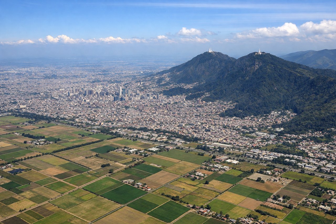
RIGHTRight-side seats offer views of the Cordillera Oriental (Eastern Range) of the Colombian Andes as the aircraft climbs eastward from Bogotá. The mountains rise dramatically from the high plateau, creating a striking visual contrast. Left side faces the city and western plateau with less dramatic terrain.
Landing at ASU
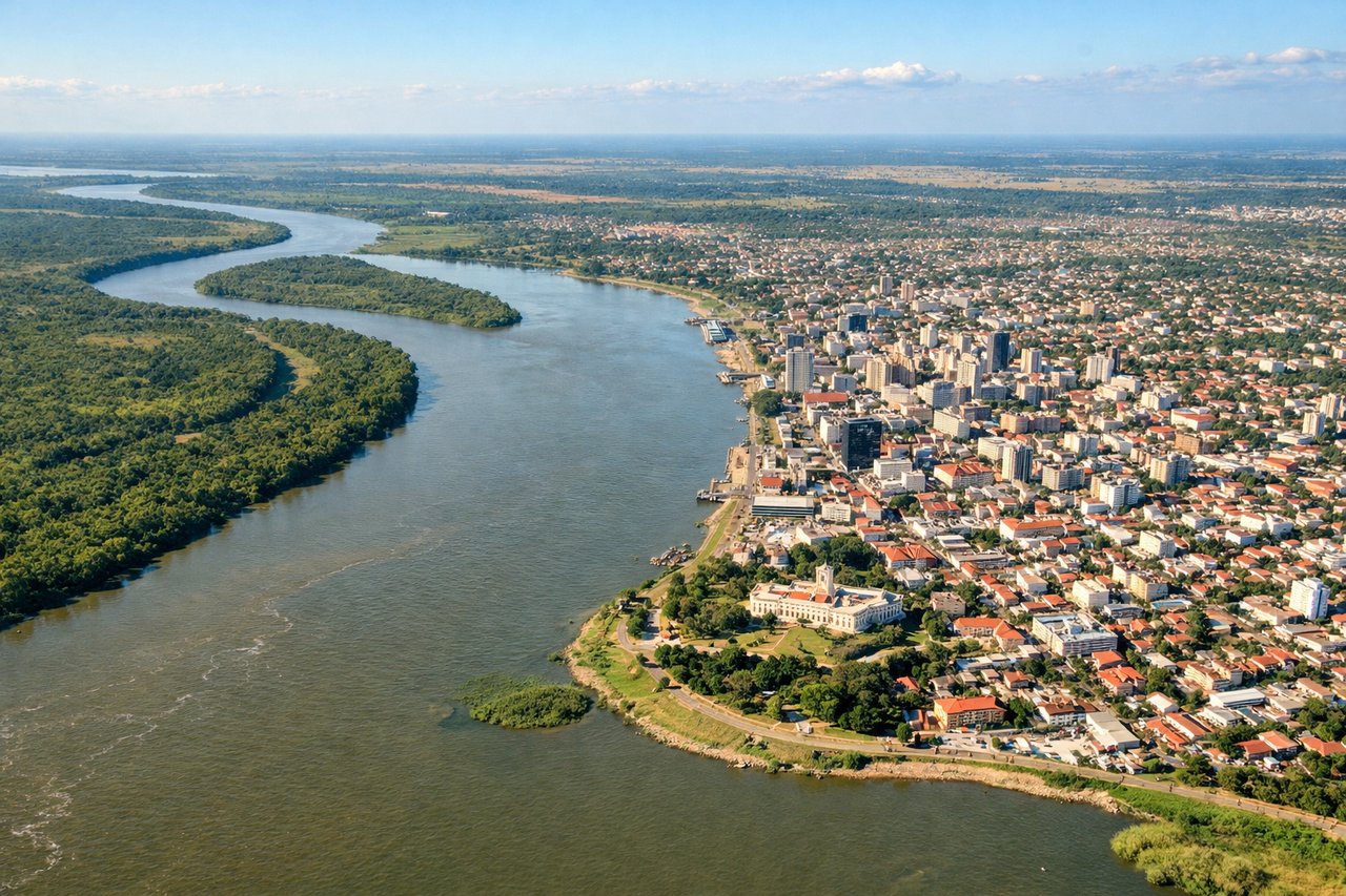
LEFTLeft-side seats provide views of the Paraná River and its distinctive meandering course as the aircraft descends toward Asunción from the north. The river's oxbow lakes and wide floodplain are visually prominent and geographically significant. Right side faces interior Paraguay with less distinctive features.
Landmarks on this routeAll landmarks →
Will your flight be in sunlight?
Pick a date and time in the Sun Map to watch the sun move across your whole flight.
About This Route
Which side of the plane should I sit on flying from Eldorado International (BOG) to Silvio Pettirossi International (ASU)?
Sit on the Left side of the plane for the best views on flights from Bogota to Asuncion. While takeoff favors the right for Andean views, the landing approach over the Paraná River on the left is more visually distinctive and occupies a longer portion of the descent. The river's dramatic meanders and oxbow lakes are more striking than the plateau terrain during climb-out.
What can I see during takeoff from Eldorado International in Bogota?
During takeoff from Eldorado International (BOG), sit on the Right side for the best views. Right-side seats offer views of the Cordillera Oriental (Eastern Range) of the Colombian Andes as the aircraft climbs eastward from Bogotá. The mountains rise dramatically from the high plateau, creating a striking visual contrast. Left side faces the city and western plateau with less dramatic terrain. Notable sights include: Cordillera Oriental peaks (including Nevado del Ruiz region to the north), Bogotá urban sprawl on the plateau, Magdalena River valley to the east.
What can I see when landing at Silvio Pettirossi International in Asuncion?
When landing at Silvio Pettirossi International (ASU), sit on the Left side for the best views. Left-side seats provide views of the Paraná River and its distinctive meandering course as the aircraft descends toward Asunción from the north. The river's oxbow lakes and wide floodplain are visually prominent and geographically significant. Right side faces interior Paraguay with less distinctive features. Notable sights include: Paraná River with oxbow lakes and meanders, Asunción city on the western bank, Paraguay River confluence (eastern boundary), floodplain wetlands.
How long is the flight from Bogota to Asuncion?
The flight from Eldorado International (BOG) to Silvio Pettirossi International (ASU) takes about 4 hours. The shortest flight path between them is 2,351 miles (3,783 km); winds and air traffic control usually add a few percent.
What does the Bogota to Asuncion flight path pass over?
The flight path crosses the Colombian-Venezuelan border region, then descends over the Llanos Orientales (eastern plains) of Colombia and Venezuela—a vast, flat savanna landscape with scattered rivers and forest patches. As the aircraft moves south into Brazil and Paraguay, the terrain transitions to the Cerrado (tropical savanna) and then to the Paraná River basin. The most notable midpoint feature is the Guaviare River valley in southeastern Colombia, visible as a dark green ribbon cutting through lighter savanna. Further south, the flight passes over the Mato Grosso do Sul region of Brazil, characterized by rolling plateaus and scattered forest reserves. No major mountain ranges are visible during the cruise phase—the landscape is predominantly low-relief savanna and forest.