While takeoff favors the left with Mumbai's coastal skyline, the right side wins overall thanks to the dramatic Zagros Mountains and Iranian plateau crossed during cruise, followed by a scenic Bosphorus-side approach into Istanbul.
Flown BOM to IST? Did we get it right?
Flight Path
Bombay to Istanbul is 3,005 miles (4,836 km), a flight of about 6 hours 10 minutes.
Arabian Sea, Persian Gulf coastline, Zagros Mountains, Iranian Plateau, eastern Anatolian highlands
Great circle distance and headings ›Phase by phase
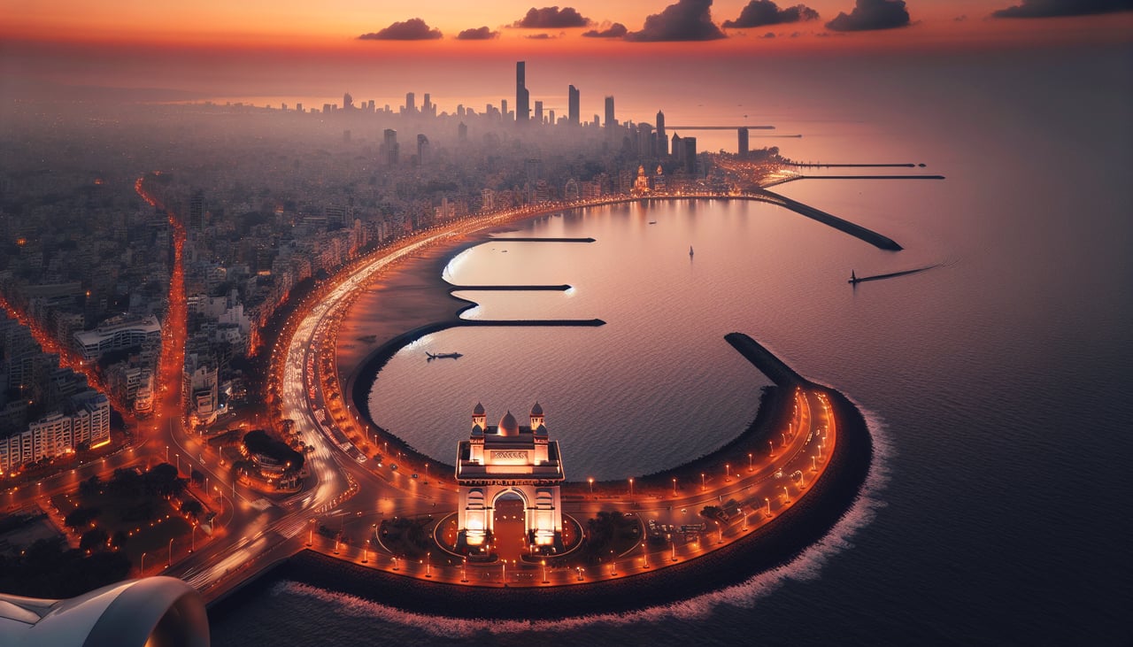
Takeoff from BOM
LEFTDeparting BOM to the west/northwest, the left side gives passengers a last look at Mumbai's coastline, including Marine Drive and the Bandra-Worli Sea Link, before the aircraft turns out over the Arabian Sea. The right side mostly shows dense suburban sprawl with fewer distinct landmarks.
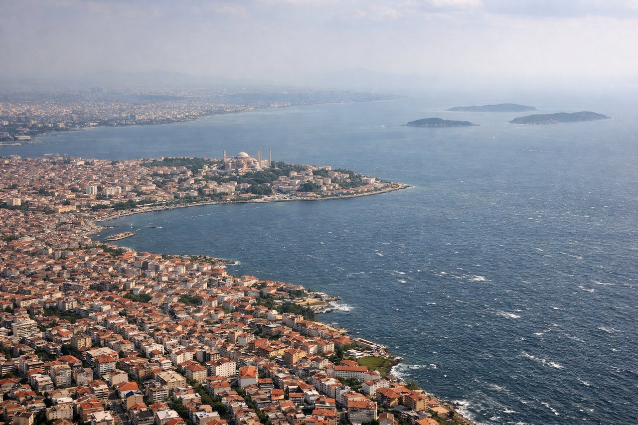
Landing at IST
RIGHTOn approach into IST from the south or southeast, the right side typically offers a view over the Sea of Marmara toward the Bosphorus strait and Istanbul's historic skyline, including the twin bridges connecting Europe and Asia. The left side mainly shows open water or flatter Thracian countryside with less visual interest.
Will your flight be in sunlight?
Pick a date and time in the Sun Map to watch the sun move across your whole flight.
About This Route
Which side of the plane should I sit on flying from Chhatrapati Shivaji International (BOM) to İstanbul Airport (IST)?
Sit on the Right side of the plane for the best views on flights from Bombay to Istanbul. While takeoff favors the left with Mumbai's coastal skyline, the right side wins overall thanks to the dramatic Zagros Mountains and Iranian plateau crossed during cruise, followed by a scenic Bosphorus-side approach into Istanbul.
What can I see during takeoff from Chhatrapati Shivaji International in Bombay?
During takeoff from Chhatrapati Shivaji International (BOM), sit on the Left side for the best views. Departing BOM to the west/northwest, the left side gives passengers a last look at Mumbai's coastline, including Marine Drive and the Bandra-Worli Sea Link, before the aircraft turns out over the Arabian Sea. The right side mostly shows dense suburban sprawl with fewer distinct landmarks. Notable sights include: Mumbai coastline, Bandra-Worli Sea Link, Marine Drive, Arabian Sea.
What can I see when landing at İstanbul Airport in Istanbul?
When landing at İstanbul Airport (IST), sit on the Right side for the best views. On approach into IST from the south or southeast, the right side typically offers a view over the Sea of Marmara toward the Bosphorus strait and Istanbul's historic skyline, including the twin bridges connecting Europe and Asia. The left side mainly shows open water or flatter Thracian countryside with less visual interest. Notable sights include: Bosphorus Strait, Sea of Marmara, Istanbul skyline, Bosphorus Bridge.
How long is the flight from Bombay to Istanbul?
The flight from Chhatrapati Shivaji International (BOM) to İstanbul Airport (IST) takes about 6 hours 10 minutes. The shortest flight path between them is 3,005 miles (4,836 km); winds and air traffic control usually add a few percent.
What does the Bombay to Istanbul flight path pass over?
Arabian Sea, Persian Gulf coastline, Zagros Mountains, Iranian Plateau, eastern Anatolian highlands