The right-side view captures both scenic bookends of the flight — the Western Ghats and Mumbai harbor at departure, and the hilly, coastal approach into Visakhapatnam — while the left side offers mostly flat, featureless plateau throughout the short cruise.
Flown BOM to VTZ? Did we get it right?
Flight Path
Bombay to Visakhapatnam is 701 miles (1,128 km), a flight of about 1 hour 40 minutes.
Deccan plateau farmland, scattered reservoirs, and the broad Godavari River basin crossing central India
Great circle distance and headings ›Phase by phase
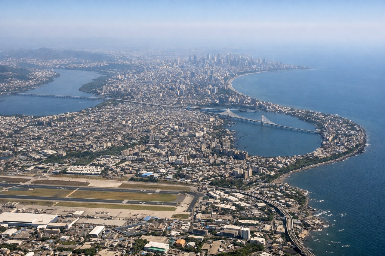
Takeoff from BOM
RIGHTDeparting BOM eastbound, the right side gives passengers a last look at Mumbai's harbor islands and the forested Western Ghats escarpment rising just inland before the aircraft climbs over the Deccan plateau. The left side mostly shows flat northern suburbs and haze over the Arabian Sea horizon.

Landing at VTZ
RIGHTOn approach into VTZ from the northeast, the right side faces the coastal hills around Kailasagiri and the fishing harbor, offering a dramatic mix of green ridgeline and blue Bay of Bengal water as the runway comes into view. The left side mostly shows flat cargo yards and the port's industrial zone.
Will your flight be in sunlight?
Pick a date and time in the Sun Map to watch the sun move across your whole flight.
About This Route
Which side of the plane should I sit on flying from Chhatrapati Shivaji International (BOM) to Alluri Sitarama Raju International Airport (Vizag) (VTZ)?
Sit on the Right side of the plane for the best views on flights from Bombay to Visakhapatnam. The right-side view captures both scenic bookends of the flight — the Western Ghats and Mumbai harbor at departure, and the hilly, coastal approach into Visakhapatnam — while the left side offers mostly flat, featureless plateau throughout the short cruise.
What can I see during takeoff from Chhatrapati Shivaji International in Bombay?
During takeoff from Chhatrapati Shivaji International (BOM), sit on the Right side for the best views. Departing BOM eastbound, the right side gives passengers a last look at Mumbai's harbor islands and the forested Western Ghats escarpment rising just inland before the aircraft climbs over the Deccan plateau. The left side mostly shows flat northern suburbs and haze over the Arabian Sea horizon. Notable sights include: Elephanta Island, Thane Creek, Western Ghats foothills, Mumbai harbor.
What can I see when landing at Alluri Sitarama Raju International Airport (Vizag) in Visakhapatnam?
When landing at Alluri Sitarama Raju International Airport (Vizag) (VTZ), sit on the Right side for the best views. On approach into VTZ from the northeast, the right side faces the coastal hills around Kailasagiri and the fishing harbor, offering a dramatic mix of green ridgeline and blue Bay of Bengal water as the runway comes into view. The left side mostly shows flat cargo yards and the port's industrial zone. Notable sights include: Kailasagiri hill, Visakhapatnam harbor, Bay of Bengal coastline, Dolphin's Nose headland.
How long is the flight from Bombay to Visakhapatnam?
The flight from Chhatrapati Shivaji International (BOM) to Alluri Sitarama Raju International Airport (Vizag) (VTZ) takes about 1 hour 40 minutes. The shortest flight path between them is 701 miles (1,128 km); winds and air traffic control usually add a few percent.
What does the Bombay to Visakhapatnam flight path pass over?
Deccan plateau farmland, scattered reservoirs, and the broad Godavari River basin crossing central India