Right side scores higher (3.5 vs 2.5) due to superior scenic variety across the full flight: coastal departure over Balikpapan Bay and the Makassar Strait, extended cruise over the Sulu Sea and Philippine waters with occasional island clusters, and a dramatic final approach into Hong Kong's iconic Victoria Harbour with steep mountainous terrain. Left side offers only flat rainforest departure and the monotonous Pearl River Delta industrial landscape on arrival.
Flown BPN to HKG? Did we get it right?
Flight Path
Balikpapan to Hong Kong is 1,642 miles (2,642 km), a flight of about 4 hours 15 minutes.
Sulu Sea (open water, minimal landmarks), Palawan's western coast (distant, low profile), Mindoro Strait approaches, South China Sea transition zone with scattered fishing vessels and occasional small island groups, gradual approach to Hong Kong's outlying islands (Lantau, Lamma) before final descent into Victoria Harbour
Great circle distance and headings ›

Phase by phase
Takeoff from BPN
RIGHTRight side captures Balikpapan's coastal departure over the Makassar Strait with immediate views of the Borneo shoreline, mangrove deltas, and offshore oil platforms. Left side departs inland over flat equatorial forest with minimal visual interest.
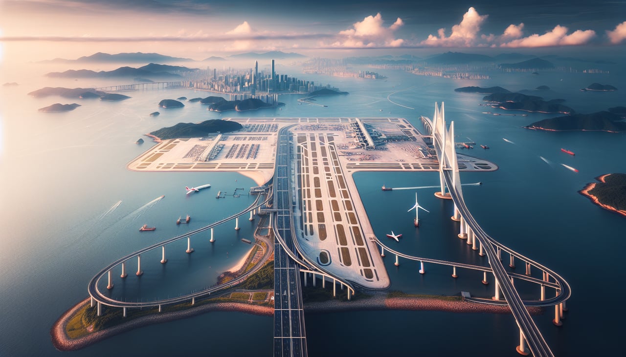
Landing at HKG
RIGHTRight side (south/southwest approach) offers extended views of Hong Kong's dramatic geography: Victoria Harbour, Kowloon Peninsula skyline, and the New Territories' mountainous terrain. Left side (north approach) crosses the Pearl River Delta's flat industrial sprawl with less visual drama.
Will your flight be in sunlight?
Pick a date and time in the Sun Map to watch the sun move across your whole flight.
About This Route
Which side of the plane should I sit on flying from Sultan Aji Muhammad Sulaiman Sepinggan International Airport (BPN) to Hong Kong International (HKG)?
Sit on the Right side of the plane for the best views on flights from Balikpapan to Hong Kong. Right side scores higher (3.5 vs 2.5) due to superior scenic variety across the full flight: coastal departure over Balikpapan Bay and the Makassar Strait, extended cruise over the Sulu Sea and Philippine waters with occasional island clusters, and a dramatic final approach into Hong Kong's iconic Victoria Harbour with steep mountainous terrain. Left side offers only flat rainforest departure and the monotonous Pearl River Delta industrial landscape on arrival.
What can I see during takeoff from Sultan Aji Muhammad Sulaiman Sepinggan International Airport in Balikpapan?
During takeoff from Sultan Aji Muhammad Sulaiman Sepinggan International Airport (BPN), sit on the Right side for the best views. Right side captures Balikpapan's coastal departure over the Makassar Strait with immediate views of the Borneo shoreline, mangrove deltas, and offshore oil platforms. Left side departs inland over flat equatorial forest with minimal visual interest. Notable sights include: Makassar Strait, Balikpapan Bay, Borneo mangrove coastline, offshore petroleum infrastructure.
What can I see when landing at Hong Kong International in Hong Kong?
When landing at Hong Kong International (HKG), sit on the Right side for the best views. Right side (south/southwest approach) offers extended views of Hong Kong's dramatic geography: Victoria Harbour, Kowloon Peninsula skyline, and the New Territories' mountainous terrain. Left side (north approach) crosses the Pearl River Delta's flat industrial sprawl with less visual drama. Notable sights include: Victoria Harbour, Kowloon Peninsula, Hong Kong Island peaks, New Territories mountains.
How long is the flight from Balikpapan to Hong Kong?
The flight from Sultan Aji Muhammad Sulaiman Sepinggan International Airport (BPN) to Hong Kong International (HKG) takes about 4 hours 15 minutes. The shortest flight path between them is 1,642 miles (2,642 km); winds and air traffic control usually add a few percent.
What does the Balikpapan to Hong Kong flight path pass over?
Sulu Sea (open water, minimal landmarks), Palawan's western coast (distant, low profile), Mindoro Strait approaches, South China Sea transition zone with scattered fishing vessels and occasional small island groups, gradual approach to Hong Kong's outlying islands (Lantau, Lamma) before final descent into Victoria Harbour