The left side wins on both ends of the flight — the Ardennes on departure and the Appalachian foothills on arrival — while the right side mostly shows flat plains and open ocean during the long transatlantic cruise.
Flown BRU to ATL? Did we get it right?
Flight Path
Brussels to Atlanta is 4,415 miles (7,106 km), a flight of about 9 hours 55 minutes.
Southern Ireland coastline, the North Atlantic, Newfoundland's rugged coast, and the Gulf of St. Lawrence region are the main features along the great-circle track before the route continues south over eastern Canada and the Appalachians toward Georgia.
Great circle distance and headings ›


Phase by phase
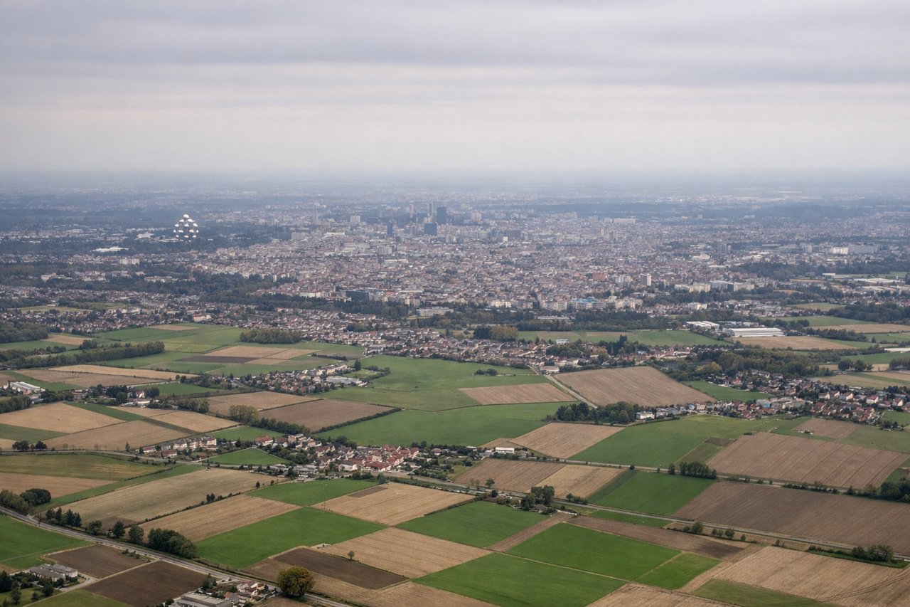
Takeoff from BRU
LEFTDeparting west on runway 25, the left side offers a view back over Brussels' urban core and the rolling hills and forests of the Ardennes further south, while the right side shows only the flat Flemish plain and North Sea haze.
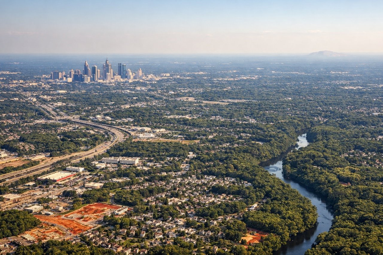
Landing at ATL
LEFTOn the descent into Atlanta from the northeast, the left side reveals the forested ridges of the southern Appalachians and north Georgia's rolling terrain before the plane levels out over the flatter Piedmont approach to the airport.
Will your flight be in sunlight?
Pick a date and time in the Sun Map to watch the sun move across your whole flight.
About This Route
Which side of the plane should I sit on flying from Brussels Natl (BRU) to The William B Hartsfield Atlanta International (ATL)?
Sit on the Left side of the plane for the best views on flights from Brussels to Atlanta. The left side wins on both ends of the flight — the Ardennes on departure and the Appalachian foothills on arrival — while the right side mostly shows flat plains and open ocean during the long transatlantic cruise.
What can I see during takeoff from Brussels Natl in Brussels?
During takeoff from Brussels Natl (BRU), sit on the Left side for the best views. Departing west on runway 25, the left side offers a view back over Brussels' urban core and the rolling hills and forests of the Ardennes further south, while the right side shows only the flat Flemish plain and North Sea haze. Notable sights include: Brussels city center, Sonian Forest, rolling Ardennes foothills to the south.
What can I see when landing at The William B Hartsfield Atlanta International in Atlanta?
When landing at The William B Hartsfield Atlanta International (ATL), sit on the Left side for the best views. On the descent into Atlanta from the northeast, the left side reveals the forested ridges of the southern Appalachians and north Georgia's rolling terrain before the plane levels out over the flatter Piedmont approach to the airport. Notable sights include: Blue Ridge foothills, Chattahoochee National Forest ridgelines, north Georgia lake country, Atlanta's downtown skyline in the distance.
How long is the flight from Brussels to Atlanta?
The flight from Brussels Natl (BRU) to The William B Hartsfield Atlanta International (ATL) takes about 9 hours 55 minutes. The shortest flight path between them is 4,415 miles (7,106 km); winds and air traffic control usually add a few percent.
What does the Brussels to Atlanta flight path pass over?
Southern Ireland coastline, the North Atlantic, Newfoundland's rugged coast, and the Gulf of St. Lawrence region are the main features along the great-circle track before the route continues south over eastern Canada and the Appalachians toward Georgia.