Guangzhou to Kathmandu is 1,763 miles (2,837 km), a flight of about 4 hours 50 minutes.
The right (north-facing) side offers dramatic Himalayan scenery during the descent and final approach into Kathmandu, a payoff strong enough to outweigh the modest, mostly flat scenery over southern China and Myanmar earlier in the flight.
Flight Path
Yunnan-Guizhou Plateau, Hengduan Mountains, upper Mekong and Salween river valleys, edge of the Tibetan Plateau, Himalayan foothills approaching Nepal
Great circle distance and headings ›.jpg?width=600)

Phase by phase
Takeoff from CAN
LEFTDeparting Guangzhou Baiyun, the initial climb-out and turn give a brief look over the Pearl River Delta's dense urban sprawl and waterways on the south-facing side, while the north side mostly shows the flatter Baiyun district and haze-covered hills.
Landing at KTM
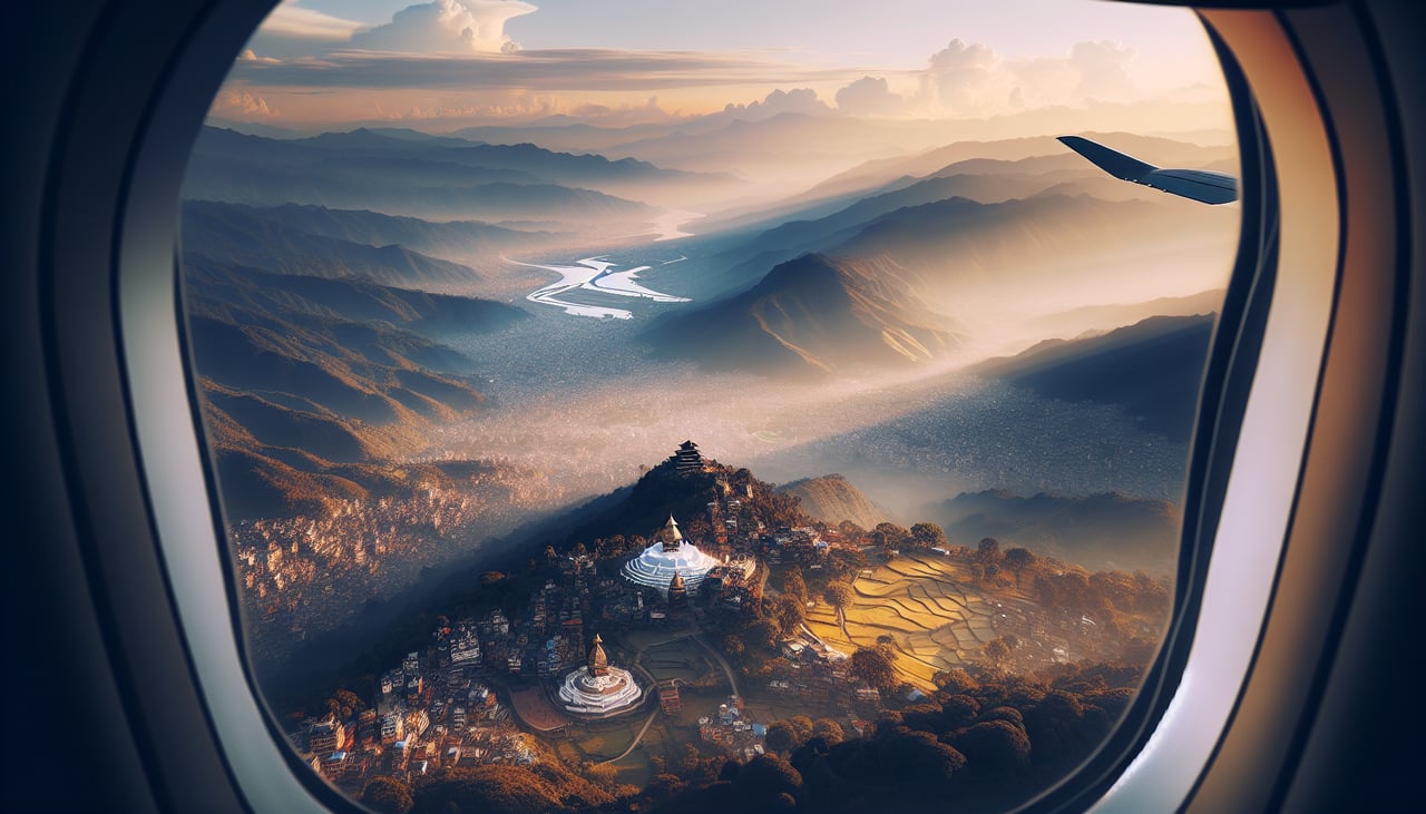
RIGHTOn approach into Kathmandu from the south with a landing to the north (runway 02), the right side of the aircraft faces the Himalayan front range, giving passengers a striking view of snow-capped peaks like Langtang and Ganesh Himal beyond the terraced hills of the Kathmandu Valley.
Landmarks on this routeAll landmarks →
Will your flight be in sunlight?
Pick a date and time in the Sun Map to watch the sun move across your whole flight.
About This Route
Which side of the plane should I sit on flying from Guangzhou Baiyun International Airport (CAN) to Tribhuvan International (KTM)?
Sit on the Right side of the plane for the best views on flights from Guangzhou to Kathmandu. The right (north-facing) side offers dramatic Himalayan scenery during the descent and final approach into Kathmandu, a payoff strong enough to outweigh the modest, mostly flat scenery over southern China and Myanmar earlier in the flight.
What can I see during takeoff from Guangzhou Baiyun International Airport in Guangzhou?
During takeoff from Guangzhou Baiyun International Airport (CAN), sit on the Left side for the best views. Departing Guangzhou Baiyun, the initial climb-out and turn give a brief look over the Pearl River Delta's dense urban sprawl and waterways on the south-facing side, while the north side mostly shows the flatter Baiyun district and haze-covered hills. Notable sights include: Pearl River Delta, Guangzhou city skyline, Baiyun district hills.
What can I see when landing at Tribhuvan International in Kathmandu?
When landing at Tribhuvan International (KTM), sit on the Right side for the best views. On approach into Kathmandu from the south with a landing to the north (runway 02), the right side of the aircraft faces the Himalayan front range, giving passengers a striking view of snow-capped peaks like Langtang and Ganesh Himal beyond the terraced hills of the Kathmandu Valley. Notable sights include: Kathmandu Valley terraces, Langtang Himal range, Ganesh Himal peaks, Bagmati river valley.
How long is the flight from Guangzhou to Kathmandu?
The flight from Guangzhou Baiyun International Airport (CAN) to Tribhuvan International (KTM) takes about 4 hours 50 minutes. The shortest flight path between them is 1,763 miles (2,837 km); winds and air traffic control usually add a few percent.
What does the Guangzhou to Kathmandu flight path pass over?
Yunnan-Guizhou Plateau, Hengduan Mountains, upper Mekong and Salween river valleys, edge of the Tibetan Plateau, Himalayan foothills approaching Nepal