The west side offers the only real terrain variation on this route — low hills near Guangzhou at departure and the Taihang Mountains framing the Beijing approach — while the east side stays flat and featureless for the entire flight.
Flown CAN to PKX? Did we get it right?
Flight Path
Guangzhou to Beijing is 1,128 miles (1,815 km), a flight of about 3 hours 10 minutes.
Cruise passes over the hilly terrain of Hunan and Hubei provinces, crossing the Yangtze River near Wuhan, before flattening out over the North China Plain in Henan and Hebei.
Great circle distance and headings ›Phase by phase
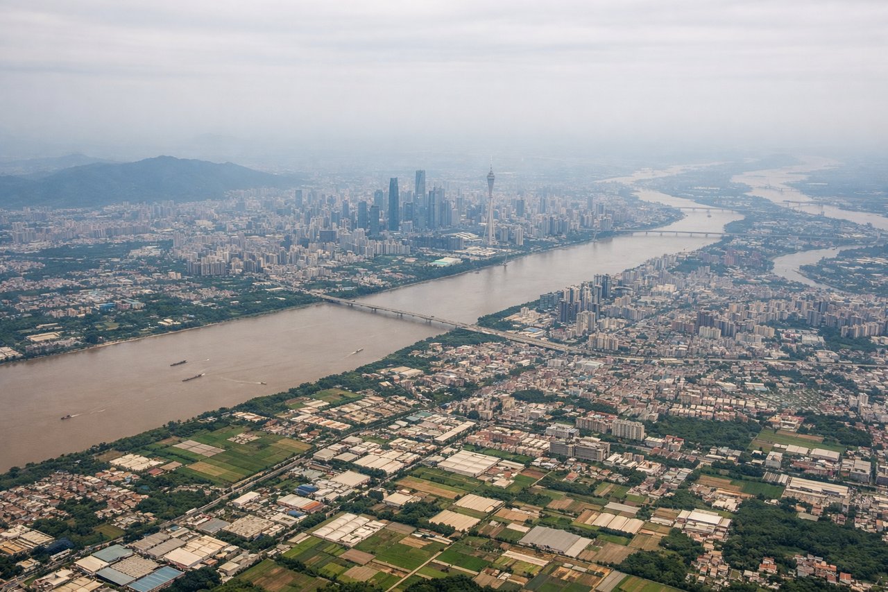
Takeoff from CAN
LEFTDeparting CAN northbound, the west side offers views of the Nanling mountain range's foothills and the hilly terrain of northern Guangdong, giving some relief from the flat delta. The east side shows only the flat, urbanized Pearl River Delta receding into haze.
Landing at PKX
LEFTOn approach into PKX from the south, the west side reveals the Taihang Mountains rising abruptly from the North China Plain, a dramatic contrast to Beijing's flat urban sprawl. The east side shows only the featureless plain stretching toward Tianjin and the Bohai coast, too distant to discern.
Will your flight be in sunlight?
Pick a date and time in the Sun Map to watch the sun move across your whole flight.
About This Route
Which side of the plane should I sit on flying from Guangzhou Baiyun International Airport (CAN) to Beijing Daxing International Airport (PKX)?
Sit on the Left side of the plane for the best views on flights from Guangzhou to Beijing. The west side offers the only real terrain variation on this route — low hills near Guangzhou at departure and the Taihang Mountains framing the Beijing approach — while the east side stays flat and featureless for the entire flight.
What can I see during takeoff from Guangzhou Baiyun International Airport in Guangzhou?
During takeoff from Guangzhou Baiyun International Airport (CAN), sit on the Left side for the best views. Departing CAN northbound, the west side offers views of the Nanling mountain range's foothills and the hilly terrain of northern Guangdong, giving some relief from the flat delta. The east side shows only the flat, urbanized Pearl River Delta receding into haze. Notable sights include: Nanling foothills, Pearl River tributaries, Guangzhou's northern suburbs.
What can I see when landing at Beijing Daxing International Airport in Beijing?
When landing at Beijing Daxing International Airport (PKX), sit on the Left side for the best views. On approach into PKX from the south, the west side reveals the Taihang Mountains rising abruptly from the North China Plain, a dramatic contrast to Beijing's flat urban sprawl. The east side shows only the featureless plain stretching toward Tianjin and the Bohai coast, too distant to discern. Notable sights include: Taihang Mountains, North China Plain farmland, Beijing's southern suburbs, Yongding River.
How long is the flight from Guangzhou to Beijing?
The flight from Guangzhou Baiyun International Airport (CAN) to Beijing Daxing International Airport (PKX) takes about 3 hours 10 minutes. The shortest flight path between them is 1,128 miles (1,815 km); winds and air traffic control usually add a few percent.
What does the Guangzhou to Beijing flight path pass over?
Cruise passes over the hilly terrain of Hunan and Hubei provinces, crossing the Yangtze River near Wuhan, before flattening out over the North China Plain in Henan and Hebei.