Cebu to Puerto Princesa is 357 miles (575 km), a flight of about 1 hour 15 minutes.
The left side delivers a more consistent run of scenery: Cebu City and its channel bridges at takeoff, Kanlaon Volcano on the climb-out, and Palawan's forested mountain spine visible again during the final descent, giving it a slight edge over the right side's single strong highlight at Honda Bay.
Flight Path
Open Sulu Sea crossing with Negros Island's volcanic peaks fading behind and Palawan's eastern coastline emerging ahead; the Cuyo Island group may be faintly visible far to the north on clear days.
Great circle distance and headings ›Phase by phase
Takeoff from CEB
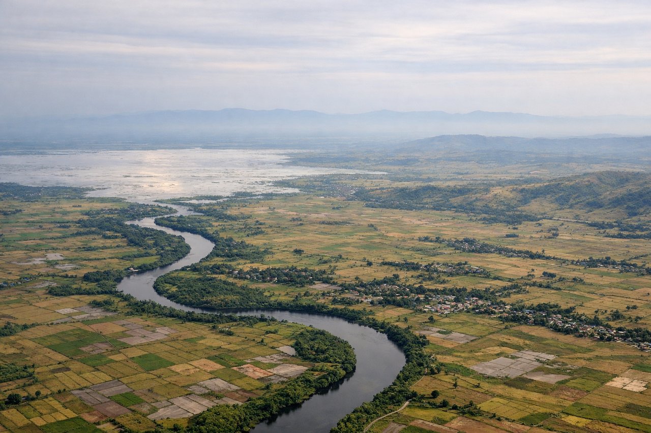
LEFTDeparting Mactan and turning southwest toward Palawan, the left side looks across the Mactan Channel to Cebu City's skyline and the bridges linking Mactan to Cebu Island, with Negros Island's Kanlaon Volcano rising on the horizon as the climb continues over the Tañon Strait.
Landing at PPS
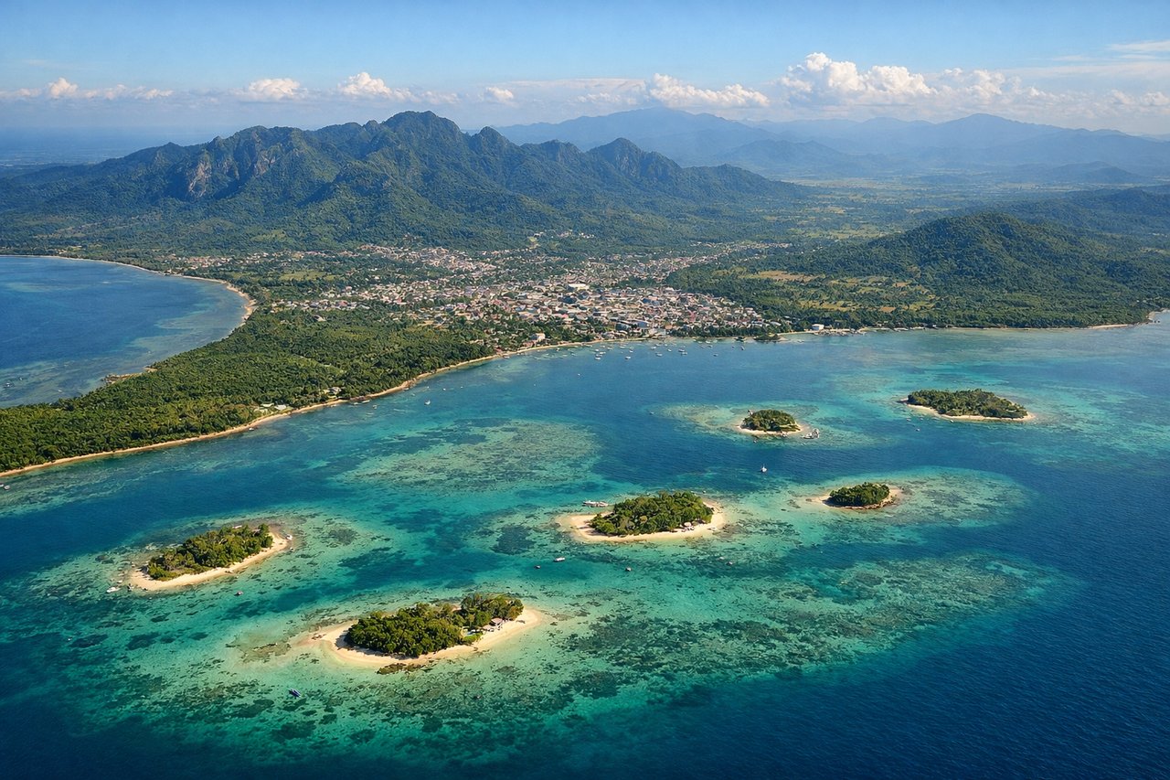
RIGHTOn approach into Puerto Princesa from the east, the aircraft typically passes north of the city before turning onto final for runway 27, giving right-side passengers a clear look down at Honda Bay's scattered limestone islets and turquoise reef flats before the plane lines up over Puerto Princesa Bay.
Will your flight be in sunlight?
Pick a date and time in the Sun Map to watch the sun move across your whole flight.
About This Route
Which side of the plane should I sit on flying from Mactan Cebu International Airport (CEB) to Puerto Princesa (PPS)?
Sit on the Left side of the plane for the best views on flights from Cebu to Puerto Princesa. The left side delivers a more consistent run of scenery: Cebu City and its channel bridges at takeoff, Kanlaon Volcano on the climb-out, and Palawan's forested mountain spine visible again during the final descent, giving it a slight edge over the right side's single strong highlight at Honda Bay.
What can I see during takeoff from Mactan Cebu International Airport in Cebu?
During takeoff from Mactan Cebu International Airport (CEB), sit on the Left side for the best views. Departing Mactan and turning southwest toward Palawan, the left side looks across the Mactan Channel to Cebu City's skyline and the bridges linking Mactan to Cebu Island, with Negros Island's Kanlaon Volcano rising on the horizon as the climb continues over the Tañon Strait. Notable sights include: Cebu City skyline, Mactan-Mandaue bridges, Tañon Strait, Kanlaon Volcano (Negros).
What can I see when landing at Puerto Princesa in Puerto Princesa?
When landing at Puerto Princesa (PPS), sit on the Right side for the best views. On approach into Puerto Princesa from the east, the aircraft typically passes north of the city before turning onto final for runway 27, giving right-side passengers a clear look down at Honda Bay's scattered limestone islets and turquoise reef flats before the plane lines up over Puerto Princesa Bay. Notable sights include: Honda Bay islets, turquoise reef flats, Puerto Princesa Bay, Palawan's central mountain range.
How long is the flight from Cebu to Puerto Princesa?
The flight from Mactan Cebu International Airport (CEB) to Puerto Princesa (PPS) takes about 1 hour 15 minutes. The shortest flight path between them is 357 miles (575 km); winds and air traffic control usually add a few percent.
What does the Cebu to Puerto Princesa flight path pass over?
Open Sulu Sea crossing with Negros Island's volcanic peaks fading behind and Palawan's eastern coastline emerging ahead; the Cuyo Island group may be faintly visible far to the north on clear days.