The left side tracks the Philippine and Chinese coastlines and mountain terrain for nearly the whole flight — Cebu's skyline and hills at takeoff, Luzon's Bicol volcanoes and Taiwan's Central Mountain Range during cruise, and the Yangtze Delta on approach — while the right side stays over open ocean almost the entire route.
Flown CEB to PVG? Did we get it right?
Flight Path
Cebu to Shanghai is 1,446 miles (2,327 km), a flight of about 3 hours 55 minutes.
Luzon Strait (Bashi Channel) between the Philippines and Taiwan, the Central Mountain Range along Taiwan's east coast, and the open Philippine Sea leading into the East China Sea
Great circle distance and headings ›

Phase by phase
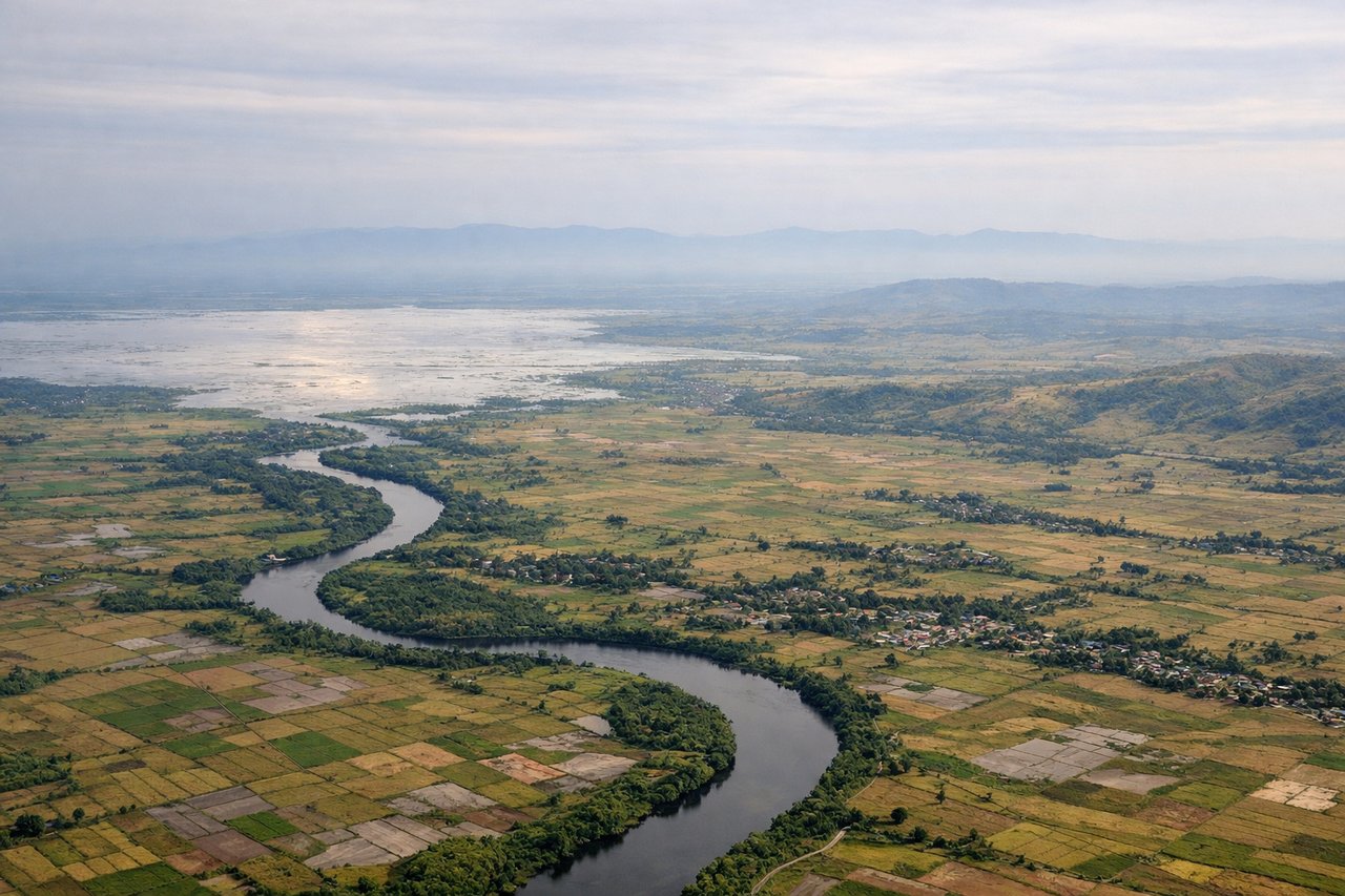
Takeoff from CEB
LEFTMactan Airport sits on an island just east of Cebu City across a narrow channel, so the initial climb and turn north puts Cebu City's skyline, the inter-island bridges, and Cebu's central mountain ridge on the left side. The right side only shows open water toward Bohol and the Camotes Sea.
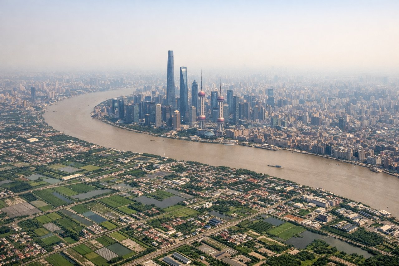
Landing at PVG
LEFTOn approach to Pudong from the south, the flight path crosses Hangzhou Bay and the Yangtze River Delta, giving left-side passengers views of the bay's coastline, aquaculture patterns, and Shanghai's distant skyline before the final turn onto the north-south runways. The right side faces the open East China Sea with little to see.
Will your flight be in sunlight?
Pick a date and time in the Sun Map to watch the sun move across your whole flight.
About This Route
Which side of the plane should I sit on flying from Mactan Cebu International Airport (CEB) to Shanghai Pudong International (PVG)?
Sit on the Left side of the plane for the best views on flights from Cebu to Shanghai. The left side tracks the Philippine and Chinese coastlines and mountain terrain for nearly the whole flight — Cebu's skyline and hills at takeoff, Luzon's Bicol volcanoes and Taiwan's Central Mountain Range during cruise, and the Yangtze Delta on approach — while the right side stays over open ocean almost the entire route.
What can I see during takeoff from Mactan Cebu International Airport in Cebu?
During takeoff from Mactan Cebu International Airport (CEB), sit on the Left side for the best views. Mactan Airport sits on an island just east of Cebu City across a narrow channel, so the initial climb and turn north puts Cebu City's skyline, the inter-island bridges, and Cebu's central mountain ridge on the left side. The right side only shows open water toward Bohol and the Camotes Sea. Notable sights include: Cebu City skyline, Mactan-Mandaue and Marcelo Fernan bridges, Cebu's central mountain spine, Bohol Strait.
What can I see when landing at Shanghai Pudong International in Shanghai?
When landing at Shanghai Pudong International (PVG), sit on the Left side for the best views. On approach to Pudong from the south, the flight path crosses Hangzhou Bay and the Yangtze River Delta, giving left-side passengers views of the bay's coastline, aquaculture patterns, and Shanghai's distant skyline before the final turn onto the north-south runways. The right side faces the open East China Sea with little to see. Notable sights include: Hangzhou Bay coastline, Yangtze River Delta wetlands and fish ponds, distant Shanghai/Pudong skyline, Donghai Bridge area.
How long is the flight from Cebu to Shanghai?
The flight from Mactan Cebu International Airport (CEB) to Shanghai Pudong International (PVG) takes about 3 hours 55 minutes. The shortest flight path between them is 1,446 miles (2,327 km); winds and air traffic control usually add a few percent.
What does the Cebu to Shanghai flight path pass over?
Luzon Strait (Bashi Channel) between the Philippines and Taiwan, the Central Mountain Range along Taiwan's east coast, and the open Philippine Sea leading into the East China Sea